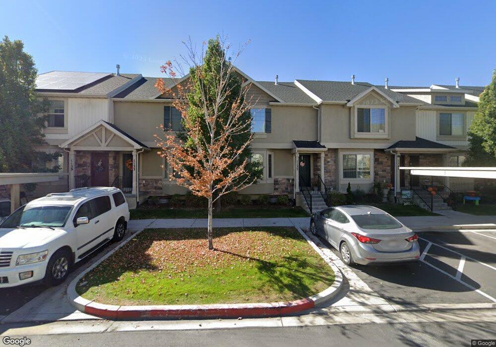
1133 N 1880 W Unit 141 Provo, UT 84604
Rivergrove NeighborhoodEstimated Value: $395,000 - $402,000
3
Beds
3
Baths
2,084
Sq Ft
$191/Sq Ft
Est. Value
About This Home
This home is located at 1133 N 1880 W Unit 141, Provo, UT 84604 and is currently estimated at $397,192, approximately $190 per square foot. 1133 N 1880 W Unit 141 is a home located in Utah County with nearby schools including Westridge Elementary School, Dixon Middle School, and Provo High School.
Ownership History
Date
Name
Owned For
Owner Type
Purchase Details
Closed on
Dec 1, 2018
Sold by
Jenson Broox
Bought by
Bugby Stephen Edward and The Spark Revocable Living Tru
Current Estimated Value
Purchase Details
Closed on
Aug 31, 2016
Sold by
Maddox Independence Rentals Llc
Bought by
Jenson Broox
Home Financials for this Owner
Home Financials are based on the most recent Mortgage that was taken out on this home.
Original Mortgage
$205,214
Interest Rate
3.75%
Mortgage Type
FHA
Create a Home Valuation Report for This Property
The Home Valuation Report is an in-depth analysis detailing your home's value as well as a comparison with similar homes in the area
Home Values in the Area
Average Home Value in this Area
Purchase History
| Date | Buyer | Sale Price | Title Company |
|---|---|---|---|
| Bugby Stephen Edward | -- | Title Guarantee | |
| Jenson Broox | -- | Provo Land Title Co |
Source: Public Records
Mortgage History
| Date | Status | Borrower | Loan Amount |
|---|---|---|---|
| Previous Owner | Jenson Broox | $205,214 |
Source: Public Records
Tax History Compared to Growth
Tax History
| Year | Tax Paid | Tax Assessment Tax Assessment Total Assessment is a certain percentage of the fair market value that is determined by local assessors to be the total taxable value of land and additions on the property. | Land | Improvement |
|---|---|---|---|---|
| 2025 | $2,075 | $204,545 | $54,700 | $317,200 |
| 2024 | $2,001 | $204,270 | $0 | $0 |
| 2023 | $2,001 | $194,205 | $0 | $0 |
| 2022 | $1,959 | $191,675 | $0 | $0 |
| 2021 | $1,535 | $262,000 | $39,300 | $222,700 |
| 2020 | $1,571 | $251,400 | $37,700 | $213,700 |
| 2019 | $1,503 | $250,000 | $32,500 | $217,500 |
| 2018 | $1,351 | $228,000 | $29,000 | $199,000 |
| 2017 | $1,220 | $113,080 | $0 | $0 |
| 2016 | $1,228 | $106,150 | $0 | $0 |
| 2015 | $1,159 | $101,200 | $0 | $0 |
| 2014 | $308 | $28,000 | $0 | $0 |
Source: Public Records
Map
Nearby Homes
- 1127 Independence Ave
- 2043 W 1100 N
- 2075 W 1080 N
- 1893 Cascade Dr
- 962 Independence Ave
- 927 Independence Ave
- 932 N 1760 W
- 2397 W 1160 N
- 1503 N 1980 W
- 1620 W 1000 N
- 1616 N 2100 W
- 1574 W 1400 N
- 1682 N 2250 W
- 582 N 2310 W
- 1679 N 2250 W
- 1471 W 1460 N
- 2216 W 480 N
- 2316 W 510 N
- 1475 Arthur Dr Unit 7A
- 2711 W 1390 N
- 1133 N 1880 W
- 1137 N 1880 W
- 1141 N 1880 W Unit 143
- 1141 N 1880 W
- 1121 N 1880 W
- 1145 N 1880 W
- 1117 N 1880 W
- 1149 N 1880 W Unit 145
- 1113 N 1880 W
- 1135 Independence Ave Unit 152
- 1135 Independence Ave
- 1131 Independence Ave Unit 151
- 1131 Independence Ave
- 1127 Independence Ave Unit 150
- 1143 Independence Ave
- 1123 Independence Ave Unit 149
- 1147 Independence Ave
- 1119 Independence Ave Unit 148
- 1115 Independence Ave Unit 147C
- 1115 Independence Ave