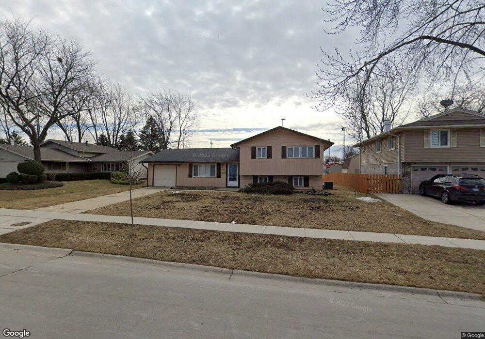
1133 Perth Dr Schaumburg, IL 60194
Hoover Park NeighborhoodEstimated Value: $361,000 - $393,866
3
Beds
2
Baths
1,268
Sq Ft
$303/Sq Ft
Est. Value
About This Home
This home is located at 1133 Perth Dr, Schaumburg, IL 60194 and is currently estimated at $383,967, approximately $302 per square foot. 1133 Perth Dr is a home located in Cook County with nearby schools including Enders-Salk Elementary School, Helen Keller Junior High School, and Schaumburg High School.
Ownership History
Date
Name
Owned For
Owner Type
Purchase Details
Closed on
Aug 22, 2017
Sold by
Nagpal Harmohan S and Nagpal Poornima
Bought by
Jones Tobey G
Current Estimated Value
Home Financials for this Owner
Home Financials are based on the most recent Mortgage that was taken out on this home.
Original Mortgage
$223,378
Outstanding Balance
$183,955
Interest Rate
3.75%
Mortgage Type
FHA
Estimated Equity
$200,012
Create a Home Valuation Report for This Property
The Home Valuation Report is an in-depth analysis detailing your home's value as well as a comparison with similar homes in the area
Home Values in the Area
Average Home Value in this Area
Purchase History
| Date | Buyer | Sale Price | Title Company |
|---|---|---|---|
| Jones Tobey G | $227,500 | First American Title |
Source: Public Records
Mortgage History
| Date | Status | Borrower | Loan Amount |
|---|---|---|---|
| Open | Jones Tobey G | $223,378 |
Source: Public Records
Tax History
| Year | Tax Paid | Tax Assessment Tax Assessment Total Assessment is a certain percentage of the fair market value that is determined by local assessors to be the total taxable value of land and additions on the property. | Land | Improvement |
|---|---|---|---|---|
| 2025 | $8,404 | $38,000 | $7,956 | $30,044 |
| 2024 | $8,404 | $30,000 | $6,552 | $23,448 |
| 2023 | $8,149 | $30,000 | $6,552 | $23,448 |
| 2022 | $8,149 | $30,000 | $6,552 | $23,448 |
| 2021 | $7,415 | $24,464 | $4,446 | $20,018 |
| 2020 | $7,287 | $24,464 | $4,446 | $20,018 |
| 2019 | $7,368 | $27,488 | $4,446 | $23,042 |
| 2018 | $6,750 | $22,491 | $3,978 | $18,513 |
| 2017 | $6,643 | $22,491 | $3,978 | $18,513 |
| 2016 | $6,213 | $22,491 | $3,978 | $18,513 |
| 2015 | $5,944 | $19,867 | $3,510 | $16,357 |
| 2014 | $5,878 | $19,867 | $3,510 | $16,357 |
| 2013 | $6,105 | $21,174 | $3,510 | $17,664 |
Source: Public Records
Map
Nearby Homes
- 202 Nauset Ln Unit 1321
- 222 Nauset Ln Unit 1344
- 917 Aimtree Place
- 426 Argyll Ln
- 120 Ellington Dr
- 203 Barcliffe Ln Unit 1063
- 18 Dennis Ct Unit 741
- 828 Harwich Ln
- 1312 Wakeby Ln Unit 504
- 424 N Salem Dr
- 107 Tonset Ct Unit 281
- 116 Cotuit Ct Unit 1312
- 658 Claridge Cir Unit 99
- 400 Green River Ct
- 129 Millbrook Ln Unit 231
- 230 Princeton St
- 712 Scarbrough Cir Unit 126
- 395 Washington Blvd
- 6 Stone Bridge Ct
- 540 Newark Ln
- 1137 Perth Dr
- 1129 Perth Dr
- 1125 Perth Dr
- 200 Wickham Dr
- 216 Wianno Ln
- 1124 Perth Dr
- 1121 Perth Dr Unit 1472
- 1123 Perth Dr Unit 1474
- 211 Wickham Dr
- 204 Wickham Dr
- 1117 Perth Dr Unit 1473
- 1119 Perth Dr Unit 1471
- 220 Wianno Ln
- 221 Wianno Ln
- 221 Wickham Dr Unit 7
- 218 Patuxet Ct Unit 1482
- 208 Wickham Dr
- 1113 Perth Dr Unit 1462
- 1113 Perth Dr Unit 1113
- 1115 Perth Dr Unit 1464
Your Personal Tour Guide
Ask me questions while you tour the home.