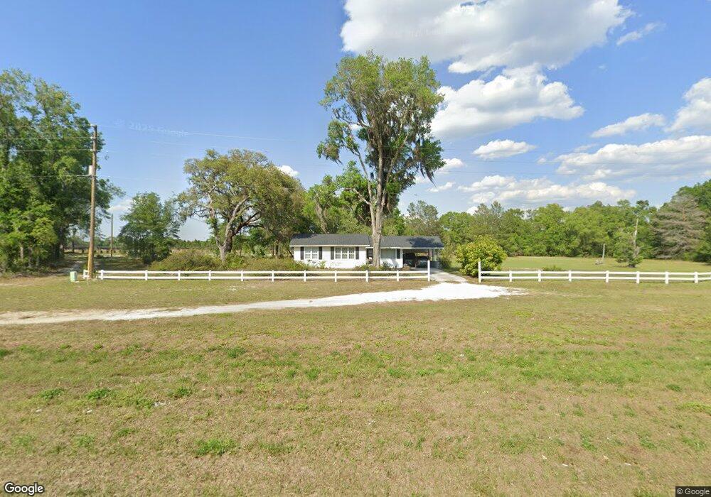
1133 S Us Highway 17 Pierson, FL 32180
Estimated Value: $177,128 - $231,000
2
Beds
1
Bath
864
Sq Ft
$245/Sq Ft
Est. Value
About This Home
This home is located at 1133 S Us Highway 17, Pierson, FL 32180 and is currently estimated at $211,282, approximately $244 per square foot. 1133 S Us Highway 17 is a home located in Volusia County with nearby schools including Pierson Elementary School and T. Dewitt Taylor Middle/High School.
Ownership History
Date
Name
Owned For
Owner Type
Purchase Details
Closed on
Apr 21, 2003
Sold by
Tabor George J
Bought by
Bentley Bertha
Current Estimated Value
Purchase Details
Closed on
Mar 3, 1997
Sold by
Tabor George J and Tabor Gail E
Bought by
Tabor George J
Home Financials for this Owner
Home Financials are based on the most recent Mortgage that was taken out on this home.
Original Mortgage
$10,000
Interest Rate
7.9%
Purchase Details
Closed on
Jul 15, 1989
Bought by
Bentley Bertha E
Create a Home Valuation Report for This Property
The Home Valuation Report is an in-depth analysis detailing your home's value as well as a comparison with similar homes in the area
Home Values in the Area
Average Home Value in this Area
Purchase History
| Date | Buyer | Sale Price | Title Company |
|---|---|---|---|
| Bentley Bertha | -- | -- | |
| Tabor George J | -- | -- | |
| Bentley Bertha E | $100 | -- |
Source: Public Records
Mortgage History
| Date | Status | Borrower | Loan Amount |
|---|---|---|---|
| Previous Owner | Tabor George J | $10,000 |
Source: Public Records
Tax History Compared to Growth
Tax History
| Year | Tax Paid | Tax Assessment Tax Assessment Total Assessment is a certain percentage of the fair market value that is determined by local assessors to be the total taxable value of land and additions on the property. | Land | Improvement |
|---|---|---|---|---|
| 2025 | $565 | $61,410 | -- | -- |
| 2024 | $565 | $59,680 | -- | -- |
| 2023 | $565 | $57,942 | $0 | $0 |
| 2022 | $538 | $56,254 | $0 | $0 |
| 2021 | $547 | $54,616 | $0 | $0 |
| 2020 | $542 | $53,862 | $0 | $0 |
| 2019 | $550 | $52,651 | $0 | $0 |
| 2018 | $539 | $51,669 | $0 | $0 |
| 2017 | $516 | $50,606 | $0 | $0 |
| 2016 | $477 | $49,565 | $0 | $0 |
| 2015 | $485 | $49,220 | $0 | $0 |
| 2014 | $491 | $48,829 | $0 | $0 |
Source: Public Records
Map
Nearby Homes
- 190 Dickie Ln
- 1275 Davidson Dr
- 1340 Church St
- 1625 Meadowville Rd
- 0 N Pine St Unit MFRV4942065
- 229 E Broad St
- 0 S Us Hwy 17 Unit MFRV4932093
- 0 No St Unit MFRGC517561
- 425 Cherokee Oak Trail
- 0 6th Ave W
- 0 Chameleon Rd
- 0 Emporia Rd Unit MFRV4939993
- 1135 Peterson Rd
- 1576 Murphy Rd
- 0 Peterson Rd
- 207 E 2nd Ave
- 103 E 2nd Ave
- 765 U S 17
- 161 W 2nd Ave
- 0 Harper Rd Unit MFRR4909960
- 1155 S Us Highway 17
- 1170 Greystone Dr
- 1109 N Us Highway 17
- 0 S County Road 3 Unit O6080731
- 0 S County Road 3 Unit V4710868
- 1160 S County Road 3
- 1181 Greystone Dr
- 175 Rattlesnake Point
- 1085 Bell Rd
- 1075 Bell Rd
- 1191 S County Road 3
- 180 Rattlesnake Point
- 1080 S County Road 3
- 190 Rattlesnake Point
- 110 Purdom Cemetery Rd
- 187 Purdom Cemetery Rd
- 140 Purdom Cemetery Rd
- 1015 Bell Rd
- 180 Purdom Cemetery Rd
- 105 Purdom Cemetery Rd