11330 39th Ave Pleasant Prairie, WI 53158
Village of Pleasant Prairie NeighborhoodEstimated Value: $506,000 - $722,000
3
Beds
2
Baths
1,701
Sq Ft
$365/Sq Ft
Est. Value
About This Home
This home is located at 11330 39th Ave, Pleasant Prairie, WI 53158 and is currently estimated at $620,043, approximately $364 per square foot. 11330 39th Ave is a home located in Kenosha County with nearby schools including Prairie Lane Elementary School, Lance Middle School, and Tremper High School.
Ownership History
Date
Name
Owned For
Owner Type
Purchase Details
Closed on
Mar 30, 2012
Sold by
Adams Donald M and Adams Laila
Bought by
Amburn Mark T and Amburn Teresa L
Current Estimated Value
Home Financials for this Owner
Home Financials are based on the most recent Mortgage that was taken out on this home.
Original Mortgage
$217,600
Outstanding Balance
$150,228
Interest Rate
3.9%
Mortgage Type
New Conventional
Estimated Equity
$469,815
Purchase Details
Closed on
Dec 2, 2009
Sold by
Adams Donald M and Adams Laila
Bought by
Adams Liv Fam Trust
Create a Home Valuation Report for This Property
The Home Valuation Report is an in-depth analysis detailing your home's value as well as a comparison with similar homes in the area
Home Values in the Area
Average Home Value in this Area
Purchase History
| Date | Buyer | Sale Price | Title Company |
|---|---|---|---|
| Amburn Mark T | $272,000 | None Available | |
| Adams Liv Fam Trust | $369,300 | -- |
Source: Public Records
Mortgage History
| Date | Status | Borrower | Loan Amount |
|---|---|---|---|
| Open | Amburn Mark T | $217,600 |
Source: Public Records
Tax History Compared to Growth
Tax History
| Year | Tax Paid | Tax Assessment Tax Assessment Total Assessment is a certain percentage of the fair market value that is determined by local assessors to be the total taxable value of land and additions on the property. | Land | Improvement |
|---|---|---|---|---|
| 2024 | $5,678 | $496,100 | $188,300 | $307,800 |
| 2023 | $5,213 | $399,000 | $150,400 | $248,600 |
| 2022 | $5,308 | $399,000 | $150,400 | $248,600 |
| 2021 | $5,783 | $309,200 | $127,600 | $181,600 |
| 2020 | $5,783 | $309,200 | $127,600 | $181,600 |
| 2019 | $5,305 | $309,200 | $127,600 | $181,600 |
| 2018 | $6,083 | $309,200 | $127,600 | $181,600 |
| 2017 | $5,311 | $275,600 | $122,600 | $153,000 |
| 2016 | $5,872 | $275,600 | $122,600 | $153,000 |
| 2015 | $5,151 | $256,700 | $117,600 | $139,100 |
| 2014 | -- | $256,700 | $117,600 | $139,100 |
Source: Public Records
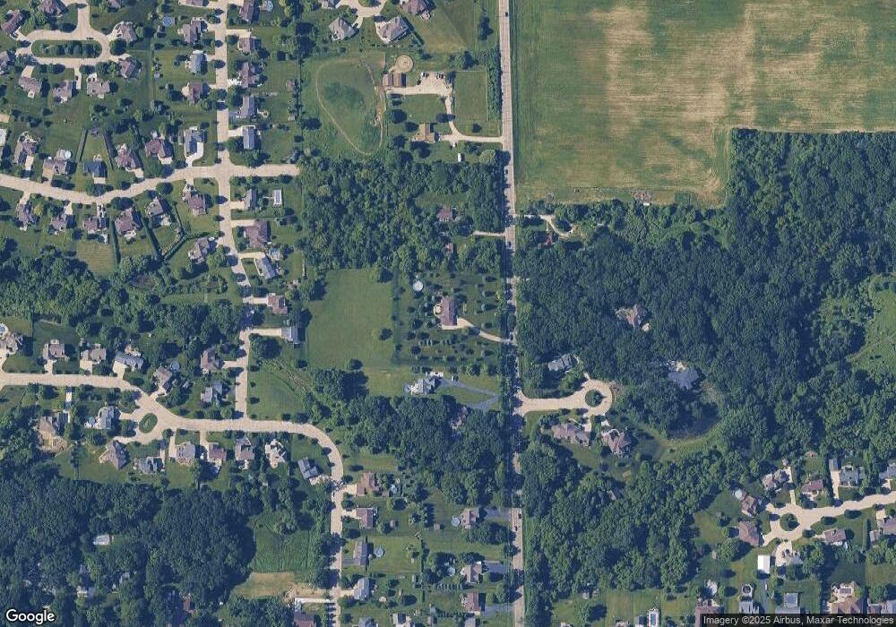
Map
Nearby Homes
- 10838 39th Ave
- Deerfield Plan at Cedar Ridge
- Essex Plan at Cedar Ridge
- Geneva Plan at Cedar Ridge
- Ellington Plan at Cedar Ridge
- Summerhill Plan at Cedar Ridge
- Harlow Plan at Cedar Ridge
- Norwood Plan at Cedar Ridge
- Andover Plan at Cedar Ridge
- Glenwood Plan at Cedar Ridge
- Berkshire Plan at Cedar Ridge
- Sinclair Plan at Cedar Ridge
- Waterford Plan at Cedar Ridge
- Ashford Plan at Cedar Ridge
- Brighton Plan at Cedar Ridge
- Windsor Plan at Cedar Ridge
- Danbury Plan at Cedar Ridge
- Hawthorne Plan at Cedar Ridge
- Brookhaven Plan at Cedar Ridge
- Weston Plan at Cedar Ridge
- 11400 39th Ave
- 11240 39th Ave
- 11239 39th Ave
- 11440 39th Ave
- 3882 114th Place
- 11337 42nd Ave
- 11351 42nd Ave
- 3877 114th Place
- 11208 39th Ave
- 11329 42nd Ave
- 11327 39th Ave
- 11471 41st Ave
- 11321 42nd Ave
- 11502 39th Ave
- 11442 41st Ave
- 11309 42nd Ave
- 11505 41st Ave
- 4137 114th St
- 11358 42nd Ave
- 11257 42nd Ave