11336 Rim Rock Trail Austin, TX 78737
Estimated Value: $1,183,312 - $2,421,000
4
Beds
3
Baths
2,916
Sq Ft
$587/Sq Ft
Est. Value
About This Home
This home is located at 11336 Rim Rock Trail, Austin, TX 78737 and is currently estimated at $1,710,828, approximately $586 per square foot. 11336 Rim Rock Trail is a home located in Travis County with nearby schools including Baldwin Elementary School, Gorzycki Middle School, and James Bowie High School.
Ownership History
Date
Name
Owned For
Owner Type
Purchase Details
Closed on
Dec 31, 1998
Sold by
Anderson Mons Allen and Anderson Krisstina L
Bought by
Hutton Daniel J and Hutton Dena Kendall
Current Estimated Value
Home Financials for this Owner
Home Financials are based on the most recent Mortgage that was taken out on this home.
Original Mortgage
$200,000
Outstanding Balance
$46,309
Interest Rate
6.74%
Mortgage Type
Purchase Money Mortgage
Estimated Equity
$1,664,519
Purchase Details
Closed on
Jul 31, 1995
Sold by
Anderson Betty F
Bought by
Anderson Mons Allen
Home Financials for this Owner
Home Financials are based on the most recent Mortgage that was taken out on this home.
Original Mortgage
$122,500
Interest Rate
9.12%
Mortgage Type
Purchase Money Mortgage
Create a Home Valuation Report for This Property
The Home Valuation Report is an in-depth analysis detailing your home's value as well as a comparison with similar homes in the area
Home Values in the Area
Average Home Value in this Area
Purchase History
| Date | Buyer | Sale Price | Title Company |
|---|---|---|---|
| Hutton Daniel J | -- | Alamo Title Company | |
| Anderson Mons Allen | -- | Austin Title Co |
Source: Public Records
Mortgage History
| Date | Status | Borrower | Loan Amount |
|---|---|---|---|
| Open | Hutton Daniel J | $200,000 | |
| Previous Owner | Anderson Mons Allen | $122,500 |
Source: Public Records
Tax History Compared to Growth
Tax History
| Year | Tax Paid | Tax Assessment Tax Assessment Total Assessment is a certain percentage of the fair market value that is determined by local assessors to be the total taxable value of land and additions on the property. | Land | Improvement |
|---|---|---|---|---|
| 2025 | $12,127 | $981,429 | -- | -- |
| 2023 | $9,858 | $811,098 | $0 | $0 |
| 2022 | $11,482 | $737,362 | $0 | $0 |
| 2021 | $11,400 | $670,329 | $344,354 | $364,206 |
| 2020 | $10,858 | $609,390 | $342,300 | $273,500 |
| 2018 | $9,414 | $503,628 | $342,300 | $161,328 |
| 2017 | $9,204 | $487,416 | $342,300 | $161,328 |
| 2016 | $8,367 | $443,105 | $342,300 | $161,328 |
| 2015 | $6,672 | $402,823 | $342,300 | $161,328 |
| 2014 | $6,672 | $366,203 | $0 | $0 |
Source: Public Records
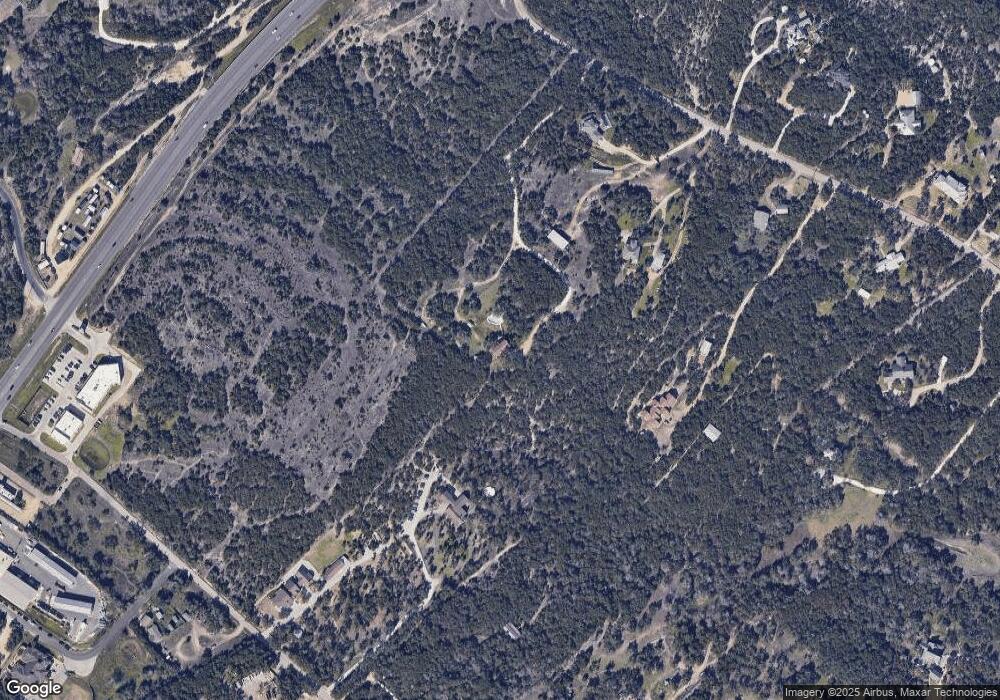
Map
Nearby Homes
- 11420 Rim Rock Trail
- TBD Highway 290
- 11205 Oak Branch Dr
- 519 Drury Ln
- 407 Stone View Trail
- 199 Limestone Trail
- 370 Ledge Stone Dr
- 394 Ledge Stone Dr
- 609 Stone View Trail
- 188 Rock Vista Run
- 12800 Old Baldy Trail
- 11601 Morningsun Dr
- 9513 Morninghill Dr
- 11809 Oak Branch Dr
- 33 Long Creek Rd
- 10133 Oliver Dr
- 134 Summer Square Dr
- 195 Autumn Wood Ln
- TBD Anglin Ln
- 9909 Oliver Dr
- 11344 Rim Rock Trail
- 11352 Rim Rock Trail
- 11340 Rim Rock Trail
- 11348 Rim Rock Trail Unit Trl
- 11348 Rim Rock Trail
- 11850 Rim Rock Trail
- 11390 Rim Rock Trail
- 11842 Rim Rock Trail
- 11840 Rim Rock Trail
- 0 U S 290
- 11366 Rim Rock Trail
- 11376 Rim Rock Trail
- 11886 Rim Rock Trail Unit 7
- 11886 Rim Rock Trail Unit 6
- 11886 Rim Rock Trail Unit 3
- 11886 Rim Rock Trail Unit 4
- 11886 Rim Rock Trail Unit 5
- 11814 Rim Rock Trail Unit B
- 11814 Rim Rock Trail
- TBD Rim Rock Trail