11337 Carrier Ave Unit Bldg-Unit Warren, MI 48089
Southeast Warren NeighborhoodEstimated Value: $207,760 - $225,000
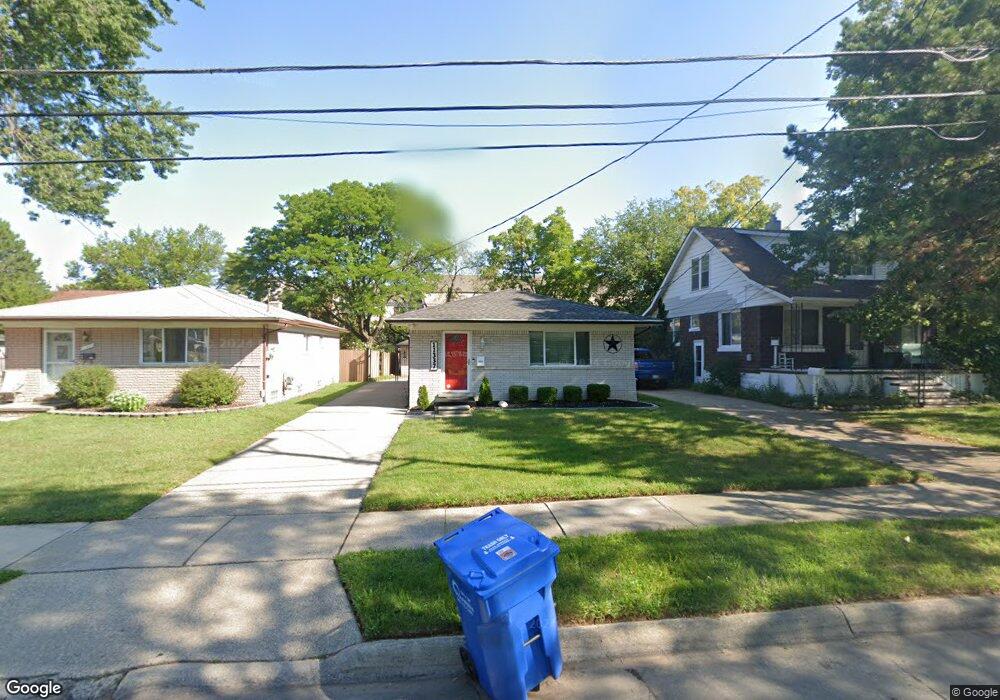
About This Home
This home is located at 11337 Carrier Ave Unit Bldg-Unit, Warren, MI 48089 and is currently estimated at $215,940, approximately $230 per square foot. 11337 Carrier Ave Unit Bldg-Unit is a home located in Macomb County with nearby schools including May V. Peck Elementary School, Wolfe Middle School, and Center Line High School.
Ownership History
We collect this data history from publicly available records. To have your information removed, we recommend requesting removal directly through your county’s website.
Purchase Details
Home Financials for this Owner
Home Financials are based on the most recent Mortgage that was taken out on this home.Purchase Details
Purchase Details
Purchase Details
Purchase Details
Home Financials for this Owner
Home Financials are based on the most recent Mortgage that was taken out on this home.Purchase Details
Purchase Details
Home Values in the Area
Average Home Value in this Area
Purchase History
We collect this data history from publicly available records. To have your information removed, we recommend requesting removal directly through your county’s website.
| Date | Buyer | Sale Price | Title Company |
|---|---|---|---|
| $121,000 | Sterling Title Agency | ||
| -- | Greater Macomb Title Agency | ||
| -- | None Available | ||
| -- | None Available | ||
| -- | None Available | ||
| $127,236 | None Available | ||
| $95,000 | -- |
Mortgage History
We collect this data history from publicly available records. To have your information removed, we recommend requesting removal directly through your county’s website.
| Date | Status | Borrower | Loan Amount |
|---|---|---|---|
| Open | $114,950 | ||
| Previous Owner | $60,000 |
Tax History
We collect this data history from publicly available records. To have your information removed, we recommend requesting removal directly through your county’s website.
| Year | Tax Paid | Tax Assessment Tax Assessment Total Assessment is a certain percentage of the fair market value that is determined by local assessors to be the total taxable value of land and additions on the property. | Land | Improvement |
|---|---|---|---|---|
| 2025 | $4,212 | $81,700 | $0 | $0 |
| 2024 | $41 | $79,820 | $0 | $0 |
| 2023 | $4,010 | $75,310 | $0 | $0 |
| 2022 | $3,875 | $69,050 | $0 | $0 |
| 2021 | $3,942 | $64,700 | $0 | $0 |
| 2020 | $3,843 | $61,970 | $0 | $0 |
| 2019 | $3,771 | $56,840 | $0 | $0 |
| 2018 | $2,866 | $46,010 | $0 | $0 |
| 2017 | $2,621 | $40,870 | $4,310 | $36,560 |
| 2016 | $2,681 | $40,870 | $0 | $0 |
| 2015 | -- | $38,630 | $0 | $0 |
| 2012 | -- | $35,430 | $0 | $0 |
Map
- 26321 Burg Rd
- 11205 Lillian Ave
- 26676 Richard Dr
- 26615 Richard Dr
- 26670 Potomac Ct
- 11214 Mae Ave
- 11808 Mckinley Dr
- 11748 Carney St
- 8565 Potomac
- 11657 Engleman Rd
- 11844 Harold St
- 27260 Norma Dr
- 27480 Shackett Ave
- 8334 Mckinley
- 27474 Norma Dr
- 27524 Gail Dr
- 8330 Sunburst
- 8442 Central
- 27769 Gilbert Dr
- 27828 Santa Ana Dr
- 26510 Burg Rd
- 26520 Burg Rd
- 11329 Carrier Ave
- 26416 Burg Rd
- 11337 Carrier Ave
- 26523 Burg Rd
- 11316 Carrier Ave
- 11345 Carrier Ave
- 26435 Burg Rd
- 26445 Burg Rd
- 26404 Burg Rd
- 11328 Carrier Ave
- 26375 Burg Rd
- 26535 Burg Rd
- 26382 Burg Rd
- 11340 Carrier Ave
- 11335 Lois Ct
- 11369 Carrier Ave
- 11352 Carrier Ave
- 26367 Burg Rd
Ask me questions while you tour the home.