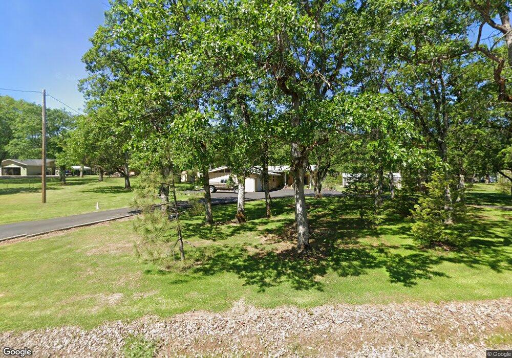
11339 Michael Rd Central Point, OR 97502
Estimated Value: $390,258 - $524,000
3
Beds
1
Bath
1,387
Sq Ft
$324/Sq Ft
Est. Value
About This Home
This home is located at 11339 Michael Rd, Central Point, OR 97502 and is currently estimated at $449,086, approximately $323 per square foot. 11339 Michael Rd is a home located in Jackson County with nearby schools including Sams Valley Elementary School, Hanby Middle School, and Crater High School.
Ownership History
Date
Name
Owned For
Owner Type
Purchase Details
Closed on
Apr 30, 2010
Sold by
Willets William D and Willets Elizabeth A
Bought by
Willets William D and Willets Elizabeth A
Current Estimated Value
Home Financials for this Owner
Home Financials are based on the most recent Mortgage that was taken out on this home.
Original Mortgage
$63,000
Interest Rate
4.94%
Mortgage Type
New Conventional
Create a Home Valuation Report for This Property
The Home Valuation Report is an in-depth analysis detailing your home's value as well as a comparison with similar homes in the area
Purchase History
| Date | Buyer | Sale Price | Title Company |
|---|---|---|---|
| Willets William D | -- | Accommodation | |
| Willets William D | -- | Ticor Title |
Source: Public Records
Mortgage History
| Date | Status | Borrower | Loan Amount |
|---|---|---|---|
| Closed | Willets William D | $63,000 |
Source: Public Records
Tax History
| Year | Tax Paid | Tax Assessment Tax Assessment Total Assessment is a certain percentage of the fair market value that is determined by local assessors to be the total taxable value of land and additions on the property. | Land | Improvement |
|---|---|---|---|---|
| 2026 | $2,892 | $236,290 | -- | -- |
| 2025 | $2,816 | $229,410 | $111,020 | $118,390 |
| 2024 | $2,816 | $222,730 | $106,460 | $116,270 |
| 2023 | $2,725 | $216,250 | $103,370 | $112,880 |
| 2022 | $2,602 | $216,250 | $103,370 | $112,880 |
| 2021 | $2,529 | $209,960 | $100,360 | $109,600 |
| 2020 | $2,455 | $203,850 | $97,430 | $106,420 |
| 2019 | $2,399 | $192,160 | $91,840 | $100,320 |
| 2018 | $2,324 | $186,570 | $89,170 | $97,400 |
| 2017 | $2,269 | $186,570 | $89,170 | $97,400 |
| 2016 | $2,203 | $175,870 | $84,040 | $91,830 |
| 2015 | $2,122 | $175,870 | $84,040 | $91,830 |
| 2014 | $2,071 | $165,780 | $79,220 | $86,560 |
Source: Public Records
Map
Nearby Homes
- 11220 Duggan Rd
- 10695 Kildee Ave
- 10695 Killdee Ave
- 0 Perry Rd
- 13290 Table Rock Rd
- 395 Robleda Dr
- 0 Duggan Rd Unit 220198974
- 13007 Perry Rd
- 377 Pelton Ln
- 11322 Modoc Rd
- 12940 Highway 234
- 12214 Modoc Rd
- 12950 Highway 234
- 12240 Modoc Rd Unit A
- 12240 Modoc Rd Unit B
- 12240 Modoc Rd Unit C
- 0 Winnetka Rd
- 13327 Highway 234
- 4413 Merita Terrace
- 7505 Blackwell Rd
- 11285 Michael Rd
- 11340 Michael Rd
- 11340 Dennis Rd
- 11396 Michael Rd
- 11284 Michael Rd
- 3152 Tresham Ln
- 11396 Dennis Rd
- 3298 McMartin Rd
- 3298 McMartin Rd
- 11455 Michael Rd
- 11454 Michael Rd
- 11339 Dennis Rd
- 3142 McMartin Rd
- 11454 Dennis Rd
- 11395 Dennis Rd
- 3277 McMartin Rd
- 3295 McMartin Ln
- 3295 McMartin Rd
- 3277 McMartin Rd
- 11453 Dennis Rd
Your Personal Tour Guide
Ask me questions while you tour the home.