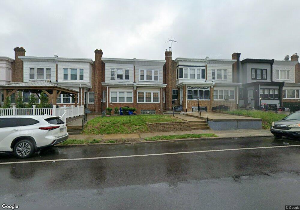
1134 Bridge St Philadelphia, PA 19124
Frankford NeighborhoodEstimated Value: $189,000 - $234,000
3
Beds
1
Bath
1,354
Sq Ft
$156/Sq Ft
Est. Value
About This Home
This home is located at 1134 Bridge St, Philadelphia, PA 19124 and is currently estimated at $211,812, approximately $156 per square foot. 1134 Bridge St is a home located in Philadelphia County with nearby schools including Frankford High School, The Philadelphia Charter School for the Arts & Sciences, and Mastery Schools Smedley Elementary.
Ownership History
Date
Name
Owned For
Owner Type
Purchase Details
Closed on
Sep 15, 2003
Sold by
Mcgarrity Dorothea
Bought by
Garland Naomi D
Current Estimated Value
Home Financials for this Owner
Home Financials are based on the most recent Mortgage that was taken out on this home.
Original Mortgage
$65,366
Outstanding Balance
$30,135
Interest Rate
6.15%
Mortgage Type
FHA
Estimated Equity
$181,677
Purchase Details
Closed on
Jun 17, 2003
Sold by
Mcgarrity Francis L and Mcgarrity Dorothea
Bought by
Mcgarrity Dorothea
Create a Home Valuation Report for This Property
The Home Valuation Report is an in-depth analysis detailing your home's value as well as a comparison with similar homes in the area
Home Values in the Area
Average Home Value in this Area
Purchase History
| Date | Buyer | Sale Price | Title Company |
|---|---|---|---|
| Garland Naomi D | $65,900 | -- | |
| Mcgarrity Dorothea | -- | -- |
Source: Public Records
Mortgage History
| Date | Status | Borrower | Loan Amount |
|---|---|---|---|
| Open | Garland Naomi D | $65,366 |
Source: Public Records
Tax History Compared to Growth
Tax History
| Year | Tax Paid | Tax Assessment Tax Assessment Total Assessment is a certain percentage of the fair market value that is determined by local assessors to be the total taxable value of land and additions on the property. | Land | Improvement |
|---|---|---|---|---|
| 2025 | $2,087 | $182,600 | $36,520 | $146,080 |
| 2024 | $2,087 | $182,600 | $36,520 | $146,080 |
| 2023 | $2,087 | $149,100 | $29,820 | $119,280 |
| 2022 | $925 | $104,100 | $29,820 | $74,280 |
| 2021 | $1,555 | $0 | $0 | $0 |
| 2020 | $1,555 | $0 | $0 | $0 |
| 2019 | $1,492 | $0 | $0 | $0 |
| 2018 | $1,391 | $0 | $0 | $0 |
| 2017 | $1,391 | $0 | $0 | $0 |
| 2016 | $971 | $0 | $0 | $0 |
| 2015 | $930 | $0 | $0 | $0 |
| 2014 | -- | $99,400 | $20,632 | $78,768 |
| 2012 | -- | $13,344 | $1,872 | $11,472 |
Source: Public Records
Map
Nearby Homes
- 1137 Bridge St
- 1150 Bridge St
- 5222 Horrocks St
- 5412 Large St
- 1209 E Sanger St
- 5347 Sylvester St
- 1244 E Sanger St
- 1218 Pratt St
- 1220 Pratt St
- 1528 E Cheltenham Ave
- 1103 Dyre St
- 5304 Akron St
- 5403 Oakland St
- 1431 Rosalie St
- 1408 Alcott St
- 5345 Akron St
- 5118 Oakland St
- 5422 Akron St
- 5300 Saul St
- 1206 Dyre St