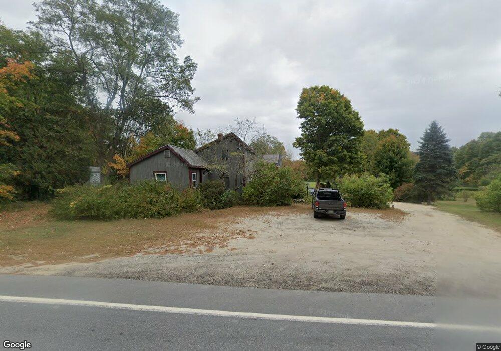
1134 Hallowell Rd Durham, ME 04222
Estimated Value: $446,000 - $596,000
3
Beds
1
Bath
1,908
Sq Ft
$273/Sq Ft
Est. Value
About This Home
This home is located at 1134 Hallowell Rd, Durham, ME 04222 and is currently estimated at $520,137, approximately $272 per square foot. 1134 Hallowell Rd is a home located in Androscoggin County with nearby schools including Durham Community School and Freeport High School.
Ownership History
Date
Name
Owned For
Owner Type
Purchase Details
Closed on
Aug 18, 2022
Sold by
Hall Christian W
Bought by
Hall Hilary C and Hall Christian W
Current Estimated Value
Home Financials for this Owner
Home Financials are based on the most recent Mortgage that was taken out on this home.
Original Mortgage
$296,459
Outstanding Balance
$282,155
Interest Rate
5.3%
Mortgage Type
Purchase Money Mortgage
Estimated Equity
$237,982
Purchase Details
Closed on
Jan 23, 2015
Sold by
Halls Gravel & Dev Corp
Bought by
Hall Christian W
Create a Home Valuation Report for This Property
The Home Valuation Report is an in-depth analysis detailing your home's value as well as a comparison with similar homes in the area
Home Values in the Area
Average Home Value in this Area
Purchase History
| Date | Buyer | Sale Price | Title Company |
|---|---|---|---|
| Hall Hilary C | -- | None Available | |
| Hall Christian W | -- | -- |
Source: Public Records
Mortgage History
| Date | Status | Borrower | Loan Amount |
|---|---|---|---|
| Open | Hall Hilary C | $296,459 |
Source: Public Records
Tax History Compared to Growth
Tax History
| Year | Tax Paid | Tax Assessment Tax Assessment Total Assessment is a certain percentage of the fair market value that is determined by local assessors to be the total taxable value of land and additions on the property. | Land | Improvement |
|---|---|---|---|---|
| 2024 | $5,625 | $258,600 | $70,700 | $187,900 |
| 2023 | $4,663 | $218,400 | $70,700 | $147,700 |
| 2022 | $2,910 | $140,600 | $70,700 | $69,900 |
| 2021 | $2,910 | $140,600 | $70,700 | $69,900 |
| 2020 | $2,847 | $140,600 | $70,700 | $69,900 |
| 2019 | $2,847 | $140,600 | $70,700 | $69,900 |
| 2018 | $2,770 | $140,600 | $70,700 | $69,900 |
| 2016 | $2,643 | $140,600 | $70,700 | $69,900 |
| 2015 | $2,446 | $140,600 | $70,700 | $69,900 |
| 2014 | $2,219 | $133,300 | $63,400 | $69,900 |
| 2013 | $1,993 | $133,300 | $63,400 | $69,900 |
Source: Public Records
Map
Nearby Homes
- 55 Sand Hill Dr
- 006-114 Old Brunswick Rd
- 16 Harlie Woods Rd
- 1 Mattie Ln
- 1032 Ferry Rd
- 850 Lawrence Rd
- 12 Peter Robin Way
- 45 Ruby Ln
- 32 Grant Rd
- 6 Poland Rd
- 42A Wardtown Rd
- 137 Durham Rd
- 28 Nyasa Ln
- 0 Nyasa Ln
- 4 Harper's Trail
- 143 Bragdon Rd
- 890 Elmwood Rd
- 284 Allen Rd
- 43 Rose Douglas Ln
- Lot 9 Little Fawn Ln
- 1132 Hallowell Rd
- 1130 Hallowell Rd
- 1128 Hallowell Rd
- 1146 Hallowell Rd
- 00 Hallowell Rd
- 1141 Hallowell Rd
- 281 Rabbit Rd
- 1 Runaround Pond
- 3 Runaround Pond Rd
- 5 Runaround Pond
- 7 Runaround Pond Rd
- 275 Rabbit Rd
- 2 Runaround Pond Rd
- 0 Runaround Pond
- 4 Runaround Pond Rd
- 6 Runaround Pond
- 17 Runaround Pond Rd
- 274 Rabbit Rd
- 274 Rabbit Rd
- 23 Runaround Pond Rd