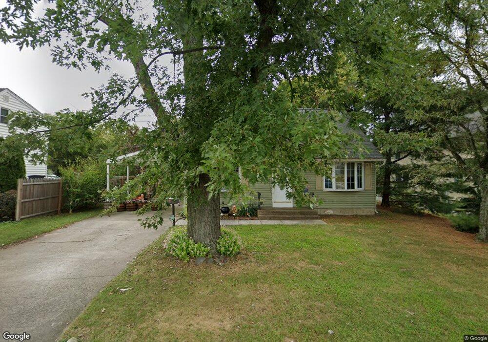
1134 Mantua Pike Mantua, NJ 08051
Deptford Township NeighborhoodEstimated Value: $257,135 - $341,000
--
Bed
--
Bath
1,382
Sq Ft
$212/Sq Ft
Est. Value
About This Home
This home is located at 1134 Mantua Pike, Mantua, NJ 08051 and is currently estimated at $293,284, approximately $212 per square foot. 1134 Mantua Pike is a home located in Gloucester County with nearby schools including Deptford Township High School, St Margaret Regional School, and Holy Angels Catholic School.
Ownership History
Date
Name
Owned For
Owner Type
Purchase Details
Closed on
Aug 25, 2022
Sold by
Curran Erin J
Bought by
Curran Erin Joan and Curran Sean
Current Estimated Value
Purchase Details
Closed on
Oct 29, 2010
Sold by
Schaefer Diane
Bought by
Curran Erin J
Home Financials for this Owner
Home Financials are based on the most recent Mortgage that was taken out on this home.
Original Mortgage
$167,741
Interest Rate
4.5%
Mortgage Type
FHA
Create a Home Valuation Report for This Property
The Home Valuation Report is an in-depth analysis detailing your home's value as well as a comparison with similar homes in the area
Home Values in the Area
Average Home Value in this Area
Purchase History
| Date | Buyer | Sale Price | Title Company |
|---|---|---|---|
| Curran Erin Joan | -- | -- | |
| Curran Erin J | $170,000 | Group 21 Title Agency |
Source: Public Records
Mortgage History
| Date | Status | Borrower | Loan Amount |
|---|---|---|---|
| Previous Owner | Curran Erin J | $167,741 |
Source: Public Records
Tax History Compared to Growth
Tax History
| Year | Tax Paid | Tax Assessment Tax Assessment Total Assessment is a certain percentage of the fair market value that is determined by local assessors to be the total taxable value of land and additions on the property. | Land | Improvement |
|---|---|---|---|---|
| 2025 | $5,144 | $143,500 | $34,300 | $109,200 |
| 2024 | $4,979 | $143,500 | $34,300 | $109,200 |
| 2023 | $4,979 | $143,500 | $34,300 | $109,200 |
| 2022 | $4,944 | $143,500 | $34,300 | $109,200 |
| 2021 | $4,873 | $143,500 | $34,300 | $109,200 |
| 2020 | $4,817 | $143,500 | $34,300 | $109,200 |
| 2019 | $4,725 | $143,500 | $34,300 | $109,200 |
| 2018 | $4,619 | $143,500 | $34,300 | $109,200 |
| 2017 | $4,496 | $143,500 | $34,300 | $109,200 |
| 2016 | $4,404 | $143,500 | $34,300 | $109,200 |
| 2015 | $4,268 | $143,500 | $34,300 | $109,200 |
| 2014 | $4,157 | $143,500 | $34,300 | $109,200 |
Source: Public Records
Map
Nearby Homes
- 111 Cove Rd
- 125 Ivy Ln
- 748 Dartmouth Dr
- 213 Barclay Ct
- 7 Manchester Ct
- 100 Buddy Powell Ln
- 807 Saint Regis Ct
- 463 Durham Ct
- 114 Buddy Powell Ln
- 411 Durham Ct Unit 411
- 75 Hickory Ave
- 827 Saint Regis Ct
- 629 Vassar Rd
- 313 Ogden Station Rd
- 315 Ogden Station Rd
- 916 Georgetown Rd
- 711 Howard Ave
- 751 Garrison Ct
- 1121 Tristram Cir Unit 1
- 1134 Tristram Cir Unit 4