1134 N Nichols Ferry Trail South Boston, VA 24592
Estimated Value: $277,981
--
Bed
--
Bath
--
Sq Ft
109.39
Acres
About This Home
This home is located at 1134 N Nichols Ferry Trail, South Boston, VA 24592 and is currently estimated at $277,981. 1134 N Nichols Ferry Trail is a home located in Halifax County with nearby schools including South Boston Elementary School, Halifax County Middle School, and Halifax County High School.
Ownership History
Date
Name
Owned For
Owner Type
Purchase Details
Closed on
Oct 30, 2012
Sold by
Tri State Lands Llc
Bought by
Derstine Bevin E
Current Estimated Value
Home Financials for this Owner
Home Financials are based on the most recent Mortgage that was taken out on this home.
Original Mortgage
$112,000
Outstanding Balance
$78,014
Interest Rate
3.56%
Mortgage Type
New Conventional
Estimated Equity
$199,967
Create a Home Valuation Report for This Property
The Home Valuation Report is an in-depth analysis detailing your home's value as well as a comparison with similar homes in the area
Home Values in the Area
Average Home Value in this Area
Purchase History
| Date | Buyer | Sale Price | Title Company |
|---|---|---|---|
| Derstine Bevin E | $141,836 | -- |
Source: Public Records
Mortgage History
| Date | Status | Borrower | Loan Amount |
|---|---|---|---|
| Open | Derstine Bevin E | $112,000 |
Source: Public Records
Tax History Compared to Growth
Tax History
| Year | Tax Paid | Tax Assessment Tax Assessment Total Assessment is a certain percentage of the fair market value that is determined by local assessors to be the total taxable value of land and additions on the property. | Land | Improvement |
|---|---|---|---|---|
| 2025 | $1,131 | $226,210 | $138,068 | $88,142 |
| 2024 | $1,131 | $226,210 | $138,068 | $88,142 |
| 2023 | $1,076 | $215,210 | $138,068 | $77,142 |
| 2022 | $1,072 | $214,310 | $138,068 | $76,242 |
| 2021 | $946 | $189,282 | $138,068 | $51,214 |
| 2020 | $946 | $189,282 | $138,068 | $51,214 |
| 2019 | $839 | $167,795 | $116,390 | $51,405 |
| 2018 | $805 | $167,795 | $116,390 | $51,405 |
| 2016 | $810 | $168,804 | $116,390 | $52,414 |
| 2015 | $810 | $227,021 | $161,746 | $65,275 |
| 2014 | $1,044 | $227,021 | $161,746 | $65,275 |
| 2013 | $689 | $153,146 | $153,146 | $0 |
Source: Public Records
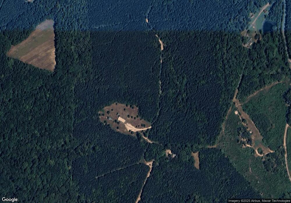
Map
Nearby Homes
- 0 Wolf Trap Rd
- 00 Good Trail
- 1194 Wolf Trap Rd
- 00 Boyds Ferry Trail
- 1039 Azalea Ln
- 00 Alphonse Dairy Rd
- 1058 James D Hagood Hwy
- 4507 Brentwood Dr
- 509 Bellwood Ln
- 302 Dunncroft Ct
- 1002 John Randolph Blvd
- 618 Cedar Ave
- 9043 Bill Tuck Hwy
- 8 LOTS Vaughan St
- 1-16 Vaughan St
- 0 S Terry's Bridge Rd
- 2100 Rivoli St
- 104 Elizabeth Ct
- 0 Parker Ave
- 1031 Macdonald Rd
- 1160 N Nichols Ferry Trail
- 1210 N Nichols Ferry Trail
- 1206 N Nichols Ferry Trail
- 1130 N Nichols Ferry Trail
- 1170 N Nichols Ferry Trail
- 1214 N Nichols Ferry Trail
- 0 N Nichols Ferry Rd
- 1171 N Nichols Ferry Trail
- 1056 Conner Trail
- 1061 Walker Trail
- 1046 N Nichols Ferry Trail
- 1055 Conner Trail
- 1063 Walker Trail
- 1018 N Nichols Ferry Trail
- 3110 Wolf Trap Rd
- 3121 Wolf Trap Rd
- 3111 Wolf Trap Rd
- 1060 Walker Trail
- 3075 Wolf Trap Rd