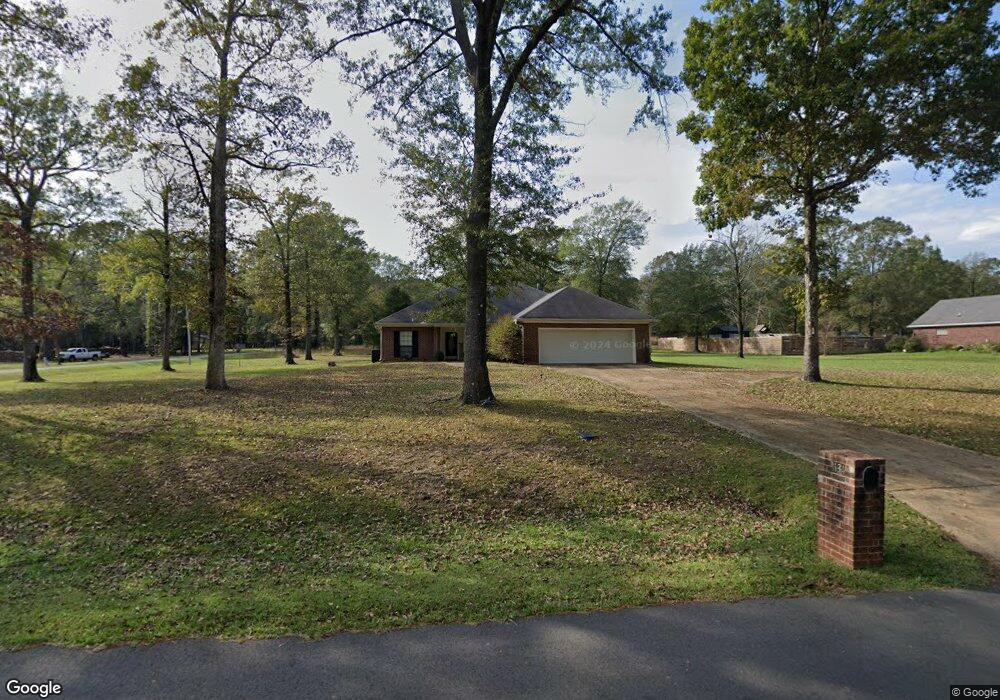
1134 Percy Burns Rd Springhill, LA 71075
Estimated Value: $156,000 - $197,787
--
Bed
--
Bath
--
Sq Ft
0.97
Acres
About This Home
This home is located at 1134 Percy Burns Rd, Springhill, LA 71075 and is currently estimated at $179,447. 1134 Percy Burns Rd is a home located in Webster Parish with nearby schools including Browning Elementary School, Brown Upper Elementary School, and North Webster High School.
Ownership History
Date
Name
Owned For
Owner Type
Purchase Details
Closed on
Jul 17, 2013
Sold by
Johnson Earnest Gene and Johnson Linda Gail
Bought by
Wesson Jimmie Ann
Current Estimated Value
Home Financials for this Owner
Home Financials are based on the most recent Mortgage that was taken out on this home.
Original Mortgage
$110,400
Outstanding Balance
$24,917
Interest Rate
3.07%
Mortgage Type
New Conventional
Estimated Equity
$154,530
Purchase Details
Closed on
May 15, 2013
Sold by
Bowers Larry David
Bought by
Webster Parish Police Jury
Purchase Details
Closed on
Mar 15, 2006
Sold by
Pace Contracting Llc
Bought by
Cook Richard G and Cook Jill A
Home Financials for this Owner
Home Financials are based on the most recent Mortgage that was taken out on this home.
Original Mortgage
$175,900
Interest Rate
8%
Mortgage Type
Seller Take Back
Create a Home Valuation Report for This Property
The Home Valuation Report is an in-depth analysis detailing your home's value as well as a comparison with similar homes in the area
Home Values in the Area
Average Home Value in this Area
Purchase History
| Date | Buyer | Sale Price | Title Company |
|---|---|---|---|
| Wesson Jimmie Ann | $138,000 | First Commerce Title Inc | |
| Webster Parish Police Jury | $2,508 | None Available | |
| Cook Richard G | $185,900 | None Available |
Source: Public Records
Mortgage History
| Date | Status | Borrower | Loan Amount |
|---|---|---|---|
| Open | Wesson Jimmie Ann | $110,400 | |
| Previous Owner | Cook Richard G | $175,900 |
Source: Public Records
Tax History Compared to Growth
Tax History
| Year | Tax Paid | Tax Assessment Tax Assessment Total Assessment is a certain percentage of the fair market value that is determined by local assessors to be the total taxable value of land and additions on the property. | Land | Improvement |
|---|---|---|---|---|
| 2024 | $1,132 | $16,750 | $1,100 | $15,650 |
| 2023 | $858 | $15,230 | $1,000 | $14,230 |
| 2022 | $1,699 | $15,230 | $1,000 | $14,230 |
| 2021 | $1,698 | $15,230 | $1,000 | $14,230 |
| 2020 | $1,730 | $15,230 | $1,000 | $14,230 |
| 2019 | $1,701 | $15,230 | $1,000 | $14,230 |
| 2018 | $1,752 | $15,230 | $1,000 | $14,230 |
| 2017 | $1,741 | $15,230 | $1,000 | $14,230 |
| 2016 | $1,848 | $15,230 | $1,000 | $14,230 |
| 2010 | $2,135 | $18,960 | $1,000 | $17,960 |
Source: Public Records
Map
Nearby Homes
- 894 Percy Burns Rd
- 203 Airport Loop
- 900 MacHen Dr
- 405 8th St SE
- 107 6th St NE
- 0 Spring Branch Rd
- 603 7th St SE
- 403 N Park Dr
- 404 4th St SE
- 206 North St
- 400 3rd St SE
- 0 June Anthony Dr
- 409 Elm St
- 0 Elm St
- 0 SW 1st St Unit 21062350
- 201 4th St NW
- 206 Oak Dr
- 311 N Arkansas St
- 313 N Arkansas St
- 315 N Arkansas St
- 1097 Percy Burns Rd
- 1154 Percy Burns Rd
- 152 Thurman Rd
- 1164 Percy Burns Rd
- 109 Lumberjack Trail
- 165 Thurman Rd
- 107 Dogwood Dr
- 187 Thurman Rd
- 105 Lumberjack Trail
- 110 Dogwood Dr
- 1035 Percy Burns Rd
- 105 Dogwood Dr
- 104 Lumberjack Trail
- 103 Dogwood Dr
- 101 Lumberjack Trail
- 106 Dogwood Dr
- 1014 Percy Burns Rd
- 1144 Percy Burns Rd
- 1559 MacHen Dr
- 995 Percy Burns Rd