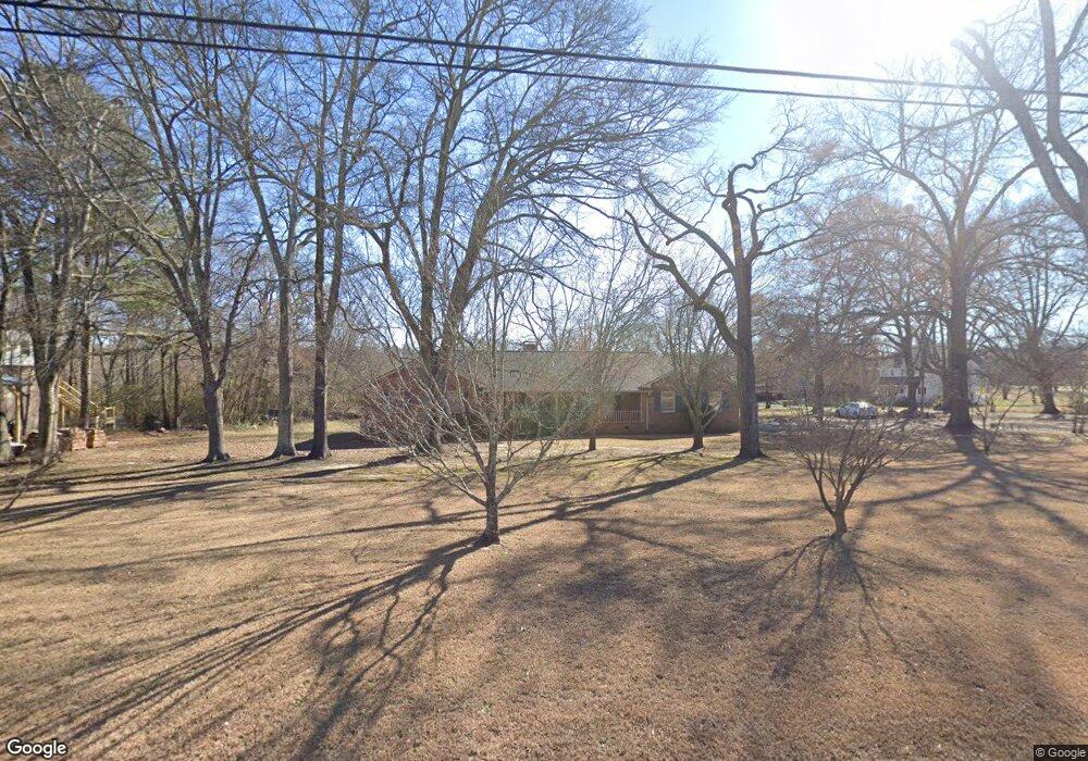
1134 S Railroad Ave Carlton, GA 30627
Estimated Value: $279,000 - $394,000
--
Bed
2
Baths
2,554
Sq Ft
$125/Sq Ft
Est. Value
About This Home
This home is located at 1134 S Railroad Ave, Carlton, GA 30627 and is currently estimated at $320,500, approximately $125 per square foot. 1134 S Railroad Ave is a home located in Madison County with nearby schools including Madison County High School.
Ownership History
Date
Name
Owned For
Owner Type
Purchase Details
Closed on
Jul 28, 2015
Sold by
Brooks Jane Smith
Bought by
Bird Joseph Brent
Current Estimated Value
Home Financials for this Owner
Home Financials are based on the most recent Mortgage that was taken out on this home.
Original Mortgage
$80,750
Outstanding Balance
$30,616
Interest Rate
4.11%
Mortgage Type
New Conventional
Estimated Equity
$289,884
Purchase Details
Closed on
Oct 21, 2002
Sold by
Brooks Ronald
Bought by
Brooks Ronald and Brooks Jane
Purchase Details
Closed on
Jan 1, 1961
Bought by
Brooks Ronald
Create a Home Valuation Report for This Property
The Home Valuation Report is an in-depth analysis detailing your home's value as well as a comparison with similar homes in the area
Home Values in the Area
Average Home Value in this Area
Purchase History
| Date | Buyer | Sale Price | Title Company |
|---|---|---|---|
| Bird Joseph Brent | -- | -- | |
| Bird Joseph Brent | $85,000 | -- | |
| Brooks Ronald | -- | -- | |
| Brooks Ronald | -- | -- |
Source: Public Records
Mortgage History
| Date | Status | Borrower | Loan Amount |
|---|---|---|---|
| Open | Bird Joseph Brent | $80,750 | |
| Closed | Bird Joseph Brent | $80,750 |
Source: Public Records
Tax History Compared to Growth
Tax History
| Year | Tax Paid | Tax Assessment Tax Assessment Total Assessment is a certain percentage of the fair market value that is determined by local assessors to be the total taxable value of land and additions on the property. | Land | Improvement |
|---|---|---|---|---|
| 2025 | $3,346 | $122,318 | $9,600 | $112,718 |
| 2024 | $3,327 | $118,592 | $9,600 | $108,992 |
| 2023 | $3,736 | $109,540 | $8,000 | $101,540 |
| 2022 | $2,736 | $94,482 | $5,500 | $88,982 |
| 2021 | $2,114 | $63,879 | $5,500 | $58,379 |
| 2020 | $2,097 | $63,079 | $4,700 | $58,379 |
| 2019 | $2,352 | $67,914 | $5,170 | $62,744 |
| 2018 | $2,276 | $65,520 | $4,730 | $60,790 |
| 2017 | $1,846 | $57,376 | $4,000 | $53,376 |
| 2016 | $1,099 | $47,694 | $3,636 | $44,058 |
| 2015 | $1,422 | $47,366 | $3,308 | $44,058 |
| 2014 | $1,493 | $49,640 | $3,308 | $46,332 |
| 2013 | -- | $49,640 | $3,308 | $46,332 |
Source: Public Records
Map
Nearby Homes
- 670 S Railroad Ave
- 6367 Highway 72 E
- 6476 Georgia 72
- 724 Bertha Willis Rd
- 88 S Railroad Ave
- 667 Paoli Rd
- 376 Paoli Rd
- 3614 Georgia 72
- 0 Broad River Rd Unit 10650042
- 600 Piney Grove Rd
- 00 River Rd
- 0 Berkley Rd Unit 10545423
- 0 River Rd Unit 10639917
- 730 Osley Mill Rd
- 474 Watson Mill
- 490 Watson Mill
- 5 Watson Mill
- 4 Watson Mill
- 6 Watson Mill
- 1163 Nickville Rd
- 1182 S Railroad Ave
- Lot 5,6& Arnold Caldwell Rd
- 1178 S Railroad Ave
- 53 Sixth St
- 1244 S Railroad Ave
- 1200 S Railroad Ave
- 48 Sixth St
- 63 S Seventh St
- 7th 7th St
- 1094 S Railroad Ave
- 0 S Railroad Ave Unit CM895952
- 0 S Railroad Ave Unit CM835898
- 0 S Railroad Ave Unit CM250204
- 0 S Railroad Ave Unit 1021712
- 5665 Hwy 72e
- 26 Church St
- 115 Sixth St
- 115 Quaggin Dr
- 365 Getaway Ln
- 28 Church St