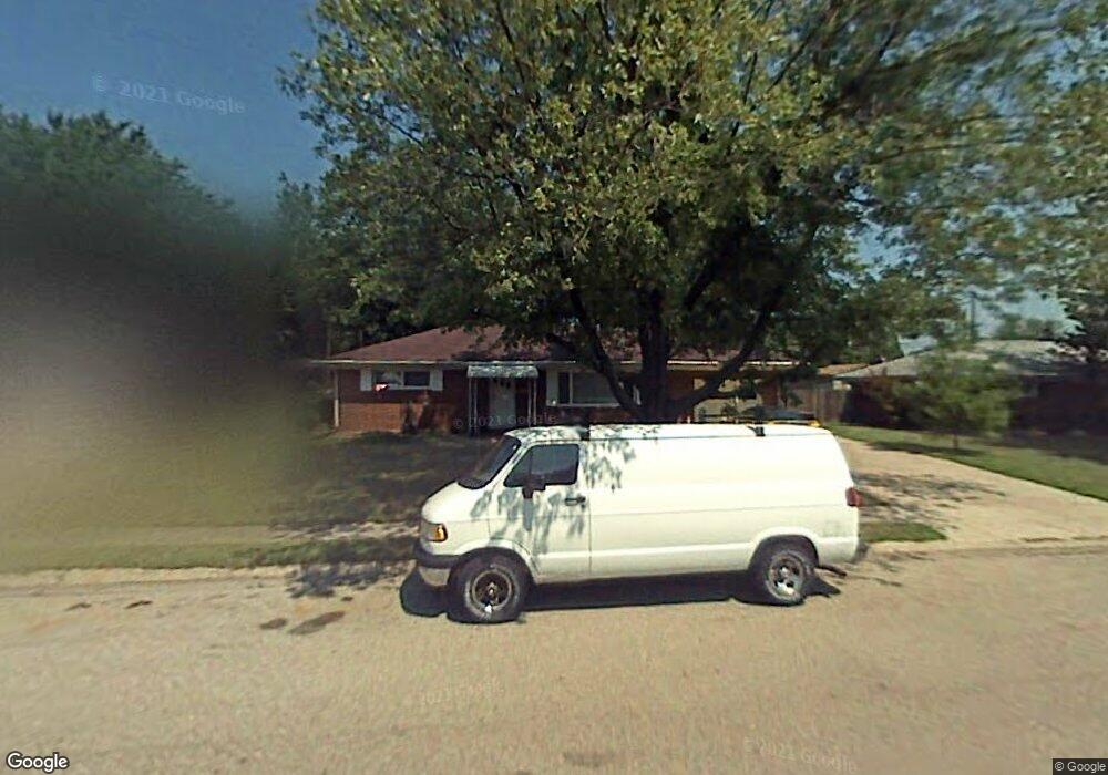
1134 Torrence Dr Springfield, OH 45503
Estimated Value: $193,571 - $210,000
3
Beds
1
Bath
1,075
Sq Ft
$186/Sq Ft
Est. Value
About This Home
This home is located at 1134 Torrence Dr, Springfield, OH 45503 and is currently estimated at $200,393, approximately $186 per square foot. 1134 Torrence Dr is a home located in Clark County with nearby schools including Kenton Elementary School, Roosevelt Middle School, and Springfield High School.
Ownership History
Date
Name
Owned For
Owner Type
Purchase Details
Closed on
Oct 14, 2005
Sold by
Oldham Judy A
Bought by
Peters Donald R and Peters Cindy S
Current Estimated Value
Home Financials for this Owner
Home Financials are based on the most recent Mortgage that was taken out on this home.
Original Mortgage
$90,000
Outstanding Balance
$49,857
Interest Rate
6.62%
Mortgage Type
Fannie Mae Freddie Mac
Estimated Equity
$150,536
Purchase Details
Closed on
Sep 7, 1990
Sold by
Pyles Jesse E and Pyles Juanita
Bought by
Oldham Judy A
Create a Home Valuation Report for This Property
The Home Valuation Report is an in-depth analysis detailing your home's value as well as a comparison with similar homes in the area
Home Values in the Area
Average Home Value in this Area
Purchase History
| Date | Buyer | Sale Price | Title Company |
|---|---|---|---|
| Peters Donald R | $112,500 | -- | |
| Oldham Judy A | $71,000 | -- |
Source: Public Records
Mortgage History
| Date | Status | Borrower | Loan Amount |
|---|---|---|---|
| Open | Peters Donald R | $90,000 |
Source: Public Records
Tax History
| Year | Tax Paid | Tax Assessment Tax Assessment Total Assessment is a certain percentage of the fair market value that is determined by local assessors to be the total taxable value of land and additions on the property. | Land | Improvement |
|---|---|---|---|---|
| 2025 | $1,833 | $63,050 | $11,050 | $52,000 |
| 2024 | $1,815 | $46,840 | $10,110 | $36,730 |
| 2023 | $1,815 | $46,840 | $10,110 | $36,730 |
| 2022 | $1,880 | $46,840 | $10,110 | $36,730 |
| 2021 | $1,804 | $42,430 | $7,900 | $34,530 |
| 2020 | $1,808 | $42,430 | $7,900 | $34,530 |
| 2019 | $1,813 | $42,430 | $7,900 | $34,530 |
| 2018 | $1,661 | $38,450 | $8,690 | $29,760 |
| 2017 | $1,660 | $39,568 | $8,687 | $30,881 |
| 2016 | $1,662 | $39,568 | $8,687 | $30,881 |
| 2015 | $1,579 | $36,481 | $7,896 | $28,585 |
| 2014 | $1,573 | $36,481 | $7,896 | $28,585 |
| 2013 | $1,556 | $36,481 | $7,896 | $28,585 |
Source: Public Records
Map
Nearby Homes
- 2553 Derr Rd
- 3124 El Camino Dr
- 3135 Imperial Blvd
- 1046 Fruitland Rd
- 2824 Balsam Dr
- 615 Villa Rd Unit K
- 3021 Argonne Ln N
- 3027 Argonne Ln N Unit 3027
- 516 Rensselaer St
- 1032 Armsgate Rd
- 1811 Devon Dr
- 3153 Argonne Ln N
- 3250 Argonne Ln N
- 2540 Rebecca Dr
- 1924 Marinette Dr
- 3247 Argonne Ln N Unit 3247
- 2951 Archer Ln
- 1628 Yorkshire Ct
- 1040 Carson Ln
- 1139 Bradford Dr
- 1200 Torrence Dr
- 1126 Torrence Dr
- 1123 Imperial Blvd
- 1133 Imperial Blvd
- 1113 Imperial Blvd
- 1135 Torrence Dr
- 1210 Torrence Dr
- 1116 Torrence Dr
- 1201 Torrence Dr
- 1125 Torrence Dr
- 1201 Imperial Blvd
- 2824 Home Orchard Dr
- 1209 Torrence Dr
- 2686 Home Orchard Dr
- 1218 Torrence Dr
- 1211 Imperial Blvd
- 2904 Malibu St
- 1217 Torrence Dr
- 2684 Home Orchard Dr
- 1024 Torrence Dr
Your Personal Tour Guide
Ask me questions while you tour the home.