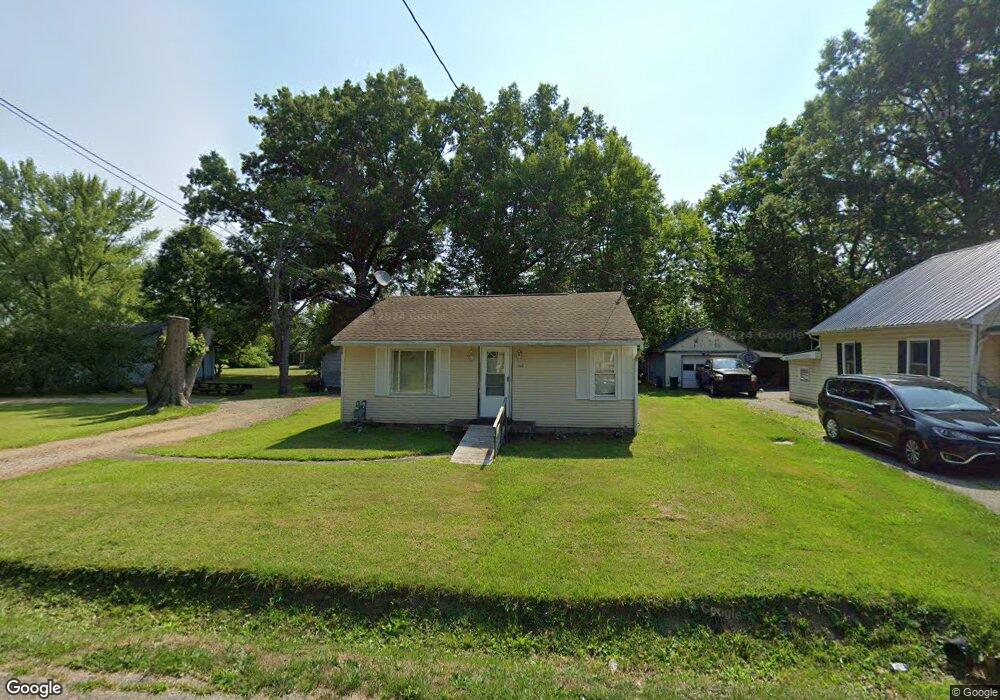
11340 Tullis Ave NE Alliance, OH 44601
Estimated Value: $88,000 - $103,000
2
Beds
1
Bath
772
Sq Ft
$126/Sq Ft
Est. Value
About This Home
This home is located at 11340 Tullis Ave NE, Alliance, OH 44601 and is currently estimated at $97,488, approximately $126 per square foot. 11340 Tullis Ave NE is a home located in Stark County with nearby schools including Marlington High School and Regina Coeli/St Joseph School.
Ownership History
Date
Name
Owned For
Owner Type
Purchase Details
Closed on
Jan 5, 2022
Sold by
Hill Patricia L
Bought by
Hill Richard H
Current Estimated Value
Purchase Details
Closed on
Sep 11, 2008
Sold by
Smith David E and Smith Merrieanna
Bought by
Hill Rutherford H and Hill Patricia L
Home Financials for this Owner
Home Financials are based on the most recent Mortgage that was taken out on this home.
Original Mortgage
$51,000
Interest Rate
6.54%
Mortgage Type
Purchase Money Mortgage
Purchase Details
Closed on
Nov 6, 1996
Sold by
Manypenny Jessie
Bought by
Smith David E and Smith Merrieanna
Home Financials for this Owner
Home Financials are based on the most recent Mortgage that was taken out on this home.
Original Mortgage
$61,750
Interest Rate
8.26%
Mortgage Type
New Conventional
Create a Home Valuation Report for This Property
The Home Valuation Report is an in-depth analysis detailing your home's value as well as a comparison with similar homes in the area
Home Values in the Area
Average Home Value in this Area
Purchase History
| Date | Buyer | Sale Price | Title Company |
|---|---|---|---|
| Hill Richard H | -- | -- | |
| Hill Rutherford H | $54,000 | Heritage Union Title Co Ltd | |
| Smith David E | $65,000 | -- |
Source: Public Records
Mortgage History
| Date | Status | Borrower | Loan Amount |
|---|---|---|---|
| Previous Owner | Hill Rutherford H | $51,000 | |
| Previous Owner | Smith David E | $61,750 |
Source: Public Records
Tax History Compared to Growth
Tax History
| Year | Tax Paid | Tax Assessment Tax Assessment Total Assessment is a certain percentage of the fair market value that is determined by local assessors to be the total taxable value of land and additions on the property. | Land | Improvement |
|---|---|---|---|---|
| 2025 | -- | $21,040 | $9,800 | $11,240 |
| 2024 | -- | $21,040 | $9,800 | $11,240 |
| 2023 | $608 | $17,260 | $4,450 | $12,810 |
| 2022 | $624 | $17,260 | $4,450 | $12,810 |
| 2021 | $612 | $17,260 | $4,450 | $12,810 |
| 2020 | $582 | $14,630 | $3,850 | $10,780 |
| 2019 | $578 | $14,630 | $3,850 | $10,780 |
| 2018 | $579 | $14,630 | $3,850 | $10,780 |
| 2017 | $542 | $12,820 | $2,840 | $9,980 |
| 2016 | $542 | $12,820 | $2,840 | $9,980 |
| 2015 | $516 | $12,820 | $2,840 | $9,980 |
| 2014 | $591 | $13,420 | $3,540 | $9,880 |
| 2013 | $294 | $13,420 | $3,540 | $9,880 |
Source: Public Records
Map
Nearby Homes
- 11344 Walnut Ave NE
- 11680 Walnut Ave NE
- 124 E Wayne St
- 0 Meadowbrook Ave
- 000 Meadowbrook Ave
- 14723 Bolton St NE
- 0 Homestead Ave NE
- 11310 Webb Ave NE
- 0 Johnson Ave NE Unit 5142926
- 511 W Ely St
- 15995 Elbrook St NE
- 652 N Webb Ave
- 329 1/2 W Main St
- 14422 Sturbridge Rd NE
- 0 Klinger Ave NE
- 432 Johnson Ave
- 163 W Market St
- 345 W Market St
- 000 Klinger Ave
- 132 S Haines Ave
- 11340 Tullis Ave NE
- 11325 Tullis Ave NE
- 11351 Tullis Ave NE
- 11317 Kelly Ave NE
- 11371 Tullis Ave NE
- 1134 Kelly Ave
- 11350 Pettit Ave NE
- 1132 Kelly Ave
- 1132 Kelly Ave
- 11399 Tullis Ave NE
- 15244 Gaskill Dr NE
- 15240 Gaskill Dr NE
- 11374 Pettit Ave NE
- 1143 Kelly Ave
- 11405 Tullis Ave NE
- 1141 Kelly Ave
- 15210 Gaskill Dr NE
- 11388 Pettit Ave NE
- 1130 Kelly Ave
- 11400 Pettit Ave NE