Estimated Value: $853,359 - $1,036,000
3
Beds
2
Baths
1,832
Sq Ft
$526/Sq Ft
Est. Value
About This Home
This home is located at 11346 E Sims Ln, Athol, ID 83801 and is currently estimated at $963,120, approximately $525 per square foot. 11346 E Sims Ln is a home located in Kootenai County with nearby schools including Athol Elementary School, Timberlake Junior High School, and Timberlake Senior High School.
Ownership History
Date
Name
Owned For
Owner Type
Purchase Details
Closed on
Apr 24, 2018
Sold by
Gates Jeff and Gates Karleen
Bought by
Jolliffe Daniel E and Jolliffe Vickie A
Current Estimated Value
Purchase Details
Closed on
Sep 14, 2015
Sold by
Bernard Roberts S and Bernard Susan G
Bought by
Gates Jeff and Gates Karleen
Purchase Details
Closed on
Sep 24, 2009
Sold by
The Lighthouse Group Inc
Bought by
Bernard Robert S and Bernard Susan G
Home Financials for this Owner
Home Financials are based on the most recent Mortgage that was taken out on this home.
Original Mortgage
$238,095
Interest Rate
5.25%
Mortgage Type
FHA
Purchase Details
Closed on
Jul 14, 2009
Sold by
Ranches Rolling Meadows
Bought by
The Lighthouse Group Inc
Home Financials for this Owner
Home Financials are based on the most recent Mortgage that was taken out on this home.
Original Mortgage
$181,723
Interest Rate
5.25%
Mortgage Type
Purchase Money Mortgage
Create a Home Valuation Report for This Property
The Home Valuation Report is an in-depth analysis detailing your home's value as well as a comparison with similar homes in the area
Purchase History
| Date | Buyer | Sale Price | Title Company |
|---|---|---|---|
| Jolliffe Daniel E | -- | First American Title Company | |
| Gates Jeff | -- | Alliance Title | |
| Bernard Robert S | -- | -- | |
| The Lighthouse Group Inc | -- | -- |
Source: Public Records
Mortgage History
| Date | Status | Borrower | Loan Amount |
|---|---|---|---|
| Previous Owner | Bernard Robert S | $238,095 | |
| Previous Owner | The Lighthouse Group Inc | $181,723 |
Source: Public Records
Tax History
| Year | Tax Paid | Tax Assessment Tax Assessment Total Assessment is a certain percentage of the fair market value that is determined by local assessors to be the total taxable value of land and additions on the property. | Land | Improvement |
|---|---|---|---|---|
| 2025 | $2,307 | $836,942 | $428,872 | $408,070 |
| 2024 | $2,622 | $865,802 | $461,182 | $404,620 |
| 2023 | $2,622 | $865,802 | $461,182 | $404,620 |
| 2022 | $2,959 | $865,802 | $461,182 | $404,620 |
| 2021 | $2,552 | $492,505 | $197,245 | $295,260 |
| 2020 | $2,689 | $431,560 | $166,380 | $265,180 |
| 2019 | $2,955 | $417,445 | $166,655 | $250,790 |
| 2018 | $2,591 | $342,766 | $135,196 | $207,570 |
| 2017 | $2,585 | $321,372 | $118,852 | $202,520 |
| 2016 | $2,120 | $286,705 | $94,145 | $192,560 |
| 2015 | $867 | $232,430 | $66,000 | $166,430 |
| 2013 | -- | $219,291 | $68,941 | $150,350 |
Source: Public Records
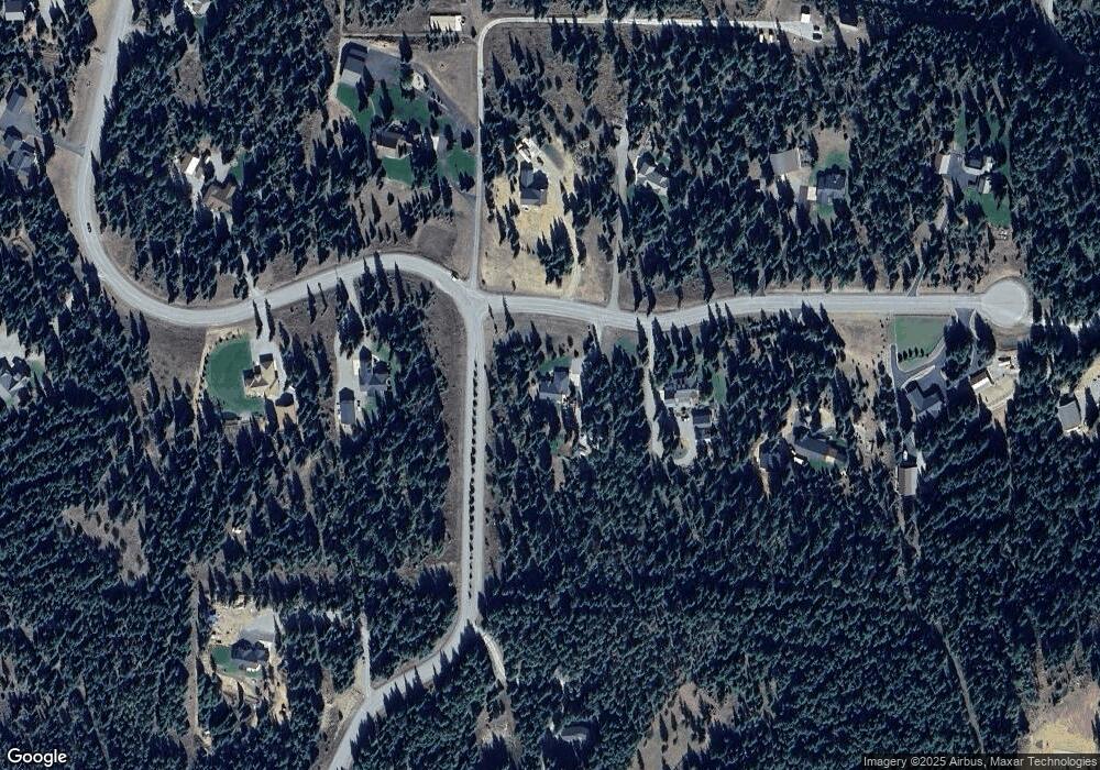
Map
Nearby Homes
- 11644 E Sims Ln
- NNA Forsgren Lane Lot 2
- 12664 E Howard Rd
- 12626 E Howard Rd
- DB Lot 11 Blk 1 Leonard Loop
- DB Lot 12 Blk 1 Leonard Loop
- Lot 16 Bk1 N Leonard Loop
- 10050 E Duce Rd
- 3 Ellington Ct
- NNA Arden
- 4 Ellington Ct
- NKA Bunco Rd Lot 2
- 8599 E Apache Trail
- NKA E Lowland Dr
- 600 Rock Springs Rd
- Lot 10 E Riley Loop
- L23 Blk 2 Forest View Recreational Trac
- 150 Wildfire Dr
- 49 Zig Zag Way
- NKA Akin Back Ranch Rd
- 11346 E Sims Ln
- 11346 Sims Rd
- 11346 Sims Rd
- Lt 1 Blk 2 Simms
- 11408 E Sims Ln
- Lt 16 Blk2 Simms
- Lt 1 Bk1 E Sims Ln
- L4 B1 E Sims Ln
- L3 Blk 2 E Sims Ln
- L15 Bk2 E Sims Ln
- L12 Blk2 E Sims Ln
- Lot 8 Blk 2 E Sims Ln
- Lot 9 Blk 2 E Sims Ln
- NNA E Sims Ln
- L8B2 E Sims Ln
- L9B2 E Sims Ln
- Lt1Blk2 Simms
- 11088 E Sims Ln
- Lt16Blk2 Simms
- Lt 1 Blk2 Simms
Your Personal Tour Guide
Ask me questions while you tour the home.