11346 Maple Grove Ct Dubuque, IA 52003
Estimated Value: $304,000 - $486,000
About This Home
This home is located at 11346 Maple Grove Ct, Dubuque, IA 52003 and is currently estimated at $424,117, approximately $225 per square foot. 11346 Maple Grove Ct is a home located in Dubuque County with nearby schools including Hoover Elementary School, Eleanor Roosevelt Middle School, and Dubuque Senior High School.
Ownership History
We collect this data history from publicly available records. To have your information removed, we recommend requesting removal directly through your county’s website.
Purchase Details
Home Financials for this Owner
Home Financials are based on the most recent Mortgage that was taken out on this home.Purchase Details
Purchase History
We collect this data history from publicly available records. To have your information removed, we recommend requesting removal directly through your county’s website.
| Date | Buyer | Sale Price | Title Company |
|---|---|---|---|
| $505,000 | None Listed On Document | ||
| -- | None Available |
Mortgage History
We collect this data history from publicly available records. To have your information removed, we recommend requesting removal directly through your county’s website.
| Date | Status | Borrower | Loan Amount |
|---|---|---|---|
| Open | $429,250 |
Tax History
We collect this data history from publicly available records. To have your information removed, we recommend requesting removal directly through your county’s website.
| Year | Tax Paid | Tax Assessment Tax Assessment Total Assessment is a certain percentage of the fair market value that is determined by local assessors to be the total taxable value of land and additions on the property. | Land | Improvement |
|---|---|---|---|---|
| 2025 | $4,352 | $415,400 | $75,800 | $339,600 |
| 2024 | $4,352 | $396,000 | $72,200 | $323,800 |
| 2023 | $4,280 | $396,000 | $72,200 | $323,800 |
| 2022 | $4,100 | $310,570 | $66,880 | $243,690 |
| 2021 | $4,100 | $310,570 | $66,880 | $243,690 |
| 2020 | $4,332 | $302,350 | $63,760 | $238,590 |
| 2019 | $4,266 | $305,870 | $67,280 | $238,590 |
| 2018 | $4,160 | $289,980 | $50,880 | $239,100 |
| 2017 | $4,022 | $289,980 | $50,880 | $239,100 |
| 2016 | $4,022 | $266,890 | $53,000 | $213,890 |
| 2015 | $3,910 | $266,890 | $53,000 | $213,890 |
| 2014 | $3,614 | $255,780 | $50,200 | $205,580 |
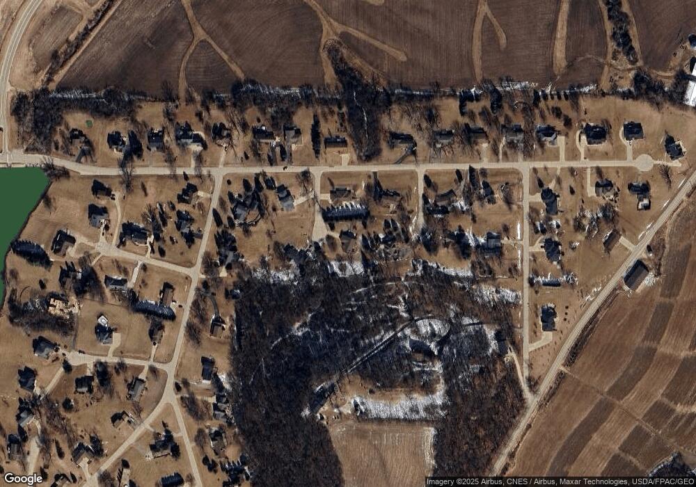
Map
- TBD2 S Boulder Brook Ct
- 6501 Boulder Brook Ct
- 14847 Lost Canyon Rd
- 73.43 acres Old Highway Rd
- 4400 Dodge St
- 12677 Brentwood Ct
- 575 Woodland Ridge
- 7802 S Westbrook Dr
- 3524 Lunar Dr
- 1543 Pebble Creek Dr
- 45 Oak Grove Dr
- 0 Associates Dr
- 14549 Keegan Ct
- LOT 20 & 21 Oakland Ridge Estates
- 11838 Lorelei Ln
- 16144 Majestic Dr
- Lot 9 Alea Ln
- 455 Tannin Ct
- 3214 Lake Ridge Unit E Dr
- 0 Windmill Ln Unit ECR155027
- 11345 Pinewood Ct
- 11370 Maple Grove Ct
- 11341 Maple Grove Ct
- 13872 Barrington Dr
- 11373 Maple Grove Ct
- 11348 Pinewood Ct
- 13895 Barrington Dr
- 11402 Lakeview Dr
- 13962 Barrington Dr
- 13800 Barrington Dr
- 13716 Barrington Dr
- 13939 Barrington Dr
- 13849 Barrington Dr
- 13949 Barrington Dr
- 13738 Barrington Dr
- 11392 Lakeview Dr
- 13718 Barrington Dr
- 13821 Barrington Dr
- 13754 Barrington Dr
- 11425 Lakeview Dr
Ask me questions while you tour the home.