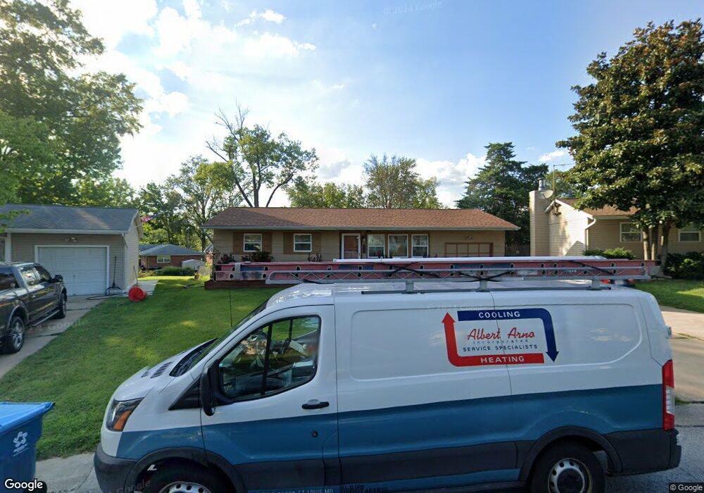
11347 Ranger Dr Saint Louis, MO 63128
Estimated Value: $203,000 - $252,000
2
Beds
1
Bath
864
Sq Ft
$267/Sq Ft
Est. Value
About This Home
This home is located at 11347 Ranger Dr, Saint Louis, MO 63128 and is currently estimated at $230,463, approximately $266 per square foot. 11347 Ranger Dr is a home located in St. Louis County with nearby schools including Sappington Elementary School, Sperreng Middle School, and Lindbergh High School.
Ownership History
Date
Name
Owned For
Owner Type
Purchase Details
Closed on
Mar 11, 2009
Sold by
Adank Andrew D
Bought by
Adank Andrew D
Current Estimated Value
Purchase Details
Closed on
Jan 15, 2002
Sold by
Rawlins Alan S and Rawlins Cynthia A
Bought by
Adank Andrew D
Home Financials for this Owner
Home Financials are based on the most recent Mortgage that was taken out on this home.
Original Mortgage
$93,000
Outstanding Balance
$38,085
Interest Rate
7.07%
Estimated Equity
$192,378
Create a Home Valuation Report for This Property
The Home Valuation Report is an in-depth analysis detailing your home's value as well as a comparison with similar homes in the area
Home Values in the Area
Average Home Value in this Area
Purchase History
| Date | Buyer | Sale Price | Title Company |
|---|---|---|---|
| Adank Andrew D | -- | Title Partners Agency Llc | |
| Adank Andrew D | $97,900 | -- |
Source: Public Records
Mortgage History
| Date | Status | Borrower | Loan Amount |
|---|---|---|---|
| Open | Adank Andrew D | $93,000 |
Source: Public Records
Tax History Compared to Growth
Tax History
| Year | Tax Paid | Tax Assessment Tax Assessment Total Assessment is a certain percentage of the fair market value that is determined by local assessors to be the total taxable value of land and additions on the property. | Land | Improvement |
|---|---|---|---|---|
| 2025 | $2,345 | $41,230 | $22,880 | $18,350 |
| 2024 | $2,345 | $35,570 | $19,060 | $16,510 |
| 2023 | $2,339 | $35,570 | $19,060 | $16,510 |
| 2022 | $2,404 | $32,490 | $19,060 | $13,430 |
| 2021 | $2,131 | $32,490 | $19,060 | $13,430 |
| 2020 | $1,859 | $27,290 | $17,140 | $10,150 |
| 2019 | $1,854 | $27,290 | $17,140 | $10,150 |
| 2018 | $1,705 | $22,800 | $9,100 | $13,700 |
| 2017 | $1,687 | $22,800 | $9,100 | $13,700 |
| 2016 | $1,684 | $21,620 | $8,150 | $13,470 |
| 2015 | $1,691 | $21,620 | $8,150 | $13,470 |
| 2014 | -- | $21,010 | $6,040 | $14,970 |
Source: Public Records
Map
Nearby Homes
- 5837 Oak Forest Ln
- 11345 Revere Ln
- 11673 Rossmoor Ln
- 10916 Arctic Dr
- 25 Fawnwood Dr
- 10923 Suanis Ct
- 9932 Jan Dr
- 11862 E Concord Rd
- 11074 Kohrs Ln
- 11542 Concord Village Ave
- 4838 Dorsie Dr
- 4849 Gatesbury Dr
- 9511 Alix Dr
- 12015 Charwick Dr
- 10115 Fite Cir
- 4740 Hedgemont Dr
- 10903 Village Grove Dr Unit D
- 10924 Village Grove Dr Unit C
- 4931 Theiss Rd
- 9201 Cedarberry Ct
- 11351 Ranger Dr
- 11343 Ranger Dr
- 11355 Ranger Dr
- 11346 Ranger Dr
- 11337 Ranger Dr
- 11350 Ranger Dr
- 11359 Ranger Dr
- 11344 Five Oaks Pkwy
- 11340 Five Oaks Pkwy
- 11338 Ranger Dr
- 11348 Five Oaks Pkwy
- 11329 Revere Ln
- 11358 Ranger Dr
- 11336 Five Oaks Pkwy
- 11363 Ranger Dr
- 11352 Five Oaks Pkwy
- 11335 Revere Ln
- 11332 Five Oaks Pkwy
- 11362 Ranger Dr
- 11353 Revere Ln