1135 Cold Stream Trail Jasper, GA 30143
Estimated Value: $581,000 - $752,000
3
Beds
2
Baths
3,532
Sq Ft
$191/Sq Ft
Est. Value
About This Home
This home is located at 1135 Cold Stream Trail, Jasper, GA 30143 and is currently estimated at $674,663, approximately $191 per square foot. 1135 Cold Stream Trail is a home located in Dawson County with nearby schools including Robinson Elementary School, Dawson County Junior High School, and Dawson County Middle School.
Ownership History
Date
Name
Owned For
Owner Type
Purchase Details
Closed on
Dec 16, 2022
Sold by
Hartridge John
Bought by
Hartridge John and Rawls Kaye
Current Estimated Value
Home Financials for this Owner
Home Financials are based on the most recent Mortgage that was taken out on this home.
Original Mortgage
$225,000
Outstanding Balance
$217,518
Interest Rate
7.08%
Mortgage Type
New Conventional
Estimated Equity
$457,145
Purchase Details
Closed on
Jan 22, 2013
Sold by
Rawls Kaye
Bought by
Rawls Kaye M
Home Financials for this Owner
Home Financials are based on the most recent Mortgage that was taken out on this home.
Original Mortgage
$104,603
Interest Rate
3.38%
Mortgage Type
New Conventional
Purchase Details
Closed on
Sep 29, 2003
Sold by
Rawls Robert S
Bought by
Rawls Robert S and Rawls Kaye M
Purchase Details
Closed on
Apr 11, 2000
Sold by
Sassafras Associates
Bought by
Rawls Robert S
Create a Home Valuation Report for This Property
The Home Valuation Report is an in-depth analysis detailing your home's value as well as a comparison with similar homes in the area
Home Values in the Area
Average Home Value in this Area
Purchase History
| Date | Buyer | Sale Price | Title Company |
|---|---|---|---|
| Hartridge John | -- | -- | |
| Rawls Kaye M | -- | -- | |
| Hartridge John | $200,000 | -- | |
| Rawls Robert S | -- | -- | |
| Rawls Robert S | $59,400 | -- |
Source: Public Records
Mortgage History
| Date | Status | Borrower | Loan Amount |
|---|---|---|---|
| Open | Hartridge John | $225,000 | |
| Previous Owner | Hartridge John | $104,603 |
Source: Public Records
Tax History
| Year | Tax Paid | Tax Assessment Tax Assessment Total Assessment is a certain percentage of the fair market value that is determined by local assessors to be the total taxable value of land and additions on the property. | Land | Improvement |
|---|---|---|---|---|
| 2025 | $2,212 | $220,600 | $30,040 | $190,560 |
| 2024 | $2,212 | $216,360 | $30,040 | $186,320 |
| 2023 | $2,212 | $223,120 | $30,040 | $193,080 |
| 2022 | $2,264 | $185,920 | $16,040 | $169,880 |
| 2021 | $1,650 | $153,160 | $16,040 | $137,120 |
| 2020 | $3,509 | $148,280 | $16,040 | $132,240 |
| 2019 | $3,530 | $147,920 | $16,040 | $131,880 |
| 2018 | $3,538 | $147,920 | $16,040 | $131,880 |
| 2017 | $3,111 | $153,028 | $20,080 | $132,948 |
| 2016 | $3,605 | $150,736 | $20,080 | $130,656 |
| 2015 | $3,721 | $150,736 | $20,080 | $130,656 |
| 2014 | $2,039 | $126,094 | $17,470 | $108,624 |
| 2013 | -- | $108,613 | $15,060 | $93,553 |
Source: Public Records
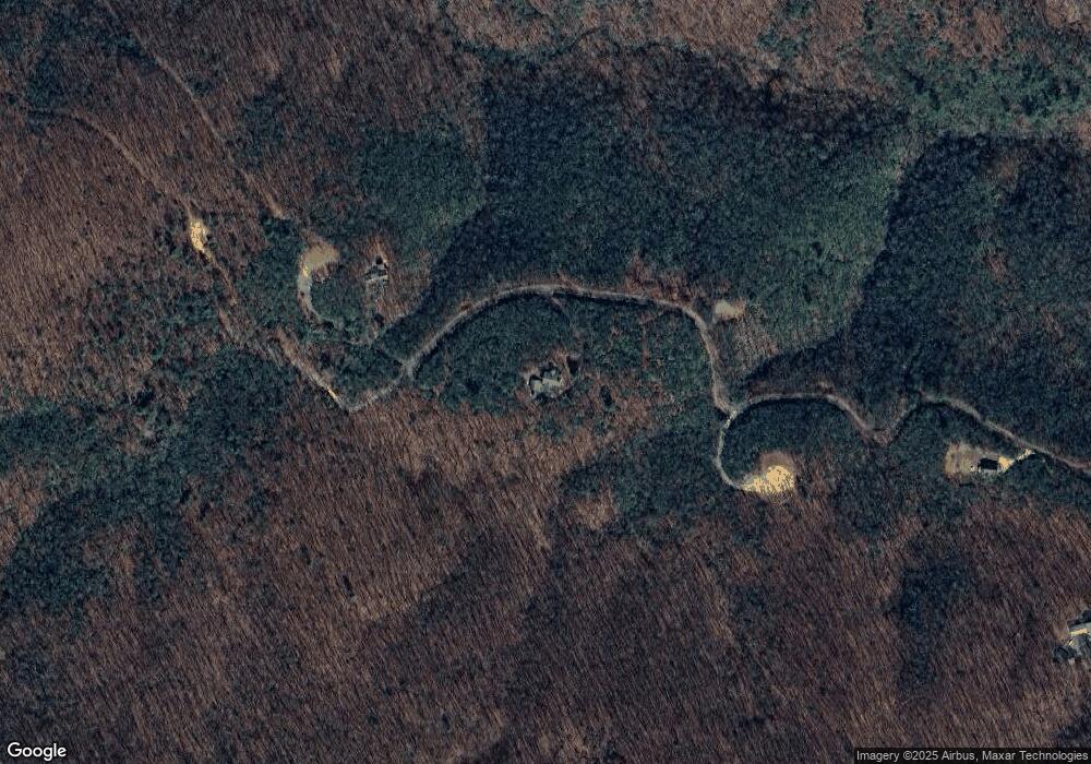
Map
Nearby Homes
- 587 Cold Stream Trail
- 1298 Cold Stream Trail
- LOT 9F Renate Dr
- Lot 03 Upper Sassafras Pkwy
- Lot 02 Upper Sassafras Pkwy
- 13.57 Ac Burnt Mountain Cove Rd
- 110 Burnt Mountain Cove Rd
- 1093 Lower Sassafras Pkwy
- 1512 Upper Sassafras Pkwy
- 168 Burnt Mountain Cove Rd
- 0 Lower Sassafras Pkwy
- 00 Lower Sassafras Pkwy
- 00 Burnt Mountain Ridge Rd
- LT 33 High Cliff Rd
- 31 High Cliff Rd
- 191 Rimrock Rd
- 956 Sunrise Ridge
- 205 Laurel Branch Dr
- 67 Falls Trail
- TRACT 67 Falls Trail
- 379 Upper Sassafras Pkwy
- 17361 Highway 136 W
- 435 Upper Sassafras Pkwy
- 435 Upper Sassafras Pkwy Unit 114
- 891 Cold Stream Trail Unit 157
- 181 Upper Sassafras Pkwy
- 192 Upper Sassafras Pkwy
- 597 Upper Sassafras Pkwy
- #0A Cold Stream Trail
- #0 Cold Stream Trail
- 605 Cold Stream Trail
- 586 Upper Sassafras Pkwy
- 434 Upper Sassafras Pkwy
- 161 Creekview Trail
- 135 Upper Sassafras Pkwy
- 131 Upper Sassafras Mountain Pkwy
- 130 Upper Sassafras Pkwy
- 176 Cold Stream
- 154 Cold Stream Trail
- 177 Cold Stream Trail
Your Personal Tour Guide
Ask me questions while you tour the home.