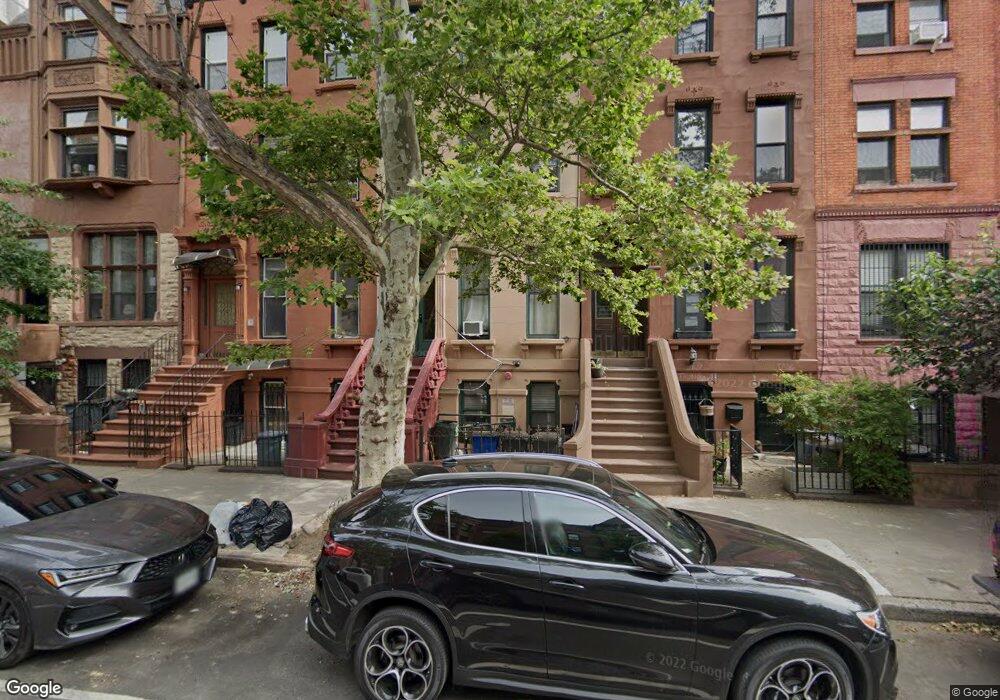
1135 Dean St Brooklyn, NY 11216
Crown Heights NeighborhoodEstimated Value: $1,827,000 - $2,401,000
--
Bed
--
Bath
3,084
Sq Ft
$665/Sq Ft
Est. Value
About This Home
This home is located at 1135 Dean St, Brooklyn, NY 11216 and is currently estimated at $2,051,333, approximately $665 per square foot. 1135 Dean St is a home located in Kings County with nearby schools including Brooklyn Arts and Science Elementary School, Explore Exceed Charter Lower School, and Epiphany Lutheran School.
Ownership History
Date
Name
Owned For
Owner Type
Purchase Details
Closed on
Apr 1, 2001
Sold by
Utica Management Corp
Bought by
Dejesus Nelson
Current Estimated Value
Home Financials for this Owner
Home Financials are based on the most recent Mortgage that was taken out on this home.
Original Mortgage
$400,900
Interest Rate
7.13%
Purchase Details
Closed on
Oct 13, 1998
Sold by
Flagstar Bank Fsb
Bought by
Utica Management Corp
Purchase Details
Closed on
Aug 25, 1994
Sold by
Lewin Annette
Bought by
Blue Thurman
Home Financials for this Owner
Home Financials are based on the most recent Mortgage that was taken out on this home.
Original Mortgage
$20,000
Interest Rate
8.9%
Mortgage Type
Seller Take Back
Create a Home Valuation Report for This Property
The Home Valuation Report is an in-depth analysis detailing your home's value as well as a comparison with similar homes in the area
Home Values in the Area
Average Home Value in this Area
Purchase History
| Date | Buyer | Sale Price | Title Company |
|---|---|---|---|
| Dejesus Nelson | -- | -- | |
| Utica Management Corp | $85,000 | Commonwealth Land Title Ins | |
| Blue Thurman | $60,000 | -- |
Source: Public Records
Mortgage History
| Date | Status | Borrower | Loan Amount |
|---|---|---|---|
| Previous Owner | Dejesus Nelson | $400,900 | |
| Previous Owner | Blue Thurman | $20,000 | |
| Closed | Blue Thurman | $87,500 |
Source: Public Records
Tax History Compared to Growth
Tax History
| Year | Tax Paid | Tax Assessment Tax Assessment Total Assessment is a certain percentage of the fair market value that is determined by local assessors to be the total taxable value of land and additions on the property. | Land | Improvement |
|---|---|---|---|---|
| 2025 | $4,718 | $89,760 | $22,800 | $66,960 |
| 2024 | $4,718 | $100,380 | $22,800 | $77,580 |
| 2023 | $4,770 | $114,360 | $22,800 | $91,560 |
| 2022 | $4,653 | $106,260 | $22,800 | $83,460 |
| 2021 | $4,628 | $82,020 | $22,800 | $59,220 |
| 2020 | $3,471 | $96,180 | $22,800 | $73,380 |
| 2019 | $4,095 | $106,380 | $22,800 | $83,580 |
| 2018 | $3,990 | $19,573 | $3,133 | $16,440 |
| 2017 | $3,960 | $19,425 | $4,905 | $14,520 |
| 2016 | $3,664 | $18,326 | $6,246 | $12,080 |
| 2015 | $2,210 | $17,289 | $8,833 | $8,456 |
| 2014 | $2,210 | $16,311 | $10,005 | $6,306 |
Source: Public Records
Map
Nearby Homes
- 1214 Pacific St Unit 4
- 1208 Pacific St Unit 2H
- 1251 Pacific St Unit 2 A
- 1251 Pacific St Unit 2
- 1251 Pacific St Unit 4
- 1251 Pacific St Unit 1
- 1251 Pacific St Unit 1 A
- 1219 Dean St
- 1150 Pacific St
- 660 St Marks Ave
- 1106 Bergen St
- 698 Saint Marks Ave
- 1235 Dean St Unit 4
- 971 Bergen St
- 974 Bergen St Unit 2
- 974 Bergen St Unit 1
- 974 Bergen St Unit 3
- 715 Prospect Place Unit 1B
- 966 Bergen St
- 35 Herkimer St
- 1137 Dean St
- 1137 Dean St Unit 1
- 1137 Dean St Unit 4
- 1137 Dean St Unit 5
- 1137 Dean St Unit 2
- 1133 Dean St
- 1133 Dean St Unit 1F
- 1139 Dean St
- 1139 Dean St Unit 2
- 1131 Dean St
- 1141 Dean St
- 1141 Dean St Unit 4
- 1141 Dean St Unit 1
- 1141 Dean St Unit 2
- 1141 Dean St Unit 3
- 1129 Dean St
- 1129 Dean St Unit 2
- 1143 Dean St
- 1127 Dean St
- 1145 Dean St