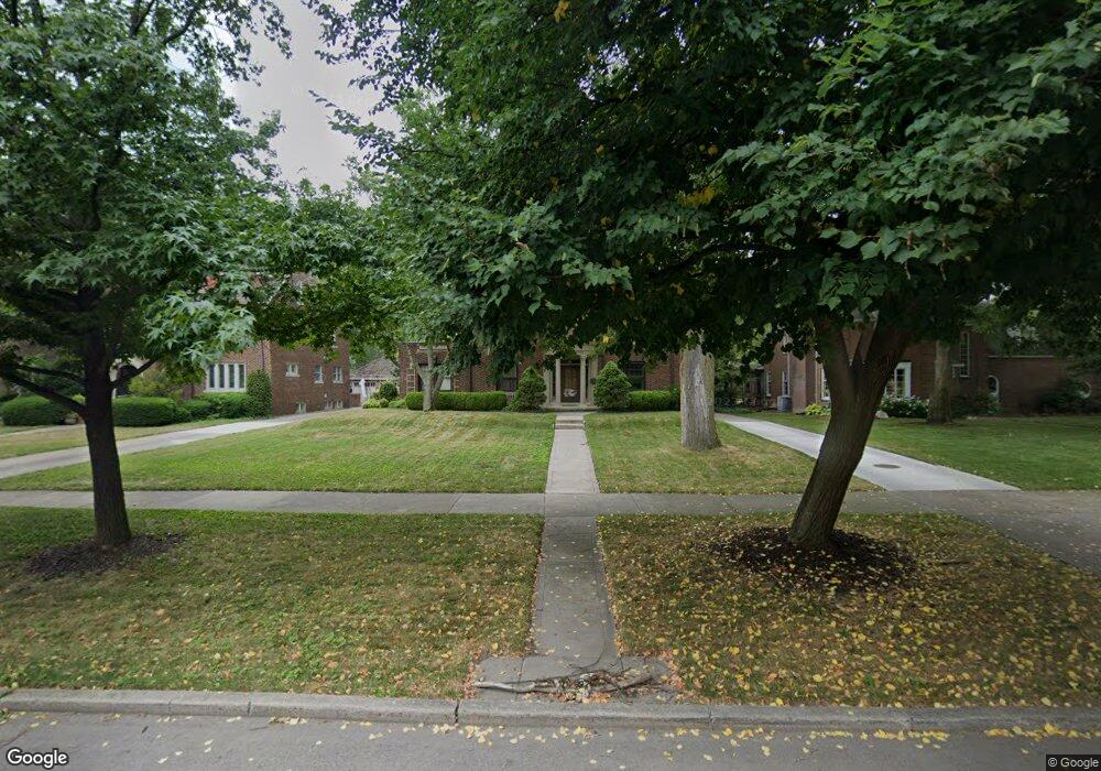
1135 Devonshire Rd Grosse Pointe Park, MI 48230
Estimated Value: $640,452 - $786,000
Studio
1
Bath
2,816
Sq Ft
$255/Sq Ft
Est. Value
About This Home
This home is located at 1135 Devonshire Rd, Grosse Pointe Park, MI 48230 and is currently estimated at $718,113, approximately $255 per square foot. 1135 Devonshire Rd is a home located in Wayne County with nearby schools including George Defer Elementary School, Pierce Middle School, and Grosse Pointe South High School.
Ownership History
Date
Name
Owned For
Owner Type
Purchase Details
Closed on
May 15, 2006
Sold by
Breckenridge Craig R and Breckenridge Laura L
Bought by
Sklarski John
Current Estimated Value
Create a Home Valuation Report for This Property
The Home Valuation Report is an in-depth analysis detailing your home's value as well as a comparison with similar homes in the area
Home Values in the Area
Average Home Value in this Area
Purchase History
| Date | Buyer | Sale Price | Title Company |
|---|---|---|---|
| Sklarski John | -- | Lawyers Title Ins |
Source: Public Records
Tax History
| Year | Tax Paid | Tax Assessment Tax Assessment Total Assessment is a certain percentage of the fair market value that is determined by local assessors to be the total taxable value of land and additions on the property. | Land | Improvement |
|---|---|---|---|---|
| 2025 | $5,251 | $305,300 | $0 | $0 |
| 2024 | $5,054 | $283,600 | $0 | $0 |
| 2023 | $4,827 | $261,000 | $0 | $0 |
| 2022 | $4,585 | $240,700 | $0 | $0 |
| 2021 | $9,041 | $230,300 | $0 | $0 |
| 2019 | $9,304 | $220,900 | $0 | $0 |
| 2018 | $4,372 | $195,000 | $0 | $0 |
| 2017 | $9,827 | $139,100 | $0 | $0 |
| 2016 | $10,192 | $202,700 | $0 | $0 |
| 2015 | $16,361 | $189,300 | $0 | $0 |
| 2013 | $15,850 | $161,100 | $0 | $0 |
| 2012 | $5,378 | $169,400 | $63,600 | $105,800 |
Source: Public Records
Map
Nearby Homes
- 1206 Balfour St
- 1338 Somerset Ave
- 1254 Beaconsfield Ave
- 943 Harcourt Rd Unit 45
- 1048 Lakepointe St Unit A
- 1083 Lakepointe St
- 74 Pointe Park Place Unit 311
- 32 Pointe Park Place Unit 31
- 1328 Lakepointe St
- 3430 Bedford St
- 26 Pointe Park Place Unit 303
- 3460 Bedford St
- 1239 Maryland St
- 1417 Beaconsfield Ave
- 1264 Bishop Rd
- 815 Harcourt Rd Unit 2
- 814 Harcourt Rd Unit 816
- 1350 Alter Rd
- 1030 Bishop Rd
- 2140 Alter Rd
- 1143 Devonshire Rd
- 1127 Devonshire Rd
- 1153 Devonshire Rd
- 1119 Devonshire Rd
- 1134 Buckingham Rd
- 1142 Buckingham Rd
- 1120 Buckingham Rd
- 1150 Buckingham Rd
- 1118 Buckingham Rd
- 1161 Devonshire Rd
- 1111 Devonshire Rd
- 1138 Devonshire Rd
- 1128 Devonshire Rd
- 1162 Buckingham Rd
- 1114 Buckingham Rd
- 1120 Devonshire Rd
- 1152 Devonshire Rd
- 1103 Devonshire Rd
- 1169 Devonshire Rd
- 1112 Devonshire Rd
Your Personal Tour Guide
Ask me questions while you tour the home.