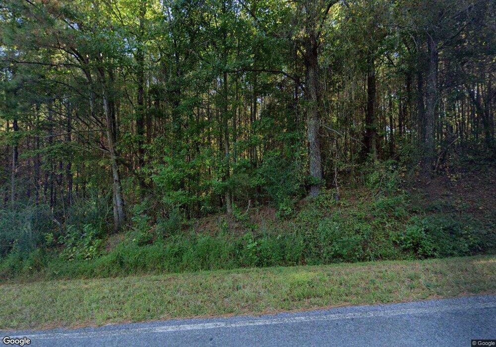
1135 Jim T Mickel Rd Franklin, GA 30217
Estimated Value: $265,000 - $724,768
4
Beds
2
Baths
1,623
Sq Ft
$305/Sq Ft
Est. Value
About This Home
This home is located at 1135 Jim T Mickel Rd, Franklin, GA 30217 and is currently estimated at $494,884, approximately $304 per square foot. 1135 Jim T Mickel Rd is a home located in Heard County with nearby schools including Heard County High School.
Ownership History
Date
Name
Owned For
Owner Type
Purchase Details
Closed on
Mar 6, 2009
Sold by
Mclain Alice Elaine
Bought by
Smith Lori Mclain and Mclain Karen A
Current Estimated Value
Purchase Details
Closed on
Jun 12, 2006
Sold by
Mclain Alice Elaine
Bought by
Smith Gary A
Purchase Details
Closed on
Mar 20, 1999
Sold by
Mcwhorter J C Etal
Bought by
Mclain Alice Elaine
Purchase Details
Closed on
Jan 1, 1901
Sold by
Arrington Bessie
Bought by
Mcwhorter J C Etal
Create a Home Valuation Report for This Property
The Home Valuation Report is an in-depth analysis detailing your home's value as well as a comparison with similar homes in the area
Home Values in the Area
Average Home Value in this Area
Purchase History
| Date | Buyer | Sale Price | Title Company |
|---|---|---|---|
| Smith Lori Mclain | -- | -- | |
| Smith Gary A | -- | -- | |
| Mclain Alice Elaine | -- | -- | |
| Mcwhorter J C Etal | -- | -- | |
| Arrington Bessie | -- | -- |
Source: Public Records
Tax History Compared to Growth
Tax History
| Year | Tax Paid | Tax Assessment Tax Assessment Total Assessment is a certain percentage of the fair market value that is determined by local assessors to be the total taxable value of land and additions on the property. | Land | Improvement |
|---|---|---|---|---|
| 2024 | $2,181 | $223,438 | $174,322 | $49,116 |
| 2023 | $2,055 | $198,383 | $157,154 | $41,229 |
| 2022 | $2,011 | $197,835 | $157,154 | $40,681 |
| 2021 | $1,885 | $188,822 | $157,154 | $31,668 |
| 2020 | $1,882 | $189,260 | $157,154 | $32,106 |
| 2019 | $2,373 | $202,820 | $170,714 | $32,106 |
| 2018 | $4,590 | $202,820 | $170,714 | $32,106 |
| 2017 | $2,040 | $132,246 | $112,401 | $19,845 |
| 2016 | $1,994 | $132,246 | $112,401 | $19,845 |
| 2015 | -- | $148,582 | $133,593 | $14,989 |
| 2014 | -- | $148,582 | $133,593 | $14,989 |
| 2013 | -- | $148,582 | $133,593 | $14,989 |
Source: Public Records
Map
Nearby Homes
- 4383 Ga Highway 34
- 4383 Georgia 34
- 6110 Ga Highway 34
- 2485 Georgia 34
- 6215 Georgia 34
- 1555 Straylott Rd
- 14.8 + - Ac Bethel Rd W
- 14.8 +/- AC Bethel Rd W
- 18 +/- AC Bethel Rd W
- 18+/- Ac Bethel Rd W
- 24.5+/- Ac Awebreys Gin Rd
- 0 Drummond Rd Unit 10576586
- 0 Drummond Rd Unit 7642521
- 57+/- Ac Victory Rd
- 13.9 + - Ac Awebreys Gin Rd
- 13.9 +/- AC Awbreys Gin Rd
- 24.5+/- AC Awbreys Gin Rd
- 24.5 +/- AC Awbreys Gin Rd
- 11 +/- AC Awbreys Gin Rd
- 11 + - Ac Awebreys Gin Rd
- 660 Jim T Mickel Rd
- 4235 Ga Highway 34
- 4235 Ga Highway 34
- 4235 Ga Highway 34
- 4235 Georgia 34
- 173 Jim T Mickel Rd
- 5644 Red Land Rd
- 5494 Red Land Rd
- 4370 Ga Highway 34
- 3839 Ga Highway 34
- 4402 Ga Highway 34
- 4274 Ga Highway 34
- 4274 Ga Highway 34
- 4274 Ga Highway 34
- 4274 Georgia 34
- 4030 Ga Highway 34
- 3815 Ga Highway 34
- 5644 Redland Rd
- 0 Straylott Rd Unit 3253637
- 0 Straylott Rd Unit 100 3288718
