1135 Lindsey Rd Unit 219 Springfield, OH 45503
Estimated Value: $198,000 - $208,000
2
Beds
2
Baths
1,300
Sq Ft
$155/Sq Ft
Est. Value
About This Home
This home is located at 1135 Lindsey Rd Unit 219, Springfield, OH 45503 and is currently estimated at $202,117, approximately $155 per square foot. 1135 Lindsey Rd Unit 219 is a home located in Clark County with nearby schools including Rolling Hills Elementary School, Northridge Middle School, and Kenton Ridge Middle & High School.
Ownership History
Date
Name
Owned For
Owner Type
Purchase Details
Closed on
Aug 22, 2013
Sold by
Auckland Robert C and Auckland Mary L
Bought by
Auckland Mary L
Current Estimated Value
Purchase Details
Closed on
Aug 21, 2002
Sold by
Castillo Charyl and Estate Of Betty F Vincent
Bought by
Auckland Robert C and Auckland Mary L
Home Financials for this Owner
Home Financials are based on the most recent Mortgage that was taken out on this home.
Original Mortgage
$79,600
Outstanding Balance
$29,326
Interest Rate
4.75%
Estimated Equity
$172,791
Create a Home Valuation Report for This Property
The Home Valuation Report is an in-depth analysis detailing your home's value as well as a comparison with similar homes in the area
Home Values in the Area
Average Home Value in this Area
Purchase History
| Date | Buyer | Sale Price | Title Company |
|---|---|---|---|
| Auckland Mary L | -- | Attorney | |
| Auckland Robert C | $99,500 | -- |
Source: Public Records
Mortgage History
| Date | Status | Borrower | Loan Amount |
|---|---|---|---|
| Open | Auckland Robert C | $79,600 |
Source: Public Records
Tax History Compared to Growth
Tax History
| Year | Tax Paid | Tax Assessment Tax Assessment Total Assessment is a certain percentage of the fair market value that is determined by local assessors to be the total taxable value of land and additions on the property. | Land | Improvement |
|---|---|---|---|---|
| 2024 | $1,304 | $40,940 | $6,300 | $34,640 |
| 2023 | $1,304 | $40,940 | $6,300 | $34,640 |
| 2022 | $1,326 | $40,940 | $6,300 | $34,640 |
| 2021 | $1,312 | $36,050 | $5,250 | $30,800 |
| 2020 | $1,314 | $36,050 | $5,250 | $30,800 |
| 2019 | $1,340 | $36,050 | $5,250 | $30,800 |
| 2018 | $1,204 | $32,500 | $5,570 | $26,930 |
| 2017 | $1,024 | $31,010 | $5,565 | $25,445 |
| 2016 | $1,016 | $31,010 | $5,565 | $25,445 |
| 2015 | $868 | $30,695 | $5,250 | $25,445 |
| 2014 | $868 | $30,695 | $5,250 | $25,445 |
| 2013 | $1,059 | $30,695 | $5,250 | $25,445 |
Source: Public Records
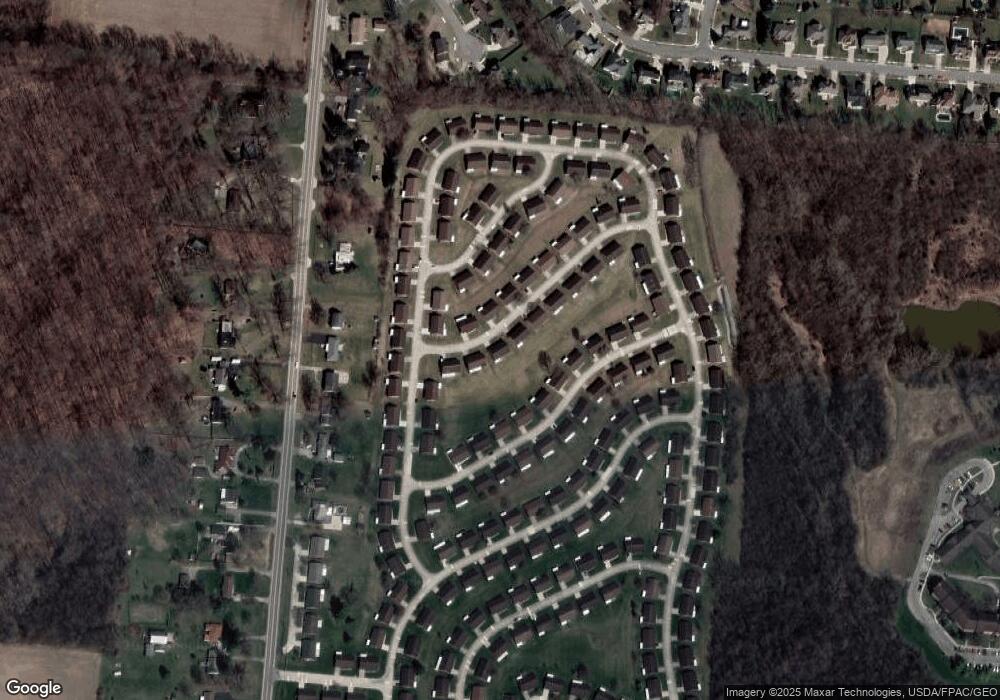
Map
Nearby Homes
- 1148 Foxboro Rd
- 3032 Armsgate Rd Unit 25
- 3029 Bradford Dr Unit 46
- 1162 Kingsgate Rd
- 3631 Kingsgate Ln
- 1509 Kingsgate Rd
- 1501 Kingsgate Rd
- 1732 Falmouth Ave
- 1503 Kingsgate Rd
- 1505 Kingsgate Rd
- 1507 Kingsgate Rd
- 647 Villa Rd Unit A
- 1139 Greenoak Ct
- 1225 Vester Ave
- 542 Villa Rd
- 3229 Bristol Dr
- 1781 Pinehurst Dr
- 3307 Tackett St
- 4109 Derr Rd
- 3129 Haverhill St
- 1133 Lindsey Rd Unit 220
- 1137 Lindsey Rd
- 1134 Lindsey Rd Unit 225
- 1136 Lindsey Rd Unit 226
- 1131 Lindsey Rd
- 1139 Lindsey Rd Unit 217
- 1138 Lindsey Rd Unit 227
- 1138 Lindsey Rd
- 1142 Foxboro Rd Unit 205
- 3082 Brixton Dr W
- 1138 Foxboro Rd Unit 203
- 1138 Foxboro Rd
- 1141 Lindsey Rd
- 1144 Foxboro Rd
- 1144 Foxboro Rd Unit 206
- 3086 Brixton Dr W
- 3086 Brixton Dr W
- 1140 Lindsey Rd Unit 228
- 3070 Brixton Dr W
- 3070 Brixton Dr W Unit 222