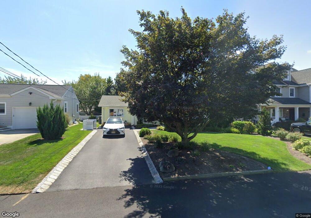
1135 Minnesink Rd Manasquan, NJ 08736
Estimated Value: $754,148 - $1,177,000
2
Beds
1
Bath
1,260
Sq Ft
$701/Sq Ft
Est. Value
About This Home
This home is located at 1135 Minnesink Rd, Manasquan, NJ 08736 and is currently estimated at $883,537, approximately $701 per square foot. 1135 Minnesink Rd is a home located in Monmouth County with nearby schools including Wall High School and The Brookside School.
Ownership History
Date
Name
Owned For
Owner Type
Purchase Details
Closed on
Nov 5, 2020
Sold by
Oliver William W and Oliver Elizabeth J
Bought by
Oliver William W and Oliver Elizabeth J
Current Estimated Value
Purchase Details
Closed on
Aug 10, 2011
Sold by
Oliver William W and Jensen Elizabeth
Bought by
Oliver William W and Oliver Elizabeth J
Purchase Details
Closed on
Oct 29, 1993
Sold by
Ellis Evelyn
Bought by
Oliver William and Jensen Elizabeth
Home Financials for this Owner
Home Financials are based on the most recent Mortgage that was taken out on this home.
Original Mortgage
$104,000
Interest Rate
6.83%
Create a Home Valuation Report for This Property
The Home Valuation Report is an in-depth analysis detailing your home's value as well as a comparison with similar homes in the area
Home Values in the Area
Average Home Value in this Area
Purchase History
| Date | Buyer | Sale Price | Title Company |
|---|---|---|---|
| Oliver William W | -- | None Listed On Document | |
| Oliver William W | -- | None Available | |
| Oliver William | $130,000 | -- |
Source: Public Records
Mortgage History
| Date | Status | Borrower | Loan Amount |
|---|---|---|---|
| Previous Owner | Oliver William | $104,000 |
Source: Public Records
Tax History Compared to Growth
Tax History
| Year | Tax Paid | Tax Assessment Tax Assessment Total Assessment is a certain percentage of the fair market value that is determined by local assessors to be the total taxable value of land and additions on the property. | Land | Improvement |
|---|---|---|---|---|
| 2025 | $7,659 | $363,000 | $237,500 | $125,500 |
| 2024 | $7,431 | $363,000 | $237,500 | $125,500 |
| 2023 | $7,431 | $363,000 | $237,500 | $125,500 |
| 2022 | $6,999 | $363,000 | $237,500 | $125,500 |
| 2021 | $6,999 | $363,000 | $237,500 | $125,500 |
| 2020 | $7,162 | $363,000 | $237,500 | $125,500 |
| 2019 | $7,075 | $363,000 | $237,500 | $125,500 |
| 2018 | $7,013 | $363,000 | $237,500 | $125,500 |
| 2017 | $6,875 | $363,000 | $237,500 | $125,500 |
| 2016 | $6,730 | $363,000 | $237,500 | $125,500 |
| 2015 | $6,152 | $217,000 | $121,400 | $95,600 |
| 2014 | $5,896 | $213,100 | $117,500 | $95,600 |
Source: Public Records
Map
Nearby Homes
- 1215 Church St
- 2404 Lenape Trail
- 1347 Winter View Rd
- 203 Lenape Trail
- 2311 Camden Ave
- 1210 Bayberry Rd
- 1207 Bayberry Rd
- 34 Gertrude Place
- 14 Lebanon Dr
- 10 Acpoan Place
- 3 Central Ave
- 2253 Wagner Ln
- 1422 Lakewood Rd
- 1209 Lenape Trail
- 308 South St
- 633 Agnes Ave
- 34 Broad St Unit 306
- 619 Park Ave
- 2378 Orchard Crest Blvd
- 610 Agnes Ave
- 1137 Minnesink Rd
- 1133 Minnesink Rd
- 1136 Mohegan Rd
- 1132 Mohegan Rd
- 2426 Algonkin Trail
- 1134 Minnesink Rd
- 1129 Minnesink Rd
- 1136 Minnesink Rd
- 1132 Minnesink Rd
- 2430 Algonkin Trail
- 2424 Algonkin Trail
- 1130 Minnesink Rd
- 1127 Minnesink Rd
- 1126 Minnesink Rd
- 1131 Ivanhoe Path
- 1133 Ivanhoe Path
- 1126 Mohegan Rd
- 1135 Mohegan Rd
- 1131 Mohegan Rd
- 1129 Ivanhoe Path