1135 Sanford St Coos Bay, OR 97420
Estimated Value: $323,317 - $334,000
3
Beds
2
Baths
1,391
Sq Ft
$236/Sq Ft
Est. Value
About This Home
This home is located at 1135 Sanford St, Coos Bay, OR 97420 and is currently estimated at $328,659, approximately $236 per square foot. 1135 Sanford St is a home located in Coos County with nearby schools including Sunset School, Madison Elementary School, and Marshfield Senior High School.
Ownership History
Date
Name
Owned For
Owner Type
Purchase Details
Closed on
Mar 13, 2010
Sold by
Steenbock Mark A and Steenbock Elizabeth Ann
Bought by
Steenbock Mark G and Steenbock Elizabeth Ann
Current Estimated Value
Home Financials for this Owner
Home Financials are based on the most recent Mortgage that was taken out on this home.
Original Mortgage
$99,696
Outstanding Balance
$65,944
Interest Rate
4.94%
Mortgage Type
VA
Estimated Equity
$262,715
Purchase Details
Closed on
Aug 18, 2004
Sold by
Haluska Elizabeth Ann
Bought by
Steenbock Mark G
Home Financials for this Owner
Home Financials are based on the most recent Mortgage that was taken out on this home.
Original Mortgage
$101,200
Interest Rate
5.97%
Mortgage Type
VA
Create a Home Valuation Report for This Property
The Home Valuation Report is an in-depth analysis detailing your home's value as well as a comparison with similar homes in the area
Home Values in the Area
Average Home Value in this Area
Purchase History
| Date | Buyer | Sale Price | Title Company |
|---|---|---|---|
| Steenbock Mark G | -- | None Available | |
| Steenbock Mark G | $98,000 | Fidelity National Title Co |
Source: Public Records
Mortgage History
| Date | Status | Borrower | Loan Amount |
|---|---|---|---|
| Open | Steenbock Mark G | $99,696 | |
| Closed | Steenbock Mark G | $101,200 |
Source: Public Records
Tax History Compared to Growth
Tax History
| Year | Tax Paid | Tax Assessment Tax Assessment Total Assessment is a certain percentage of the fair market value that is determined by local assessors to be the total taxable value of land and additions on the property. | Land | Improvement |
|---|---|---|---|---|
| 2024 | $2,572 | $147,990 | -- | -- |
| 2023 | $2,494 | $143,680 | $0 | $0 |
| 2022 | $2,454 | $139,500 | $0 | $0 |
| 2021 | $2,390 | $135,440 | $0 | $0 |
| 2020 | $2,323 | $135,440 | $0 | $0 |
| 2019 | $2,230 | $127,670 | $0 | $0 |
| 2018 | $2,153 | $123,960 | $0 | $0 |
| 2017 | $1,908 | $120,350 | $0 | $0 |
| 2016 | $1,822 | $116,850 | $0 | $0 |
| 2015 | $1,701 | $113,450 | $0 | $0 |
| 2014 | $1,701 | $111,220 | $0 | $0 |
Source: Public Records
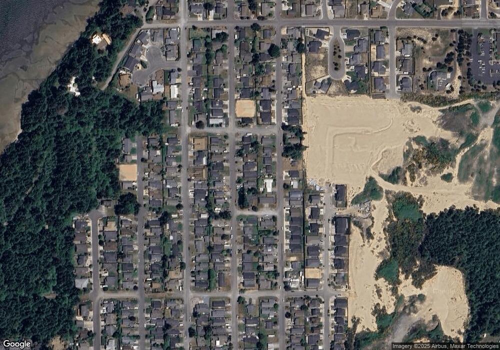
Map
Nearby Homes
- 1123 Crocker St
- 1090 Sanford St
- 1065 Fenwick St
- 1065 Crocker St
- 1125 Augustine Ave
- 1275 Fenwick St
- 1400 Holloway Mews
- 1227 Seagate St
- 1220 Seagate St
- 0 Seagate Ave Unit 24532470
- 2317 Laura Ln
- 1230 Seagate Ave
- 1700 Lakeshore Dr
- 1344 Seagate Ave
- 815 Fenwick St
- 2215 Garfield St
- 1940 Pacific View Ln
- 3390 Lakeshore Dr
- 2180 Hayes St
- 2270 Hayes St
- 1155 Sanford Ave
- 1145 Sanford Ave
- 1145 Sanford St
- 1155 Sanford St
- 1148 Crocker Ave
- 1144 Crocker Ave
- 1602 Howard St
- 1152 Crocker Ave
- 1175 Sanford Ave
- 1140 Sanford Ave
- 1150 Sanford Ave
- 1165 Sanford St
- 1604 Howard St
- 1606 Howard St
- 1156 Crocker Ave
- 1120 Sanford St
- 1110 Sanford Ave
- 1130 Sanford St
- 1170 Sanford Ave
- 1100 Sanford St