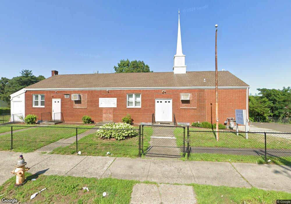
1135 William St Bridge Port, CT 06608
North Bridgeport NeighborhoodEstimated Value: $524,540
Studio
--
Bath
3,955
Sq Ft
$133/Sq Ft
Est. Value
About This Home
This home is located at 1135 William St, Bridge Port, CT 06608 and is currently estimated at $524,540, approximately $132 per square foot. 1135 William St is a home located in Fairfield County with nearby schools including Read School, Harding High School, and Achievement First Bridgeport Academy Elementary School.
Ownership History
Date
Name
Owned For
Owner Type
Purchase Details
Closed on
Oct 20, 2014
Sold by
Holy Ghost Deliverance
Bought by
New Beginning Outreach
Current Estimated Value
Home Financials for this Owner
Home Financials are based on the most recent Mortgage that was taken out on this home.
Original Mortgage
$240,000
Outstanding Balance
$183,927
Interest Rate
4.09%
Mortgage Type
Commercial
Estimated Equity
$340,613
Purchase Details
Closed on
Jul 2, 1999
Sold by
Ord Brid Ldg 289 Loyal
Bought by
Holy Ghst Deliv Ch Lov
Home Financials for this Owner
Home Financials are based on the most recent Mortgage that was taken out on this home.
Original Mortgage
$80,000
Interest Rate
9.38%
Mortgage Type
Commercial
Create a Home Valuation Report for This Property
The Home Valuation Report is an in-depth analysis detailing your home's value as well as a comparison with similar homes in the area
Home Values in the Area
Average Home Value in this Area
Purchase History
| Date | Buyer | Sale Price | Title Company |
|---|---|---|---|
| New Beginning Outreach | $300,000 | -- | |
| New Beginning Outreach | $300,000 | -- | |
| Holy Ghst Deliv Ch Lov | $105,000 | -- | |
| Holy Ghst Deliv Ch Lov | $105,000 | -- |
Source: Public Records
Mortgage History
| Date | Status | Borrower | Loan Amount |
|---|---|---|---|
| Open | Holy Ghst Deliv Ch Lov | $240,000 | |
| Closed | Holy Ghst Deliv Ch Lov | $240,000 | |
| Previous Owner | Holy Ghst Deliv Ch Lov | $80,000 |
Source: Public Records
Tax History
| Year | Tax Paid | Tax Assessment Tax Assessment Total Assessment is a certain percentage of the fair market value that is determined by local assessors to be the total taxable value of land and additions on the property. | Land | Improvement |
|---|---|---|---|---|
| 2025 | -- | $195,650 | $52,840 | $142,810 |
| 2024 | -- | $195,650 | $52,840 | $142,810 |
| 2023 | $0 | $195,650 | $52,840 | $142,810 |
| 2022 | $0 | $195,650 | $52,840 | $142,810 |
| 2021 | $0 | $195,650 | $52,840 | $142,810 |
| 2020 | $0 | $159,360 | $25,050 | $134,310 |
| 2019 | $0 | $159,360 | $25,050 | $134,310 |
| 2018 | $0 | $159,360 | $25,050 | $134,310 |
| 2017 | $0 | $159,360 | $25,050 | $134,310 |
| 2016 | -- | $159,360 | $25,050 | $134,310 |
| 2015 | -- | $183,040 | $52,040 | $131,000 |
| 2014 | $7,724 | $183,040 | $52,040 | $131,000 |
Source: Public Records
Map
Nearby Homes
- 386-388 Huntington Rd
- 744 Park St
- 142 Palm St
- 100-102 Ashley St
- 750 William St
- 2031 E Main St
- 1218 Kossuth St
- 2034 E Main St
- 108 Lindley St Unit 114
- 500 Park St
- 690 William St
- 2092-2096 E Main St
- 2100-2102 E Main St
- 46 York St
- 502 Berkshire Ave
- 619 Brooks St Unit 621
- 34-40 Hayes St
- 1365 E Main St
- 369 Park St
- 274 Park St
- 1109 William St
- 1099 William St
- 1148 William St Unit 108
- 1148 William St Unit 304
- 1148 William St Unit 203
- 1110 William St
- 1089 William St
- 1079 William St
- 1079 William St Unit 1
- 1078 William St
- 1071 William St
- 1088 William St
- 1068 William St
- 1349 Noble Ave
- 1061 William St
- 1058 William St
- 1058 William St Unit 1
- 1058 William St Unit 2
- 1315 Noble Ave Unit 10C
- 1315 Noble Ave Unit 9C
Your Personal Tour Guide
Ask me questions while you tour the home.