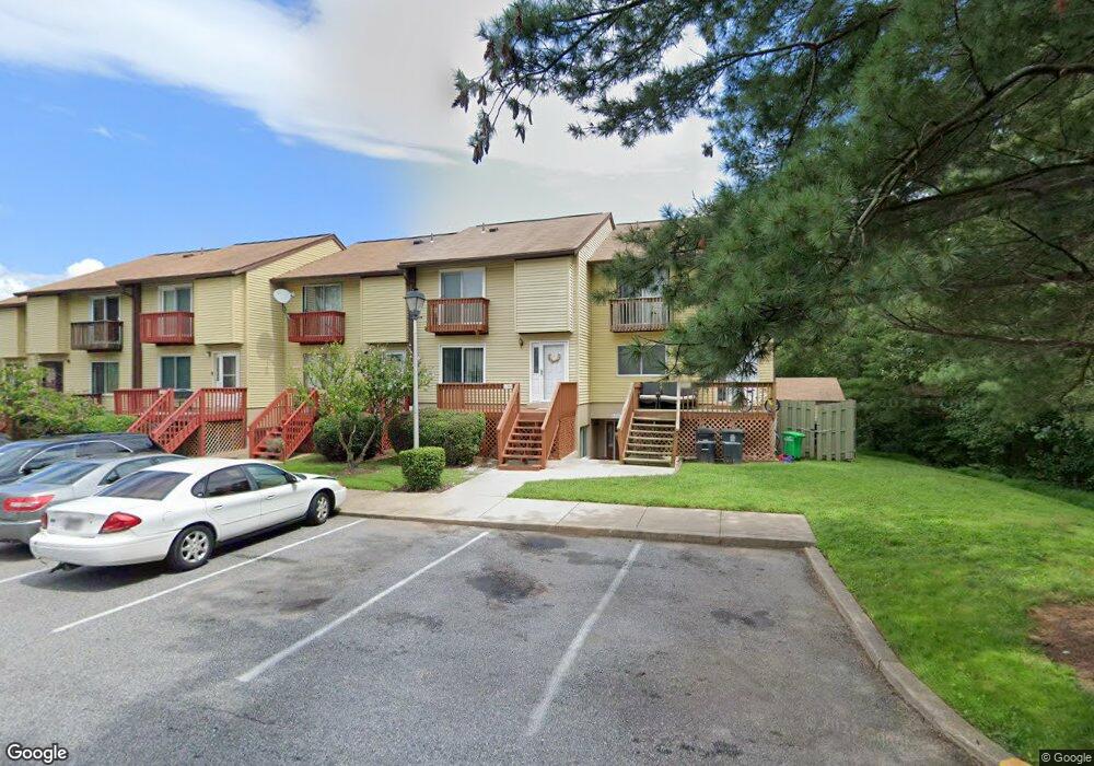
11350 Laurelwalk Dr Laurel, MD 20708
South Laurel NeighborhoodEstimated Value: $262,000 - $273,000
Studio
--
Bath
1,293
Sq Ft
$209/Sq Ft
Est. Value
About This Home
This home is located at 11350 Laurelwalk Dr, Laurel, MD 20708 and is currently estimated at $269,670, approximately $208 per square foot. 11350 Laurelwalk Dr is a home located in Prince George's County with nearby schools including Montpelier Elementary School, Dwight D. Eisenhower Middle School, and Laurel High School.
Ownership History
Date
Name
Owned For
Owner Type
Purchase Details
Closed on
Dec 21, 2004
Sold by
Curtis Carrie O and Oliph Walter W
Bought by
Felton Tracy M
Current Estimated Value
Purchase Details
Closed on
Dec 9, 1994
Sold by
Jones Herbert J
Bought by
Curtis Carrie O
Home Financials for this Owner
Home Financials are based on the most recent Mortgage that was taken out on this home.
Original Mortgage
$72,800
Interest Rate
9%
Purchase Details
Closed on
Oct 2, 1985
Sold by
Witt Michael S
Bought by
Jones Herbert J
Create a Home Valuation Report for This Property
The Home Valuation Report is an in-depth analysis detailing your home's value as well as a comparison with similar homes in the area
Home Values in the Area
Average Home Value in this Area
Purchase History
| Date | Buyer | Sale Price | Title Company |
|---|---|---|---|
| Felton Tracy M | $124,000 | -- | |
| Curtis Carrie O | $74,500 | -- | |
| Jones Herbert J | $51,000 | -- |
Source: Public Records
Mortgage History
| Date | Status | Borrower | Loan Amount |
|---|---|---|---|
| Previous Owner | Curtis Carrie O | $72,800 |
Source: Public Records
Tax History
| Year | Tax Paid | Tax Assessment Tax Assessment Total Assessment is a certain percentage of the fair market value that is determined by local assessors to be the total taxable value of land and additions on the property. | Land | Improvement |
|---|---|---|---|---|
| 2025 | $2,805 | $218,500 | $65,500 | $153,000 |
| 2024 | $2,805 | $210,533 | -- | -- |
| 2023 | $2,253 | $202,567 | $0 | $0 |
| 2022 | $2,164 | $194,600 | $58,300 | $136,300 |
| 2021 | $5,107 | $179,067 | $0 | $0 |
| 2020 | $4,790 | $163,533 | $0 | $0 |
| 2019 | $2,119 | $148,000 | $44,400 | $103,600 |
| 2018 | $2,209 | $142,000 | $0 | $0 |
| 2017 | $2,142 | $136,000 | $0 | $0 |
| 2016 | -- | $130,000 | $0 | $0 |
| 2015 | $1,980 | $130,000 | $0 | $0 |
| 2014 | $1,980 | $130,000 | $0 | $0 |
Source: Public Records
Map
Nearby Homes
- 11386 Laurelwalk Dr
- 11501 Laurelwalk Dr
- 11408 Laurelwalk Dr
- 11440 Laurelwalk Dr
- 9102 Erfurt Ct
- 11605 Basswood Dr
- 12101 Spirit Ave
- 12103 Spirit Ave
- 12105 Spirit Ave
- 12107 Spirit Ave
- 12017 Apache Tears Cir
- 12109 Spirit Ave
- 10112 Snowden Rd
- 12128 Running Bull Way
- 12124 Running Bull Way
- 9303 Ispahan Loop
- 12122 Running Bull Way
- 11707 Balsamwood Terrace
- 12201 Mount Pleasant Dr
- 12513 Laurel Bowie Rd
- 11352 Laurelwalk Dr
- 11348 Laurelwalk Dr
- 11354 Laurelwalk Dr
- 11344 Laurelwalk Dr
- 11334 Laurelwalk Dr
- 11340 Laurelwalk Dr
- 11338 Laurelwalk Dr
- 11342 Laurelwalk Dr
- 11324 Laurelwalk Dr
- 11336 Laurelwalk Dr
- 11320 Laurelwalk Dr
- 11346 Laurelwalk Dr
- 11332 Laurelwalk Dr
- 11360 Laurelwalk Dr
- 11364 Laurelwalk Dr
- 11326 Laurelwalk Dr
- 11330 Laurelwalk Dr
- 11356 Laurelwalk Dr
- 11328 Laurelwalk Dr
- 11366 Laurelwalk Dr
Your Personal Tour Guide
Ask me questions while you tour the home.