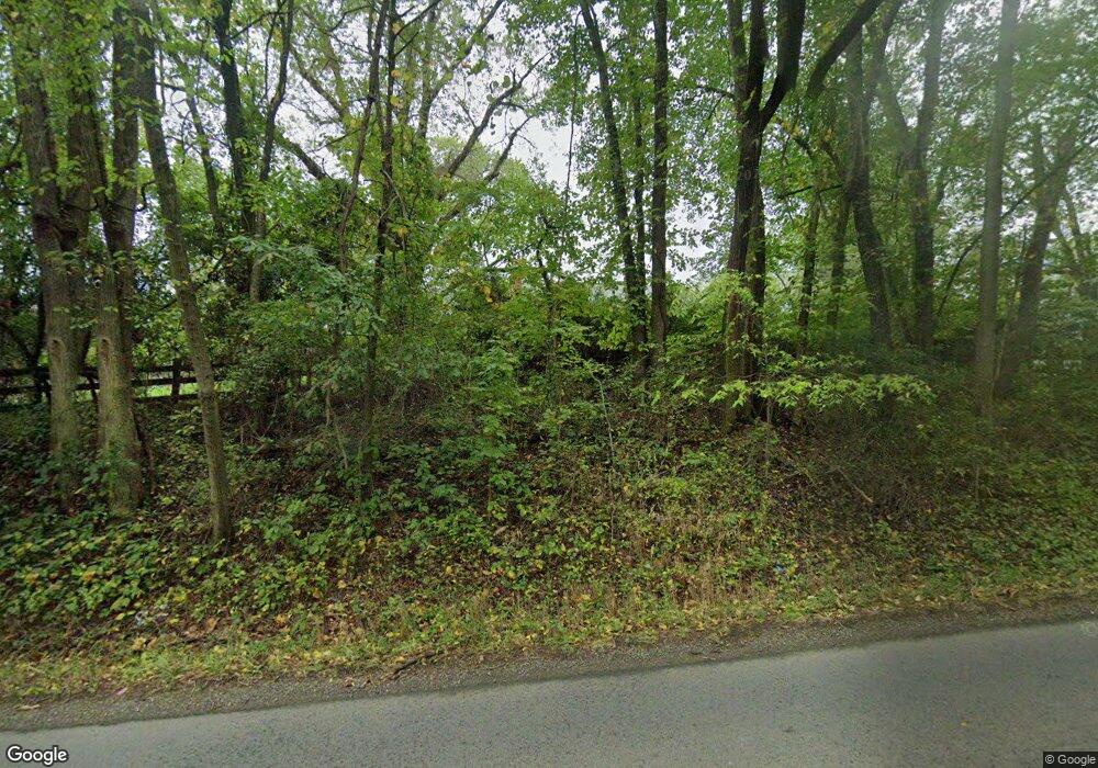
11354 Freemans Ford Rd Remington, VA 22734
Estimated Value: $449,000 - $522,837
3
Beds
2
Baths
1,701
Sq Ft
$279/Sq Ft
Est. Value
About This Home
This home is located at 11354 Freemans Ford Rd, Remington, VA 22734 and is currently estimated at $474,709, approximately $279 per square foot. 11354 Freemans Ford Rd is a home located in Fauquier County with nearby schools including Margaret M. Pierce Elementary School, W.C. Taylor Middle School, and Liberty High School.
Ownership History
Date
Name
Owned For
Owner Type
Purchase Details
Closed on
Sep 2, 2020
Sold by
Hawes James J and Hawes Wendy A
Bought by
Beahm John S and Beahm Abigail K
Current Estimated Value
Home Financials for this Owner
Home Financials are based on the most recent Mortgage that was taken out on this home.
Original Mortgage
$320,000
Outstanding Balance
$284,500
Interest Rate
3%
Mortgage Type
New Conventional
Estimated Equity
$190,209
Create a Home Valuation Report for This Property
The Home Valuation Report is an in-depth analysis detailing your home's value as well as a comparison with similar homes in the area
Home Values in the Area
Average Home Value in this Area
Purchase History
| Date | Buyer | Sale Price | Title Company |
|---|---|---|---|
| Beahm John S | $330,000 | Attorney |
Source: Public Records
Mortgage History
| Date | Status | Borrower | Loan Amount |
|---|---|---|---|
| Open | Beahm John S | $320,000 |
Source: Public Records
Tax History Compared to Growth
Tax History
| Year | Tax Paid | Tax Assessment Tax Assessment Total Assessment is a certain percentage of the fair market value that is determined by local assessors to be the total taxable value of land and additions on the property. | Land | Improvement |
|---|---|---|---|---|
| 2025 | $3,848 | $397,900 | $164,900 | $233,000 |
| 2024 | $3,766 | $397,900 | $164,900 | $233,000 |
| 2023 | $3,607 | $397,900 | $164,900 | $233,000 |
| 2022 | $3,607 | $397,900 | $164,900 | $233,000 |
| 2021 | $2,964 | $296,800 | $139,000 | $157,800 |
| 2020 | $2,964 | $296,800 | $139,000 | $157,800 |
| 2019 | $2,964 | $296,800 | $139,000 | $157,800 |
| 2018 | $2,928 | $296,800 | $139,000 | $157,800 |
| 2016 | $2,519 | $241,100 | $129,000 | $112,100 |
| 2015 | -- | $241,100 | $129,000 | $112,100 |
| 2014 | -- | $241,100 | $129,000 | $112,100 |
Source: Public Records
Map
Nearby Homes
- 11223 Beales Branch Ln
- 8184 Fox Groves Rd
- 11490 Tilia Ln
- 0 Botha Rd Unit VAFQ2016276
- 8158 Botha Rd
- 7168 Botha Rd
- 0 Catlett Rd Unit VAFQ2019302
- 7103 Catlett Rd
- 0 N Duey Unit VAFQ2018412
- 0 N Duey Unit VAFQ2016348
- 202 Wankoma Dr
- 10230 Lees Mill Rd
- 11708 Flag Rock Dr
- 7645 Wankoma Dr
- 18577 Ryland Chapel Rd
- 18611 Ryland Chapel Rd
- 2211 Sedgwick Dr
- 11358 Whipkey Dr
- 18257 Carter Ln
- 105 E Washington St
- 11233 Beales Branch Ln
- 11215 Beales Branch Ln
- 11213 Beales Branch Ln
- 11274 Cardinal Dr
- 11199 Beales Branch Ln
- 11287 Cardinal Dr
- 11262 Cardinal Dr
- 11273 Cardinal Dr
- 11252 Cardinal Dr
- 11259 Cardinal Dr
- 11292 Saint Pauls Rd
- 11238 Cardinal Dr
- 11306 Saint Pauls Rd
- 11249 Cardinal Dr
- 11152 Beales Branch Ln
- 11169 Beales Branch Ln
- 11278 Saint Paul's Rd
- 11278 Saint Pauls Rd
- 11278 St Pauls Rd
- 11228 Cardinal Dr
