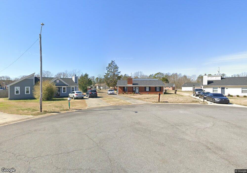
1136 Doris Cir Rock Hill, SC 29730
Estimated Value: $255,000 - $316,000
--
Bed
--
Bath
1,906
Sq Ft
$148/Sq Ft
Est. Value
About This Home
This home is located at 1136 Doris Cir, Rock Hill, SC 29730 and is currently estimated at $281,535, approximately $147 per square foot. 1136 Doris Cir is a home located in York County with nearby schools including Mount Holly Elementary School, Saluda Trail Middle School, and Rock Hill High School.
Ownership History
Date
Name
Owned For
Owner Type
Purchase Details
Closed on
Jun 13, 2006
Sold by
Anderson Properties Parent Co Inc
Bought by
Anderson Clarence
Current Estimated Value
Home Financials for this Owner
Home Financials are based on the most recent Mortgage that was taken out on this home.
Original Mortgage
$96,000
Interest Rate
6.74%
Mortgage Type
New Conventional
Purchase Details
Closed on
Apr 28, 2006
Sold by
Anderson Clarence
Bought by
Crenshaw Brenda L
Home Financials for this Owner
Home Financials are based on the most recent Mortgage that was taken out on this home.
Original Mortgage
$96,000
Interest Rate
6.74%
Mortgage Type
New Conventional
Purchase Details
Closed on
Nov 17, 2005
Sold by
Deutsche Bank National Trust Co
Bought by
Anderson Properties Parent Co Inc
Purchase Details
Closed on
Feb 23, 2005
Sold by
Miller William F and Miller Pearlie B
Bought by
Deutsche Bank National Trust Co and Cdc Mortgage Capital Trust 2002-He2 Mort
Create a Home Valuation Report for This Property
The Home Valuation Report is an in-depth analysis detailing your home's value as well as a comparison with similar homes in the area
Home Values in the Area
Average Home Value in this Area
Purchase History
| Date | Buyer | Sale Price | Title Company |
|---|---|---|---|
| Anderson Clarence | -- | None Available | |
| Crenshaw Brenda L | $120,000 | None Available | |
| Anderson Properties Parent Co Inc | $50,500 | -- | |
| Deutsche Bank National Trust Co | $500 | -- |
Source: Public Records
Mortgage History
| Date | Status | Borrower | Loan Amount |
|---|---|---|---|
| Previous Owner | Crenshaw Brenda L | $96,000 |
Source: Public Records
Tax History Compared to Growth
Tax History
| Year | Tax Paid | Tax Assessment Tax Assessment Total Assessment is a certain percentage of the fair market value that is determined by local assessors to be the total taxable value of land and additions on the property. | Land | Improvement |
|---|---|---|---|---|
| 2024 | $505 | $4,301 | $1,289 | $3,012 |
| 2023 | $506 | $4,301 | $1,289 | $3,012 |
| 2022 | $510 | $4,301 | $1,289 | $3,012 |
| 2021 | -- | $4,301 | $1,289 | $3,012 |
| 2020 | $511 | $4,301 | $0 | $0 |
| 2019 | $398 | $3,740 | $0 | $0 |
| 2018 | $398 | $3,740 | $0 | $0 |
| 2017 | $383 | $3,740 | $0 | $0 |
| 2016 | $380 | $3,740 | $0 | $0 |
| 2014 | $815 | $3,740 | $640 | $3,100 |
| 2013 | $815 | $3,920 | $640 | $3,280 |
Source: Public Records
Map
Nearby Homes
- 1104 Parkmont Ln
- 1212 Shenandoah Cir
- 1209 Shenandoah Cir
- 1361 Mount Holly Rd
- 263 Fairway Cir
- 264 Abigail Ct
- 1182 Saluda St
- 288 Fairway Cir
- 831 Yale St Unit 30
- 805 Brunswick Dr
- 1514 Van Ness Rd
- 1054 S Jones Avenue Extension
- 1025 S Jones Avenue Extension
- 846 Mallory Dr
- 914 Bunker Trace
- 706 Blake St
- 753 Schuyler Dr
- 172 Fairway Cir
- 421 Lakeside Dr
- 922 Bunker Trace
- 1140 Doris Cir Unit 21
- 1140 Doris Cir
- 1141 Doris Cir
- 922 Southland Dr
- 916 Southland Dr
- 928 Southland Dr
- 912 Southland Dr
- 1144 Doris Cir
- 1127 Pearson Dr
- 932 Southland Dr
- 932 Southland Dr Unit 7
- 1121 Pearson Dr
- 1145 Doris Cir
- 1133 Pearson Dr
- 1139 Pearson Dr
- 906 Southland Dr
- 938 Southland Dr
- 1149 Doris Cir
- 1145 Pearson Dr
- 1154 Doris Ct