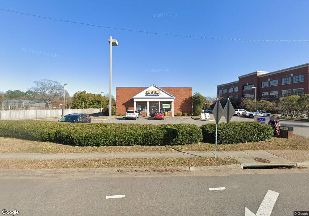
1136 Independence Blvd Virginia Beach, VA 23455
Thoroughgood NeighborhoodEstimated Value: $3,231,706
--
Bed
--
Bath
7,021
Sq Ft
$460/Sq Ft
Est. Value
About This Home
This home is located at 1136 Independence Blvd, Virginia Beach, VA 23455 and is currently estimated at $3,231,706, approximately $460 per square foot. 1136 Independence Blvd is a home located in Virginia Beach City with nearby schools including Pembroke Meadows Elementary School, Independence Middle School, and Princess Anne High School.
Ownership History
Date
Name
Owned For
Owner Type
Purchase Details
Closed on
Feb 15, 2007
Sold by
Carol Holt Verrier - Tr
Bought by
Battlefield Ind'L Park Assoc
Current Estimated Value
Create a Home Valuation Report for This Property
The Home Valuation Report is an in-depth analysis detailing your home's value as well as a comparison with similar homes in the area
Home Values in the Area
Average Home Value in this Area
Purchase History
| Date | Buyer | Sale Price | Title Company |
|---|---|---|---|
| Battlefield Ind'L Park Assoc | $2,100,000 | -- |
Source: Public Records
Tax History Compared to Growth
Tax History
| Year | Tax Paid | Tax Assessment Tax Assessment Total Assessment is a certain percentage of the fair market value that is determined by local assessors to be the total taxable value of land and additions on the property. | Land | Improvement |
|---|---|---|---|---|
| 2025 | $15,663 | $1,608,700 | $963,600 | $645,100 |
| 2024 | $15,663 | $1,614,700 | $963,600 | $651,100 |
| 2023 | $15,847 | $1,600,700 | $963,600 | $637,100 |
| 2022 | $15,696 | $1,585,500 | $963,600 | $621,900 |
| 2021 | $15,785 | $1,594,400 | $963,600 | $630,800 |
| 2020 | $16,107 | $1,583,000 | $963,600 | $619,400 |
| 2019 | $16,159 | $1,600,200 | $920,800 | $679,400 |
| 2018 | $16,042 | $1,600,200 | $920,800 | $679,400 |
| 2017 | $16,305 | $1,626,400 | $920,800 | $705,600 |
| 2016 | $15,910 | $1,607,100 | $920,800 | $686,300 |
| 2015 | $15,474 | $1,563,000 | $872,900 | $690,100 |
| 2014 | $14,057 | $1,567,100 | $872,900 | $694,200 |
Source: Public Records
Map
Nearby Homes
- 1052 Miles Standish Rd
- 4604 Copperfield Rd
- 1121 Witchgate Ct
- 1228 Captain Adams Ct
- 4504 Old English Cir
- 1020 Miles Standish Rd
- 1025 Walt Whitman Way
- 904 Ewell Rd
- 4660 Copperfield Rd
- 1364 Sir Richard Rd
- 4640 Miles Standish Rd
- 1029 Ferry Plantation Rd
- 1144 Revere Point Rd
- 1448 Iredell Ct
- 1005 Ferry Plantation Rd
- 1001 Ferry Plantation Rd
- 4712 White House Ln
- 4833 Linshaw Ln
- 4721 Haygood Point Rd
- 828 de La Fayette Ct
- 1128 Independence Blvd
- 1144 Independence Blvd
- 1116 Independence Blvd
- 1145 Independence Blvd
- 1143 Independence Blvd
- 4548 Wishart Rd
- 1141 Independence Blvd
- 1100 Independence Blvd
- 1147 Independence Blvd
- 1139 Independence Blvd
- 1135 Independence Blvd
- 1133 Independence Blvd
- 1131 Independence Blvd
- 1123 Independence Blvd
- 1129 Independence Blvd
- 4536 Wishart Rd
- 1127 Independence Blvd
- 1060 Miles Standish Rd
- 1056 Miles Standish Rd
- 4015 Mason St