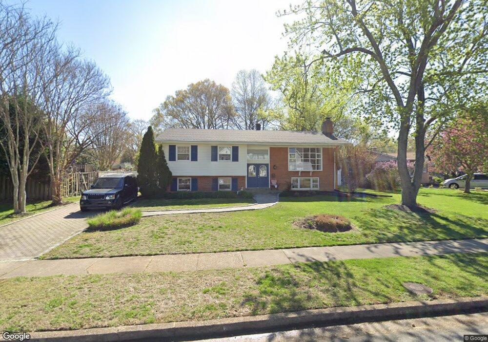
1136 Neal Dr Alexandria, VA 22308
Fort Hunt NeighborhoodEstimated Value: $763,000 - $891,000
5
Beds
3
Baths
2,776
Sq Ft
$304/Sq Ft
Est. Value
About This Home
This home is located at 1136 Neal Dr, Alexandria, VA 22308 and is currently estimated at $844,399, approximately $304 per square foot. 1136 Neal Dr is a home located in Fairfax County with nearby schools including Sandburg Middle, West Potomac High School, and The Aquinas Montessori School.
Ownership History
Date
Name
Owned For
Owner Type
Purchase Details
Closed on
May 16, 2001
Sold by
Palmer George L
Bought by
Oveisitork Farokh
Current Estimated Value
Home Financials for this Owner
Home Financials are based on the most recent Mortgage that was taken out on this home.
Original Mortgage
$216,600
Outstanding Balance
$80,878
Interest Rate
7.03%
Estimated Equity
$763,521
Purchase Details
Closed on
Apr 17, 1995
Sold by
Nigh Helen P
Bought by
Palmer George L
Home Financials for this Owner
Home Financials are based on the most recent Mortgage that was taken out on this home.
Original Mortgage
$70,452
Interest Rate
8.49%
Create a Home Valuation Report for This Property
The Home Valuation Report is an in-depth analysis detailing your home's value as well as a comparison with similar homes in the area
Home Values in the Area
Average Home Value in this Area
Purchase History
| Date | Buyer | Sale Price | Title Company |
|---|---|---|---|
| Oveisitork Farokh | $308,750 | -- | |
| Palmer George L | $213,330 | -- |
Source: Public Records
Mortgage History
| Date | Status | Borrower | Loan Amount |
|---|---|---|---|
| Open | Oveisitork Farokh | $216,600 | |
| Previous Owner | Palmer George L | $70,452 | |
| Closed | Palmer George L | $49,300 |
Source: Public Records
Tax History Compared to Growth
Tax History
| Year | Tax Paid | Tax Assessment Tax Assessment Total Assessment is a certain percentage of the fair market value that is determined by local assessors to be the total taxable value of land and additions on the property. | Land | Improvement |
|---|---|---|---|---|
| 2025 | $2,735 | $755,750 | $392,000 | $363,750 |
| 2024 | $2,735 | $752,750 | $389,000 | $363,750 |
| 2023 | $8,985 | $752,750 | $389,000 | $363,750 |
| 2022 | $8,054 | $662,780 | $338,000 | $324,780 |
| 2021 | $7,955 | $643,780 | $319,000 | $324,780 |
| 2020 | $7,476 | $600,410 | $282,000 | $318,410 |
| 2019 | $6,999 | $558,820 | $264,000 | $294,820 |
| 2018 | $6,426 | $558,820 | $264,000 | $294,820 |
| 2017 | $6,833 | $558,820 | $264,000 | $294,820 |
| 2016 | $6,819 | $558,820 | $264,000 | $294,820 |
| 2015 | $6,396 | $542,230 | $256,000 | $286,230 |
| 2014 | $5,935 | $502,030 | $237,000 | $265,030 |
Source: Public Records
Map
Nearby Homes
- 8305 Fort Hunt Rd
- 8280 Colling Manor Ct
- 8276 Colling Manor Ct
- 8264 Colling Manor Ct
- 8281 Colling Manor Ct
- Hampton II Plan at Collingwood Chase
- 8260 Colling Manor Ct
- 1700 Collingwood Rd
- 8047 Fairfax Rd
- 8119 Stacey Rd
- 8123 Stacey Rd
- 8127 Stacey Rd
- 8602 Cushman Place
- 836 Herbert Springs Rd
- 8118 Stacey Rd
- 1600 Lafayette Dr
- 8413 W Boulevard Dr
- 8126 Stacey Rd
- 8601 Buckboard Dr
- 8628 Plymouth Rd
- 1134 Neal Dr
- 1132 Neal Dr
- 1119 Collingwood Rd
- 1133 Anesbury Ln
- 1201 Collingwood Rd
- 1137 Neal Dr
- 1131 Anesbury Ln
- 1130 Neal Dr
- 1133 Neal Dr
- 1135 Neal Dr
- 1129 Anesbury Ln
- 1203 Collingwood Rd
- 1122 Collingwood Rd
- 1120 Collingwood Rd
- 1131 Neal Dr
- 1128 Neal Dr
- 1200 Collingwood Rd
- 1117 Collingwood Rd
- 1132 Anesbury Ln
- 1224 Falster Rd