11360 N Ellicott Hwy Calhan, CO 80808
Estimated Value: $522,096
5
Beds
3
Baths
1,287
Sq Ft
$406/Sq Ft
Est. Value
About This Home
This home is located at 11360 N Ellicott Hwy, Calhan, CO 80808 and is currently priced at $522,096, approximately $405 per square foot. 11360 N Ellicott Hwy is a home located in El Paso County with nearby schools including Calhan Elementary School, Calhan Middle School, and Calhan Secondary School.
Ownership History
Date
Name
Owned For
Owner Type
Purchase Details
Closed on
Apr 30, 2024
Sold by
Westfall Desiree
Bought by
Westfall Desiree and Westfall Jeffrey
Current Estimated Value
Purchase Details
Closed on
Jun 20, 2003
Sold by
Reynolds Richard L and Reynolds Sharon A
Bought by
Westfall Jeffrey S and Westfall Desiree D
Home Financials for this Owner
Home Financials are based on the most recent Mortgage that was taken out on this home.
Original Mortgage
$70,000
Interest Rate
5.44%
Mortgage Type
Purchase Money Mortgage
Purchase Details
Closed on
Nov 25, 2002
Sold by
Westfall Jeffrey S
Bought by
Westfall Desiree D
Home Financials for this Owner
Home Financials are based on the most recent Mortgage that was taken out on this home.
Original Mortgage
$191,000
Interest Rate
6.13%
Create a Home Valuation Report for This Property
The Home Valuation Report is an in-depth analysis detailing your home's value as well as a comparison with similar homes in the area
Home Values in the Area
Average Home Value in this Area
Purchase History
| Date | Buyer | Sale Price | Title Company |
|---|---|---|---|
| Westfall Desiree | -- | None Listed On Document | |
| Westfall Jeffrey S | $70,000 | Land Title Guarantee Company | |
| Westfall Desiree D | -- | -- |
Source: Public Records
Mortgage History
| Date | Status | Borrower | Loan Amount |
|---|---|---|---|
| Previous Owner | Westfall Jeffrey S | $70,000 | |
| Previous Owner | Westfall Desiree D | $191,000 |
Source: Public Records
Tax History Compared to Growth
Tax History
| Year | Tax Paid | Tax Assessment Tax Assessment Total Assessment is a certain percentage of the fair market value that is determined by local assessors to be the total taxable value of land and additions on the property. | Land | Improvement |
|---|---|---|---|---|
| 2023 | $2,178 | $46,520 | $11,630 | $34,890 |
| 2022 | $1,576 | $29,740 | $9,360 | $20,380 |
| 2021 | $1,367 | $30,600 | $9,630 | $20,970 |
| 2020 | $1,187 | $25,850 | $8,080 | $17,770 |
| 2019 | $1,163 | $25,850 | $8,080 | $17,770 |
| 2018 | $995 | $21,500 | $6,240 | $15,260 |
| 2017 | $990 | $21,500 | $6,240 | $15,260 |
| 2016 | $952 | $20,670 | $6,000 | $14,670 |
| 2015 | $951 | $20,670 | $6,000 | $14,670 |
| 2014 | $869 | $18,810 | $6,000 | $12,810 |
Source: Public Records
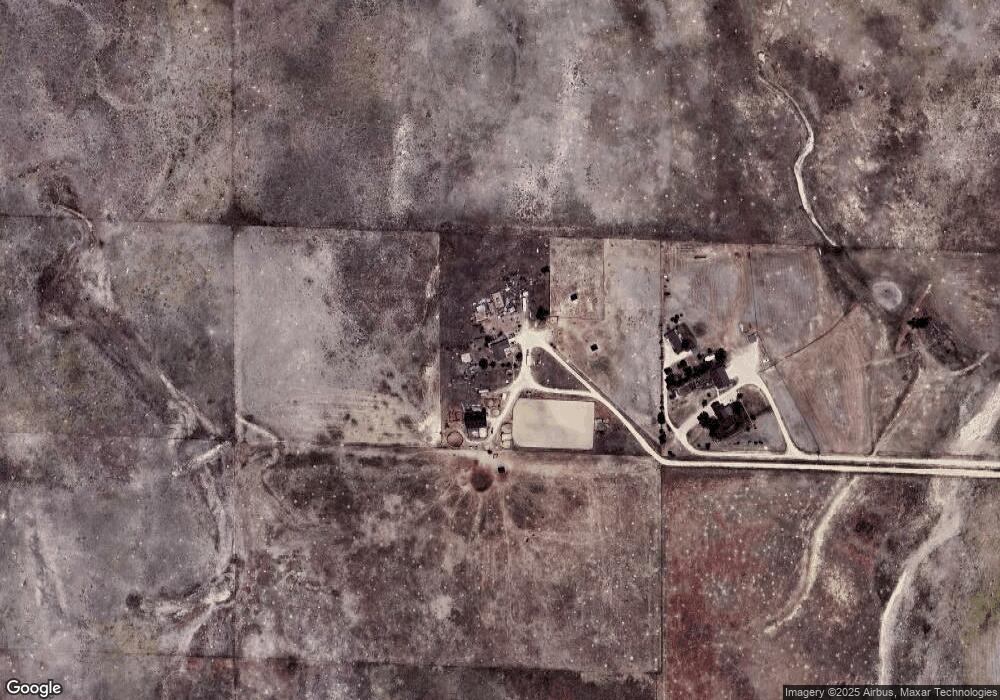
Map
Nearby Homes
- 23165 Farmhouse Ct
- 22945 Farmhouse Ct
- 22835 Farmhouse Ct
- Tract 7 Mcclelland Rd
- Tract 6 Mcclelland Rd
- Tract 21 Mcclelland Rd
- 10165 Mcclelland Rd
- 13731 N Ellicott Hwy
- 3780 Log Rd
- 3920 Log Rd
- 21875 E Highway 24 Hwy
- 23795 Fastbrook Ln
- 23450 Fastbrook Ln
- 21785 Spencer Rd
- 21150 Sampson Rd
- 13820 Noah Abel Point
- 23580 Murphy Rd
- 9235 Guthrie Rd
- 20533 Blue Springs View
- 0 Ellitcott Hwy Unit REC3023996
- 11520 N Ellicott Hwy
- 23482 Scott Rd
- 23486 Scott Rd
- 11860 W Range View Dr
- 12065 N Ellicott Hwy
- 11835 W Range View Dr
- 23055 Farmhouse Ct
- 22950 Scott Rd
- 23423 Scott Rd
- 0 Scott Rd
- 23399 Scott Rd
- 11950 W Range View Dr
- 11805 W Range View Dr
- 12175 N Ellicott Hwy
- 23605 Scott Rd
- 12040 W Range View Dr
- 11875 Mcclelland Rd
- 11660 E Range View Dr
- 11580 E Range View Dr
- 23850 Scott Rd