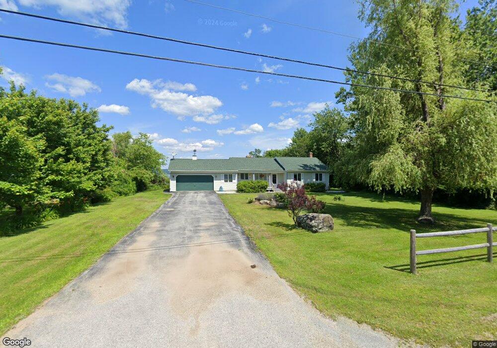
1137 Cape Jellison Rd Stockton Springs, ME 04981
Estimated Value: $358,000 - $753,000
3
Beds
2
Baths
1,391
Sq Ft
$400/Sq Ft
Est. Value
About This Home
This home is located at 1137 Cape Jellison Rd, Stockton Springs, ME 04981 and is currently estimated at $556,601, approximately $400 per square foot. 1137 Cape Jellison Rd is a home.
Ownership History
Date
Name
Owned For
Owner Type
Purchase Details
Closed on
Sep 30, 2024
Sold by
Broadley Ret and Broadley
Bought by
Fay David E and Fay Michelle A
Current Estimated Value
Home Financials for this Owner
Home Financials are based on the most recent Mortgage that was taken out on this home.
Original Mortgage
$448,000
Outstanding Balance
$443,387
Interest Rate
6.46%
Mortgage Type
Purchase Money Mortgage
Estimated Equity
$113,214
Create a Home Valuation Report for This Property
The Home Valuation Report is an in-depth analysis detailing your home's value as well as a comparison with similar homes in the area
Home Values in the Area
Average Home Value in this Area
Purchase History
| Date | Buyer | Sale Price | Title Company |
|---|---|---|---|
| Fay David E | -- | None Available | |
| Fay David E | -- | None Available |
Source: Public Records
Mortgage History
| Date | Status | Borrower | Loan Amount |
|---|---|---|---|
| Open | Fay David E | $448,000 | |
| Closed | Fay David E | $448,000 |
Source: Public Records
Tax History Compared to Growth
Tax History
| Year | Tax Paid | Tax Assessment Tax Assessment Total Assessment is a certain percentage of the fair market value that is determined by local assessors to be the total taxable value of land and additions on the property. | Land | Improvement |
|---|---|---|---|---|
| 2024 | $6,633 | $399,550 | $172,800 | $226,750 |
| 2023 | $5,186 | $233,600 | $110,580 | $123,020 |
| 2022 | $4,765 | $233,600 | $110,580 | $123,020 |
| 2021 | $4,773 | $235,130 | $110,580 | $124,550 |
| 2020 | $4,844 | $235,130 | $110,580 | $124,550 |
| 2019 | $4,773 | $235,130 | $110,580 | $124,550 |
| 2018 | $4,781 | $236,670 | $110,580 | $126,090 |
| 2017 | $4,852 | $236,670 | $110,580 | $126,090 |
| 2016 | $4,669 | $238,210 | $110,580 | $127,630 |
| 2015 | $4,514 | $238,210 | $110,580 | $127,630 |
| 2014 | $3,803 | $197,550 | $105,740 | $91,810 |
| 2013 | $3,556 | $197,550 | $105,740 | $91,810 |
Source: Public Records
Map
Nearby Homes
- 40 Loon Landing
- Lot #7 Cape Jellison Rd
- 49 Fort Point Cove Rd
- 7 Winchester Way
- 26 Heights Rd
- 96 Pirates Cove Rd
- Lot 157 Denslow Rd
- 62 Harborview Dr
- 271 U S Route 1
- 25 School St
- 45 Harborview Dr
- 8 Clipper Ln
- 270 Main St
- 10 Church St
- 770 Cape Jellison Rd
- 38 Church St
- 38 Osprey Reach Rd
- 95 Osprey Reach Rd
- 40 Church St
- 115 Rd
- 1139 Cape Jellison Rd
- 1136 Cape Jellison Rd
- 1118 Cape Jellison Rd
- lot 205 Cape Jellison Rd
- 1150 Cape Jellison Rd
- 1165 Cape Jellison Rd
- 1153 Cape Jellison Rd
- 1159 Cape Jellison Rd
- 1167 Cape Jellison Rd
- 1167 Cape Jellison Rd
- 1090 Cape Jellison Rd
- 1089 Cape Jellison Rd
- 1194 Cape Jellison Rd
- 5 Robbins Rd
- 21 Robbins Rd
- 1081 Cape Jellison Rd
- 29 Robbins Rd
- 003 Cape Jellison Rd
- 1209 Cape Jellison Rd
- 1072 Cape Jellison Rd