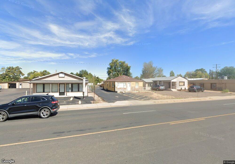
1137 E Bridge St Brighton, CO 80601
Estimated Value: $372,452
Studio
1
Bath
1,296
Sq Ft
$287/Sq Ft
Est. Value
About This Home
This home is located at 1137 E Bridge St, Brighton, CO 80601 and is currently estimated at $372,452, approximately $287 per square foot. 1137 E Bridge St is a home located in Adams County with nearby schools including Northeast Elementary School, Overland Trail Middle School, and Brighton High School.
Ownership History
Date
Name
Owned For
Owner Type
Purchase Details
Closed on
Apr 23, 2018
Sold by
5 G Llc
Bought by
Lanzen Rachel L
Current Estimated Value
Purchase Details
Closed on
Sep 15, 2014
Sold by
The International Church Of The Four Squ
Bought by
5 G Llc
Home Financials for this Owner
Home Financials are based on the most recent Mortgage that was taken out on this home.
Original Mortgage
$163,600
Interest Rate
4.18%
Mortgage Type
Commercial
Purchase Details
Closed on
Apr 13, 2009
Sold by
Warfield Katie
Bought by
International Church Of The Foursquare G
Create a Home Valuation Report for This Property
The Home Valuation Report is an in-depth analysis detailing your home's value as well as a comparison with similar homes in the area
Home Values in the Area
Average Home Value in this Area
Purchase History
| Date | Buyer | Sale Price | Title Company |
|---|---|---|---|
| Lanzen Rachel L | $262,220 | Land Title Guarantee | |
| 5 G Llc | $192,500 | Fidelity National Title Ins | |
| International Church Of The Foursquare G | $155,000 | None Available |
Source: Public Records
Mortgage History
| Date | Status | Borrower | Loan Amount |
|---|---|---|---|
| Previous Owner | 5 G Llc | $163,600 |
Source: Public Records
Tax History
| Year | Tax Paid | Tax Assessment Tax Assessment Total Assessment is a certain percentage of the fair market value that is determined by local assessors to be the total taxable value of land and additions on the property. | Land | Improvement |
|---|---|---|---|---|
| 2025 | $11,562 | $102,410 | $21,250 | $81,160 |
| 2024 | $11,562 | $110,610 | $22,950 | $87,660 |
| 2023 | $11,507 | $111,880 | $22,320 | $89,560 |
| 2022 | $8,515 | $77,520 | $20,590 | $56,930 |
| 2021 | $7,757 | $77,520 | $20,590 | $56,930 |
| 2020 | $7,570 | $76,650 | $19,720 | $56,930 |
| 2019 | $7,577 | $76,650 | $19,720 | $56,930 |
| 2018 | $5,179 | $52,370 | $19,140 | $33,230 |
| 2017 | $5,172 | $52,370 | $19,140 | $33,230 |
| 2016 | $4,065 | $41,020 | $8,700 | $32,320 |
| 2015 | $4,057 | $41,020 | $8,700 | $32,320 |
| 2014 | $1,133 | $39,280 | $6,960 | $32,320 |
Source: Public Records
Map
Nearby Homes
- 960 Walnut St
- 935 Walnut St
- 130 S 14th Avenue Dr
- 126 S 9th Ave
- 175 S 10th Ave
- 244 S 13th Ave
- 263 N 11th Ave
- 719 Walnut St
- 276 N 9th Ave
- 316 N 10th Ave
- 285 S 8th Ave
- 338 N 9th Ave
- 359 N 16th Ave
- 335 N 7th Ave
- 507 Eastern Ave
- 107 S 4th Ave
- 113 S 4th Ave
- 63 S 22nd Ave Unit A1-B8
- 135 S 3rd Ave
- 219 S 3rd Ave
Your Personal Tour Guide
Ask me questions while you tour the home.