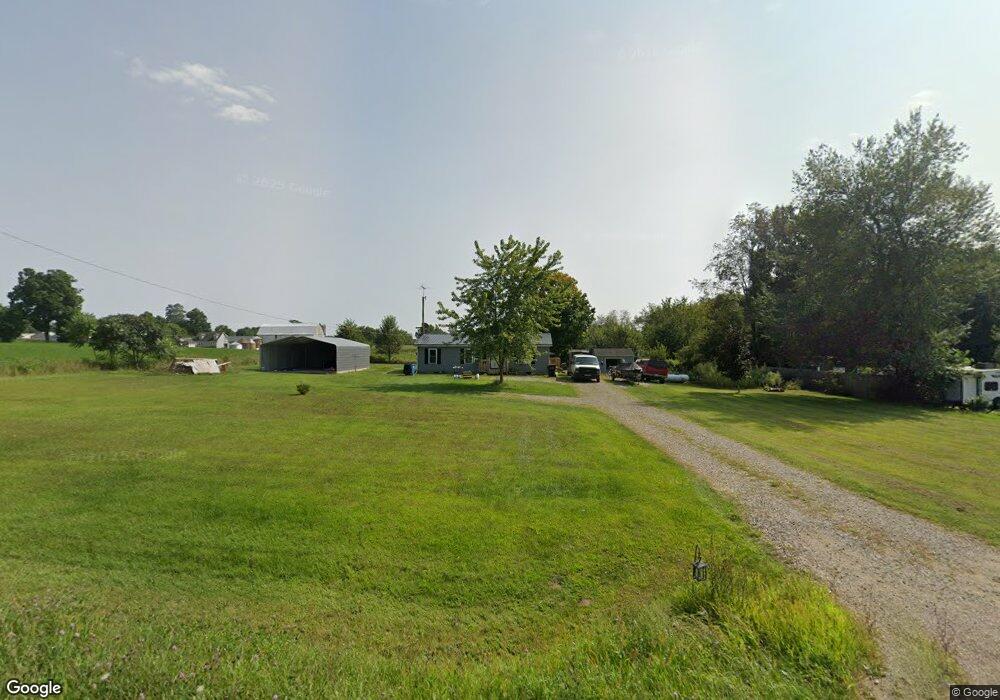
1137 Jonesville Rd Quincy, MI 49082
Estimated Value: $117,000 - $190,000
2
Beds
2
Baths
1,040
Sq Ft
$148/Sq Ft
Est. Value
About This Home
This home is located at 1137 Jonesville Rd, Quincy, MI 49082 and is currently estimated at $153,847, approximately $147 per square foot. 1137 Jonesville Rd is a home located in Branch County with nearby schools including Jennings Elementary School, Quincy Middle School, and Quincy High School.
Ownership History
Date
Name
Owned For
Owner Type
Purchase Details
Closed on
Jul 16, 2004
Sold by
Brown Kim and Brown Susan
Bought by
Brown Tyler
Current Estimated Value
Purchase Details
Closed on
Jul 15, 2004
Sold by
Chase Manhattan Mortgage Corp
Bought by
Brown Kim H and Brown Susan K
Purchase Details
Closed on
Mar 21, 2002
Sold by
Napier Joey M and Napier Kacee A
Bought by
Chase Manhattan Mortgage Corp
Purchase Details
Closed on
May 26, 2000
Bought by
Napier Joey M and Napier Kacee A
Purchase Details
Closed on
Jun 24, 1999
Sold by
Delegrange Nathan and Delegrange Marjorie
Bought by
Cherry Tree Homes
Create a Home Valuation Report for This Property
The Home Valuation Report is an in-depth analysis detailing your home's value as well as a comparison with similar homes in the area
Home Values in the Area
Average Home Value in this Area
Purchase History
| Date | Buyer | Sale Price | Title Company |
|---|---|---|---|
| Brown Tyler | -- | None Available | |
| Erickson Chadwin | -- | -- | |
| Brown Kim H | $50,000 | -- | |
| Chase Manhattan Mortgage Corp | $69,300 | -- | |
| Napier Joey M | $76,000 | -- | |
| Cherry Tree Homes | $15,000 | -- |
Source: Public Records
Tax History Compared to Growth
Tax History
| Year | Tax Paid | Tax Assessment Tax Assessment Total Assessment is a certain percentage of the fair market value that is determined by local assessors to be the total taxable value of land and additions on the property. | Land | Improvement |
|---|---|---|---|---|
| 2025 | $756 | $57,392 | $0 | $0 |
| 2024 | $276 | $55,971 | $0 | $0 |
| 2023 | $250 | $49,644 | $0 | $0 |
| 2022 | $250 | $40,777 | $0 | $0 |
| 2021 | -- | $38,711 | $0 | $0 |
| 2020 | -- | $37,726 | $0 | $0 |
| 2019 | -- | $34,920 | $0 | $0 |
| 2018 | -- | $27,264 | $0 | $0 |
| 2017 | -- | $26,808 | $0 | $0 |
| 2016 | -- | $20,574 | $0 | $0 |
| 2015 | -- | $23,376 | $0 | $0 |
| 2014 | -- | $21,078 | $0 | $0 |
| 2013 | -- | $19,890 | $0 | $0 |
Source: Public Records
Map
Nearby Homes
- 832 Clarendon Rd
- 4251 Squires Rd
- 1085 E Chicago Rd Unit B
- 1085 E Chicago Rd Unit A
- 1085 E Chicago Rd
- 1014 Aguadero Pkwy
- 69 N Main St
- 9 Cole St
- 34 Park St
- 42 W Chicago St
- 46 W Chicago St
- 34 W Liberty St
- 78 Taylor St
- 44 Berry St
- 424 Doris St
- 970 Dean Rd
- 912 Beckwith Shore
- 988 Williams Dr
- 238 Maple Rd
- 0 Wildwood Rd
- 1135 Jonesville Rd
- 690 N Briggs Rd
- 1125 Jonesville Rd Unit 1
- 1160 Jonesville Rd
- 674 N Briggs Rd
- 721 N Briggs Rd
- 1118 Jonesville Rd
- 670 N Briggs Rd
- 714 Stone Willow Ln
- 1123 Beagle Ln
- 735 N Briggs Rd
- 716 Stone Willow Ln
- 1098 Jonesville Rd
- 1095 Jonesville Rd
- 1095 Jonesville Rd
- 1094 Jonesville Rd
- 1092 Jonesville Rd
- 1090 Jonesville Rd
- 747 N Briggs Rd
- 1088 Jonesville Rd