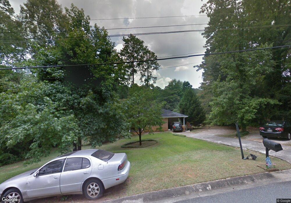
1137 Newport Rd Macon, GA 31210
Estimated Value: $207,992 - $246,000
4
Beds
2
Baths
1,723
Sq Ft
$128/Sq Ft
Est. Value
About This Home
This home is located at 1137 Newport Rd, Macon, GA 31210 and is currently estimated at $219,748, approximately $127 per square foot. 1137 Newport Rd is a home located in Bibb County with nearby schools including Lane Elementary School, Howard Middle School, and Howard High School.
Ownership History
Date
Name
Owned For
Owner Type
Purchase Details
Closed on
Apr 28, 2006
Sold by
Davis Kelly
Bought by
Young Latanya S
Current Estimated Value
Home Financials for this Owner
Home Financials are based on the most recent Mortgage that was taken out on this home.
Original Mortgage
$101,704
Outstanding Balance
$57,953
Interest Rate
6.31%
Mortgage Type
FHA
Estimated Equity
$161,795
Purchase Details
Closed on
Jul 20, 1997
Create a Home Valuation Report for This Property
The Home Valuation Report is an in-depth analysis detailing your home's value as well as a comparison with similar homes in the area
Home Values in the Area
Average Home Value in this Area
Purchase History
| Date | Buyer | Sale Price | Title Company |
|---|---|---|---|
| Young Latanya S | $103,300 | None Avilebel | |
| -- | $76,000 | -- |
Source: Public Records
Mortgage History
| Date | Status | Borrower | Loan Amount |
|---|---|---|---|
| Open | Young Latanya S | $101,704 |
Source: Public Records
Tax History Compared to Growth
Tax History
| Year | Tax Paid | Tax Assessment Tax Assessment Total Assessment is a certain percentage of the fair market value that is determined by local assessors to be the total taxable value of land and additions on the property. | Land | Improvement |
|---|---|---|---|---|
| 2025 | $1,467 | $66,712 | $11,750 | $54,962 |
| 2024 | $1,517 | $66,712 | $11,750 | $54,962 |
| 2023 | $638 | $50,112 | $9,400 | $40,712 |
| 2022 | $1,557 | $51,960 | $9,678 | $42,282 |
| 2021 | $1,764 | $53,418 | $9,678 | $43,740 |
| 2020 | $1,353 | $41,860 | $7,743 | $34,117 |
| 2019 | $1,365 | $41,860 | $7,743 | $34,117 |
| 2018 | $2,270 | $41,860 | $7,743 | $34,117 |
| 2017 | $1,270 | $40,890 | $7,356 | $33,534 |
| 2016 | $1,008 | $36,128 | $6,968 | $29,160 |
| 2015 | $1,317 | $33,896 | $6,194 | $27,702 |
| 2014 | $1,566 | $33,896 | $6,194 | $27,702 |
Source: Public Records
Map
Nearby Homes
- 1197 Matthews Place
- 1246 Newport Rd
- 1161 Ousley Place
- 161 Ten Knolls Dr
- 938 Lundy Terrace
- 3602 Northside Dr
- 3500 Northside Dr
- 3622 Northside Dr
- 3640 Northside Dr
- 3678 Northside Dr
- 880 Winchester Cir
- 753 Lokchapee Dr
- 731 Lokchapee Dr
- 636 Lokchapee Ridge
- 627 Lokchapee Ridge
- 859 Forest Lake Dr S
- 825 Forest Lake Dr S
- 870 Glen Hill Ct
- 770 Windsor Rd
- 673 Commanche Dr
- 1129 Newport Rd
- 1151 Newport Rd
- 1172 Matthews Place
- 1184 Matthews Place
- 1164 Matthews Place
- 1132 Newport Rd
- 1144 Newport Rd
- 1123 Newport Rd
- 1124 Newport Rd
- 1154 Newport Rd
- 1158 Matthews Place
- 1179 Matthews Place
- 1117 Newport Rd
- 1191 Matthews Place
- 1185 Matthews Place
- 1173 Matthews Place
- 1152 Matthews Place
- 1114 Newport Rd
- 1167 Matthews Place
- 1200 Newport Rd