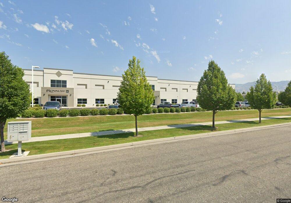
1137 W 1700 N Logan, UT 84321
Bridger Neighborhood
--
Bed
--
Bath
30,606
Sq Ft
4.68
Acres
About This Home
This home is located at 1137 W 1700 N, Logan, UT 84321. 1137 W 1700 N is a home located in Cache County with nearby schools including Bridger School, Mount Logan Middle School, and Logan High School.
Ownership History
Date
Name
Owned For
Owner Type
Purchase Details
Closed on
Apr 5, 2018
Sold by
Roderick Enterprises
Bought by
Roderick Enterprises
Purchase Details
Closed on
Mar 14, 2018
Sold by
Enterprises Roderick
Bought by
Enterprises Roderick
Purchase Details
Closed on
Nov 4, 2015
Sold by
Roderick Enterprises
Bought by
Roderick Enterprises
Purchase Details
Closed on
Sep 25, 2015
Sold by
Roderick Enterprises
Bought by
Roderick Enterprises
Purchase Details
Closed on
Dec 30, 2013
Sold by
Frontier Scientific Inc
Bought by
Roderick Enterprises
Purchase Details
Closed on
Sep 7, 2001
Sold by
Frontier Scientific Inc
Bought by
Ltk Llc
Create a Home Valuation Report for This Property
The Home Valuation Report is an in-depth analysis detailing your home's value as well as a comparison with similar homes in the area
Home Values in the Area
Average Home Value in this Area
Purchase History
| Date | Buyer | Sale Price | Title Company |
|---|---|---|---|
| Roderick Enterprises | -- | None Available | |
| Enterprises Roderick | -- | -- | |
| Roderick Enterprises | -- | Accommodation | |
| Roderick Enterprises | -- | Accommodation | |
| Roderick Enterprises | -- | Backman Fptp | |
| Ltk Llc | -- | -- |
Source: Public Records
Tax History Compared to Growth
Tax History
| Year | Tax Paid | Tax Assessment Tax Assessment Total Assessment is a certain percentage of the fair market value that is determined by local assessors to be the total taxable value of land and additions on the property. | Land | Improvement |
|---|---|---|---|---|
| 2025 | $48,668 | $6,294,325 | $2,839,676 | $3,454,649 |
| 2024 | $33,118 | $4,148,609 | $618,080 | $3,530,529 |
| 2023 | $23,222 | $2,772,753 | $588,648 | $2,184,105 |
| 2022 | $24,617 | $2,744,722 | $560,617 | $2,184,105 |
| 2021 | $27,873 | $2,640,717 | $560,617 | $2,080,100 |
| 2020 | $30,970 | $2,640,717 | $560,617 | $2,080,100 |
| 2019 | $30,496 | $2,487,817 | $560,617 | $1,927,200 |
| 2018 | $32,717 | $2,436,852 | $509,652 | $1,927,200 |
| 2017 | $24,827 | $1,777,650 | $0 | $0 |
| 2016 | $25,740 | $1,777,650 | $0 | $0 |
| 2015 | $24,620 | $1,698,400 | $0 | $0 |
| 2014 | $5,569 | $425,000 | $0 | $0 |
| 2013 | -- | $450,000 | $0 | $0 |
Source: Public Records
Map
Nearby Homes
- 800 W 1400 N Unit 3
- 1565 N 565 W Unit 101
- 1584 N 565 W Unit 104
- 1492 N 565 W Unit 101
- 539 W 1465 N Unit 17-102
- 514 W 1490 N Unit 102
- 559 W 1350 N Unit 41
- 1762 N 460 W Unit 103-10
- 446 W 1595 N Unit 103
- 1515 N 450 W Unit 103
- 1926 Lavender Loop Unit 6
- 2 Somerset Place
- 2500 2500 N
- 259 W 1800 N
- 60 Hampton Place
- Park Avenue 1600 Plan at Park Avenue 1600
- 2200 N 220 W
- 490 W 1950 N Unit 27
- 873 N 480 W
- 894 N 400 W
- 1189 W 1700 N Unit 2
- 1189 W 1700 N Unit 1
- 1189 W 1700 N
- 1073 W 1700 N
- 1657 N 1000 W
- 800 W 1800 N
- 600 W 1800 N Unit 3-5
- 600 W 1800 N Unit 345
- 600 W 1800 N
- 1530 N 1000 W
- 1063 W 1400 N
- 1441 E Ellendale Ave1000 N
- 865 W 1455 N
- 865 W 1455 N Unit 7
- 750 N 1200 W
- 1400 N 1000 W
- 1750 N 800 W
- 1077 Rsi Dr
- 845 W 1455 N Unit 5
- 845 W 1455 N