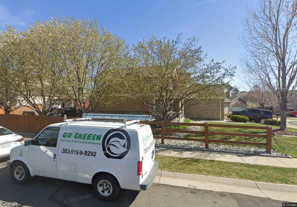
11376 W 55th Ln Arvada, CO 80002
Rainbow Ridge NeighborhoodEstimated Value: $814,000 - $966,000
4
Beds
7
Baths
2,509
Sq Ft
$352/Sq Ft
Est. Value
About This Home
This home is located at 11376 W 55th Ln, Arvada, CO 80002 and is currently estimated at $883,342, approximately $352 per square foot. 11376 W 55th Ln is a home located in Jefferson County with nearby schools including Vanderhoof Elementary School, Drake Junior High School, and Arvada West High School.
Ownership History
Date
Name
Owned For
Owner Type
Purchase Details
Closed on
Jun 9, 2005
Sold by
Whiteley Zachary and Kaker Desarai
Bought by
Whiteley Zachary and Whiteley Desarai M
Current Estimated Value
Home Financials for this Owner
Home Financials are based on the most recent Mortgage that was taken out on this home.
Original Mortgage
$29,000
Outstanding Balance
$15,140
Interest Rate
5.76%
Mortgage Type
Credit Line Revolving
Estimated Equity
$868,202
Purchase Details
Closed on
Jan 30, 2003
Sold by
Melody Homes Inc
Bought by
Whiteley Zachary and Kaker Desarai
Home Financials for this Owner
Home Financials are based on the most recent Mortgage that was taken out on this home.
Original Mortgage
$254,751
Outstanding Balance
$117,328
Interest Rate
6.99%
Estimated Equity
$766,014
Create a Home Valuation Report for This Property
The Home Valuation Report is an in-depth analysis detailing your home's value as well as a comparison with similar homes in the area
Home Values in the Area
Average Home Value in this Area
Purchase History
| Date | Buyer | Sale Price | Title Company |
|---|---|---|---|
| Whiteley Zachary | -- | -- | |
| Whiteley Zachary | $318,439 | Land Title |
Source: Public Records
Mortgage History
| Date | Status | Borrower | Loan Amount |
|---|---|---|---|
| Open | Whiteley Zachary | $29,000 | |
| Open | Whiteley Zachary | $254,751 |
Source: Public Records
Tax History Compared to Growth
Tax History
| Year | Tax Paid | Tax Assessment Tax Assessment Total Assessment is a certain percentage of the fair market value that is determined by local assessors to be the total taxable value of land and additions on the property. | Land | Improvement |
|---|---|---|---|---|
| 2024 | $5,085 | $52,425 | $24,704 | $27,721 |
| 2023 | $5,085 | $52,425 | $24,704 | $27,721 |
| 2022 | $4,302 | $43,927 | $18,563 | $25,364 |
| 2021 | $4,373 | $45,191 | $19,097 | $26,094 |
| 2020 | $3,927 | $40,692 | $16,612 | $24,080 |
| 2019 | $3,874 | $40,692 | $16,612 | $24,080 |
| 2018 | $3,639 | $37,160 | $10,560 | $26,600 |
| 2017 | $3,331 | $37,160 | $10,560 | $26,600 |
| 2016 | $3,334 | $35,040 | $8,326 | $26,714 |
| 2015 | $3,063 | $35,040 | $8,326 | $26,714 |
| 2014 | $3,063 | $30,249 | $8,574 | $21,675 |
Source: Public Records
Map
Nearby Homes
- 11237 W 55th Ln
- 11201 W 53rd Dr
- 5383 Quail St
- 11205 W 53rd Ln
- 5293 Quail Way
- 5194 Queen Ct
- 5334 Owens St
- 5240 Routt Ct Unit B
- 10337 W 55th Place Unit 204
- 5537 Lewis Ct Unit 4
- 5182 Rob Way
- 11958 W 57th Place
- 11924 W 57th Dr
- 11944 W 57th Dr
- 12081 W 54th Ave
- 5779 Taft St
- 5544 Lewis St Unit 203
- 11198 W 59th Place
- 12017 W 58th Place
- 5870 Nelson Ct
- 11356 W 55th Ln
- 11396 W 55th Ln
- 11377 W 55th Ln
- 11397 W 55th Ln
- 11416 W 55th Ln
- 11417 W 55th Ln
- 11316 W 55th Ln
- 11357 W 55th Ln
- 11437 W 55th Ln
- 11436 W 55th Ln
- 11337 W 55th Ln
- 5569 Quail Ct
- 5559 Quail Ct
- 11296 W 55th Ln
- 11317 W 55th Ln
- 5549 Quail Ct
- 5539 Quail Ct
- 11297 W 55th Ln
- 11277 W 55th Ln
- 5529 Quail Ct