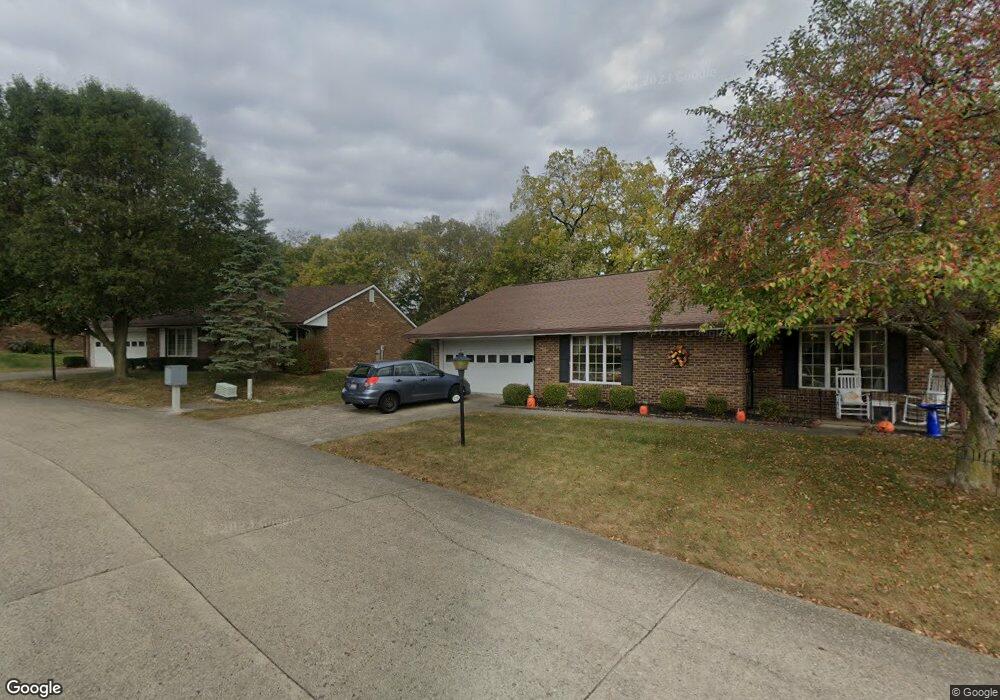
1138 Brixton Dr N Springfield, OH 45503
Estimated Value: $175,000 - $210,000
2
Beds
2
Baths
1,300
Sq Ft
$152/Sq Ft
Est. Value
About This Home
This home is located at 1138 Brixton Dr N, Springfield, OH 45503 and is currently estimated at $197,748, approximately $152 per square foot. 1138 Brixton Dr N is a home located in Clark County with nearby schools including Rolling Hills Elementary School, Northridge Middle School, and Kenton Ridge Middle & High School.
Ownership History
Date
Name
Owned For
Owner Type
Purchase Details
Closed on
Jun 29, 2009
Sold by
Merrill Lynch Bank & Trust Co Fsb
Bought by
Cooper Lee Ann
Current Estimated Value
Home Financials for this Owner
Home Financials are based on the most recent Mortgage that was taken out on this home.
Original Mortgage
$98,679
Outstanding Balance
$63,182
Interest Rate
4.94%
Mortgage Type
FHA
Estimated Equity
$134,566
Purchase Details
Closed on
Oct 20, 2000
Sold by
Reynolds Roger L
Bought by
Reynolds Roger L and Roger L Reynolds Trust
Create a Home Valuation Report for This Property
The Home Valuation Report is an in-depth analysis detailing your home's value as well as a comparison with similar homes in the area
Home Values in the Area
Average Home Value in this Area
Purchase History
| Date | Buyer | Sale Price | Title Company |
|---|---|---|---|
| Cooper Lee Ann | $100,500 | Attorney | |
| Reynolds Roger L | -- | -- |
Source: Public Records
Mortgage History
| Date | Status | Borrower | Loan Amount |
|---|---|---|---|
| Open | Cooper Lee Ann | $98,679 |
Source: Public Records
Tax History Compared to Growth
Tax History
| Year | Tax Paid | Tax Assessment Tax Assessment Total Assessment is a certain percentage of the fair market value that is determined by local assessors to be the total taxable value of land and additions on the property. | Land | Improvement |
|---|---|---|---|---|
| 2024 | $1,668 | $40,670 | $6,300 | $34,370 |
| 2023 | $1,668 | $40,670 | $6,300 | $34,370 |
| 2022 | $1,674 | $40,670 | $6,300 | $34,370 |
| 2021 | $1,801 | $37,470 | $5,250 | $32,220 |
| 2020 | $1,803 | $37,470 | $5,250 | $32,220 |
| 2019 | $1,840 | $37,470 | $5,250 | $32,220 |
| 2018 | $1,577 | $31,150 | $5,570 | $25,580 |
| 2017 | $1,341 | $31,059 | $5,565 | $25,494 |
| 2016 | $1,331 | $31,059 | $5,565 | $25,494 |
| 2015 | $1,251 | $30,744 | $5,250 | $25,494 |
| 2014 | $1,251 | $30,744 | $5,250 | $25,494 |
| 2013 | $1,248 | $30,744 | $5,250 | $25,494 |
Source: Public Records
Map
Nearby Homes
- 1148 Foxboro Rd
- 1162 Kingsgate Rd
- 3032 Armsgate Rd Unit 25
- 3029 Bradford Dr Unit 46
- 3631 Kingsgate Ln
- 1509 Kingsgate Rd
- 1501 Kingsgate Rd
- 1503 Kingsgate Rd
- 1505 Kingsgate Rd
- 1507 Kingsgate Rd
- 1139 Greenoak Ct
- 1732 Falmouth Ave
- 4109 Derr Rd
- 647 Villa Rd Unit A
- 542 Villa Rd
- 1781 Pinehurst Dr
- 4133 Willowbrook Dr
- 1225 Vester Ave
- 3500 Oakmont Ct
- 3229 Bristol Dr
- 1138 Brixton Dr N Unit 110
- 1140 Brixton Dr N Unit 109
- 1136 Brixton Dr N
- 1137 Brixton Dr N
- 1137 Brixton Dr N Unit 249
- 1139 Brixton Dr N
- 1139 Brixton Dr N Unit 248
- 1142 Brixton Dr N Unit 108
- 1142 Brixton Dr N
- 1173 Scanlon Ln
- 3115 Brixton Dr W
- 3115 Brixton Dr W
- 1141 Brixton Dr N
- 3106 Brixton Dr W
- 3106 Brixton Dr W
- 1155 Scanlon Ln
- 1140 Derby Rd
- 1140 Derby Rd Unit 246
- 3111 Brixton Dr W
- 1144 Brixton Dr N