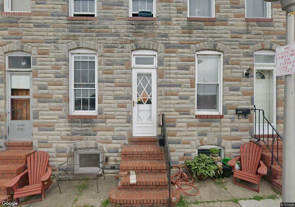
1138 Cooksie St Baltimore, MD 21230
Locust Point NeighborhoodEstimated Value: $231,257 - $273,000
2
Beds
1
Bath
864
Sq Ft
$292/Sq Ft
Est. Value
About This Home
This home is located at 1138 Cooksie St, Baltimore, MD 21230 and is currently estimated at $252,129, approximately $291 per square foot. 1138 Cooksie St is a home located in Baltimore City with nearby schools including Francis Scott Key Elementary/Middle School, Booker T. Washington Middle School, and Digital Harbor High School.
Ownership History
Date
Name
Owned For
Owner Type
Purchase Details
Closed on
Aug 18, 2023
Sold by
Hooper Joan M and Ashbrook Owen O
Bought by
Hooper Andrea Jean
Current Estimated Value
Purchase Details
Closed on
Nov 19, 1993
Sold by
Hurst W E
Bought by
Sherrod Woodrow
Home Financials for this Owner
Home Financials are based on the most recent Mortgage that was taken out on this home.
Original Mortgage
$52,700
Interest Rate
6.77%
Create a Home Valuation Report for This Property
The Home Valuation Report is an in-depth analysis detailing your home's value as well as a comparison with similar homes in the area
Home Values in the Area
Average Home Value in this Area
Purchase History
We collect this data history from publicly available records. To have your information removed, we recommend requesting removal directly through your county’s website.
| Date | Buyer | Sale Price | Title Company |
|---|---|---|---|
| Hooper Andrea Jean | -- | None Listed On Document | |
| Sherrod Woodrow | $66,000 | -- |
Source: Public Records
Mortgage History
We collect this data history from publicly available records. To have your information removed, we recommend requesting removal directly through your county’s website.
| Date | Status | Borrower | Loan Amount |
|---|---|---|---|
| Previous Owner | Sherrod Woodrow | $52,700 |
Source: Public Records
Tax History
| Year | Tax Paid | Tax Assessment Tax Assessment Total Assessment is a certain percentage of the fair market value that is determined by local assessors to be the total taxable value of land and additions on the property. | Land | Improvement |
|---|---|---|---|---|
| 2025 | $4,283 | $190,633 | -- | -- |
| 2024 | $4,283 | $182,367 | -- | -- |
| 2023 | $4,089 | $174,100 | $80,000 | $94,100 |
| 2022 | $4,071 | $172,500 | $0 | $0 |
| 2021 | $4,033 | $170,900 | $0 | $0 |
| 2020 | $3,995 | $169,300 | $80,000 | $89,300 |
| 2019 | $3,966 | $168,867 | $0 | $0 |
| 2018 | $3,975 | $168,433 | $0 | $0 |
| 2017 | $3,965 | $168,000 | $0 | $0 |
| 2016 | $3,992 | $167,900 | $0 | $0 |
| 2015 | $3,992 | $167,800 | $0 | $0 |
| 2014 | $3,992 | $167,700 | $0 | $0 |
Source: Public Records
Map
Nearby Homes
- 1307 Haubert St
- 1314 Towson St
- 1344 Towson St
- 1358 Towson St
- 1342 Andre St
- 1408 Towson St
- 1352 Andre St
- 1403 E Clement St
- 1421 Hull St
- 1435 Hull St
- 1425 Cooksie St
- 1200 Steuart St Unit 713
- 1200 Steuart St
- 1200 Steuart St Unit 425
- 1200 Steuart St Unit 1711
- 1200 Steuart St Unit 312
- 1200 Steuart St Unit 1811
- 1200 Steuart St
- 1414 Andre St
- 1432 Haubert St
Your Personal Tour Guide
Ask me questions while you tour the home.