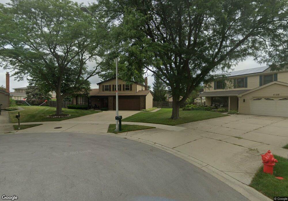
1138 Crest Ct Schaumburg, IL 60193
South Schaumburg NeighborhoodEstimated Value: $463,964 - $573,000
3
Beds
3
Baths
1,606
Sq Ft
$333/Sq Ft
Est. Value
About This Home
This home is located at 1138 Crest Ct, Schaumburg, IL 60193 and is currently estimated at $534,491, approximately $332 per square foot. 1138 Crest Ct is a home located in Cook County with nearby schools including Michael Collins Elementary School, Robert Frost Junior High School, and J B Conant High School.
Ownership History
Date
Name
Owned For
Owner Type
Purchase Details
Closed on
Aug 2, 2017
Sold by
Farbiak Bernard G and Farbiak Judith L
Bought by
Farbiak Bernard G and Farbiak Judith L
Current Estimated Value
Create a Home Valuation Report for This Property
The Home Valuation Report is an in-depth analysis detailing your home's value as well as a comparison with similar homes in the area
Home Values in the Area
Average Home Value in this Area
Purchase History
| Date | Buyer | Sale Price | Title Company |
|---|---|---|---|
| Farbiak Bernard G | -- | Attorney |
Source: Public Records
Tax History
| Year | Tax Paid | Tax Assessment Tax Assessment Total Assessment is a certain percentage of the fair market value that is determined by local assessors to be the total taxable value of land and additions on the property. | Land | Improvement |
|---|---|---|---|---|
| 2025 | $8,132 | $44,000 | $10,174 | $33,826 |
| 2024 | $8,132 | $35,000 | $8,609 | $26,391 |
| 2023 | $7,835 | $35,000 | $8,609 | $26,391 |
| 2022 | $7,835 | $35,000 | $8,609 | $26,391 |
| 2021 | $7,251 | $29,918 | $4,695 | $25,223 |
| 2020 | $7,248 | $29,918 | $4,695 | $25,223 |
| 2019 | $7,256 | $33,243 | $4,695 | $28,548 |
| 2018 | $7,315 | $30,558 | $4,108 | $26,450 |
| 2017 | $7,232 | $30,558 | $4,108 | $26,450 |
| 2016 | $7,258 | $30,558 | $4,108 | $26,450 |
| 2015 | $6,920 | $27,628 | $3,521 | $24,107 |
| 2014 | $6,872 | $27,628 | $3,521 | $24,107 |
| 2013 | $7,965 | $27,628 | $3,521 | $24,107 |
Source: Public Records
Map
Nearby Homes
- 1100 Boston Harbor Unit 7004
- 411 Drake Cir Unit 401B
- 1064 Hampton Harbor Unit 1064
- 1055 Hampton Harbor Unit 1055
- 1326 Summit Dr
- 518 E Niagara Ave
- 620 S Point Dr
- 733 Limerick Ln Unit 7333D
- 615 Newberry Dr
- 717 Killarney Ct Unit 2D
- 1200 Knottingham Ct Unit 2B
- 207 Mountain Interval Rd Unit 7230
- 240 Warren Ln Unit 11348
- 211 Steeple Bush Ln Unit 10343
- 232 Warren Ln Unit 11546
- 725 Limerick Ln Unit 2-B
- 826 Thornton Ct Unit 2AL
- 98 Wiltshire Ct
- 112 Mullingar Ct Unit 1C
- 134 Lunt Ave
- 1142 Crest Ct
- 1139 Crest Ct
- 1126 Brunswick Harbor Unit 42
- 1124 Brunswick Harbor Unit 42
- 1124 Brunswick Harbor Unit 1124
- 1120 Brunswick Harbor Unit 42
- 1118 Brunswick Harbor Unit 43
- 288 Nantucket Harbor Unit 602
- 284 Nantucket Harbor Unit 604
- 1143 Crest Ct
- 1146 Crest Ct
- 1119 Brunswick Harbor Unit 44
- 1122 Brunswick Harbor Unit 42
- 1116 Brunswick Harbor Unit 43
- 1116 Brunswick Harbor
- 1113 Brunswick Harbor Unit 44
- 290 Nantucket Harbor Unit 603
- 1114 Brunswick Harbor Unit 43
- 1112 Brunswick Harbor Unit 43
- 1117 Brunswick Harbor Unit 44
Your Personal Tour Guide
Ask me questions while you tour the home.