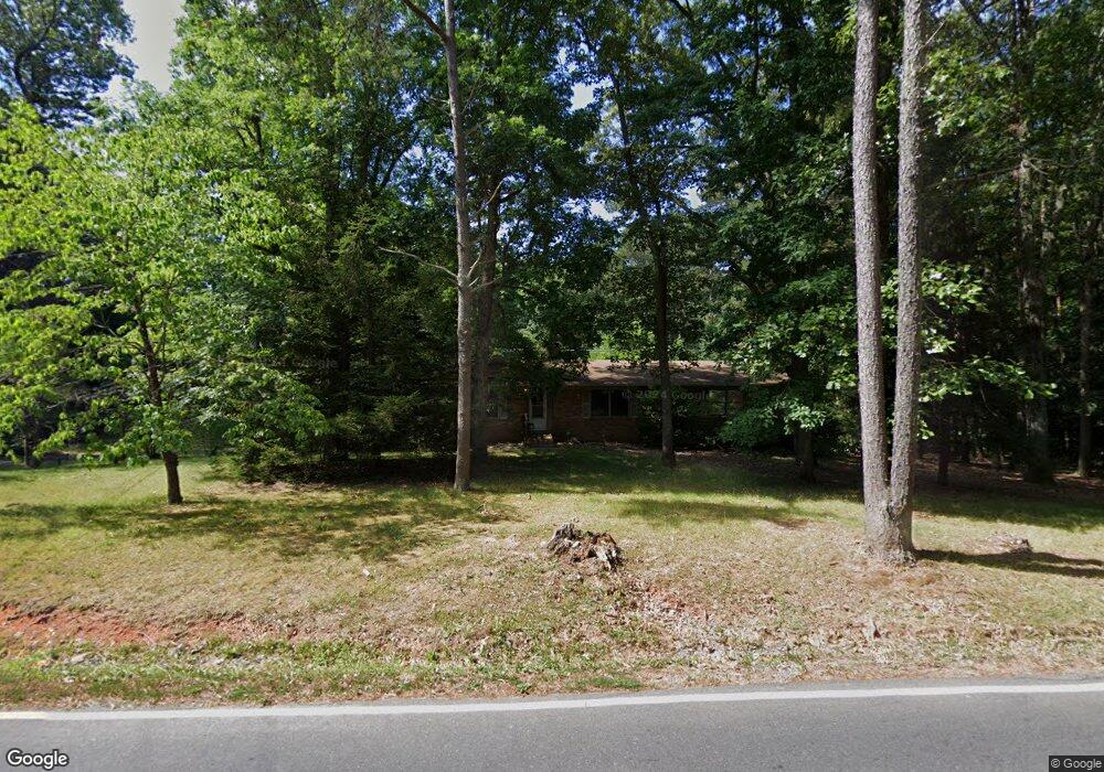
1138 Draper St Asheboro, NC 27203
Estimated Value: $265,000 - $292,449
--
Bed
2
Baths
1,782
Sq Ft
$157/Sq Ft
Est. Value
About This Home
This home is located at 1138 Draper St, Asheboro, NC 27203 and is currently estimated at $280,112, approximately $157 per square foot. 1138 Draper St is a home located in Randolph County with nearby schools including Balfour Elementary School, North Asheboro Middle School, and Asheboro High School.
Ownership History
Date
Name
Owned For
Owner Type
Purchase Details
Closed on
Jun 9, 2022
Sold by
Hawkins Presnell Deborah and Sharpe Edwin
Bought by
Howell Joshua
Current Estimated Value
Home Financials for this Owner
Home Financials are based on the most recent Mortgage that was taken out on this home.
Original Mortgage
$88,844
Outstanding Balance
$84,286
Interest Rate
5.1%
Mortgage Type
New Conventional
Estimated Equity
$195,826
Purchase Details
Closed on
Aug 5, 2004
Sold by
Caviness Mary F and Presnell Deborah H
Bought by
Presnell Deborah Hawkins and Fields Mary Denise
Create a Home Valuation Report for This Property
The Home Valuation Report is an in-depth analysis detailing your home's value as well as a comparison with similar homes in the area
Home Values in the Area
Average Home Value in this Area
Purchase History
| Date | Buyer | Sale Price | Title Company |
|---|---|---|---|
| Howell Joshua | $210,000 | Brady & Kosofsky Pa | |
| Presnell Deborah Hawkins | -- | -- |
Source: Public Records
Mortgage History
| Date | Status | Borrower | Loan Amount |
|---|---|---|---|
| Open | Howell Joshua | $88,844 |
Source: Public Records
Tax History Compared to Growth
Tax History
| Year | Tax Paid | Tax Assessment Tax Assessment Total Assessment is a certain percentage of the fair market value that is determined by local assessors to be the total taxable value of land and additions on the property. | Land | Improvement |
|---|---|---|---|---|
| 2025 | $2,738 | $206,570 | $36,960 | $169,610 |
| 2024 | $2,738 | $206,570 | $36,960 | $169,610 |
| 2023 | $2,738 | $206,570 | $36,960 | $169,610 |
| 2022 | $2,329 | $161,570 | $41,200 | $120,370 |
| 2021 | $2,329 | $161,570 | $41,200 | $120,370 |
| 2020 | $2,329 | $161,570 | $41,200 | $120,370 |
| 2019 | $2,329 | $161,570 | $41,200 | $120,370 |
| 2018 | $2,335 | $159,090 | $37,080 | $122,010 |
| 2016 | $2,335 | $159,087 | $37,080 | $122,007 |
| 2015 | $2,345 | $159,087 | $37,080 | $122,007 |
| 2014 | -- | $159,087 | $37,080 | $122,007 |
Source: Public Records
Map
Nearby Homes
- 1531 Robins Nest Dr
- 0 Robins Nest Dr
- 1646 Johnnys Way Rd
- 1907 Levance St
- 1335 Robins Nest Dr
- 738 Oak Bend Dr
- 740 Oak Bend Dr
- 1684 Pen Oak Dr
- 911 Old Liberty Rd
- 734 Central Falls Rd
- 728 Central Falls Rd
- 1121 Hub Morris Rd
- 1319 E Allred St
- 410 Millikan Dr
- 1807 Newell St
- 1223 Old Liberty Rd
- 1226 Old Liberty Rd
- 0 Sharon Ave
- 1249 Eton Ave
- 311 Sharon Ave
- 1821 Gold Hill Rd
- 1126 Draper St
- 1127 Draper St
- 1827 Gold Hill Rd
- 1804 Burgess St
- 1808 Burgess St
- 1802 Burgess St
- 1831 Gold Hill Rd
- 1828 Gold Hill Rd
- 1757 Gold Hill Rd
- 1822 Burgess St
- 1830 Gold Hill Rd
- 1833 Gold Hill Rd
- 1119 Draper St
- 1807 Burgess St
- 1116 Draper St
- 1805 Burgess St
- 1751 Gold Hill Rd
- 1839 Gold Hill Rd
- 1690 Robins Nest Dr