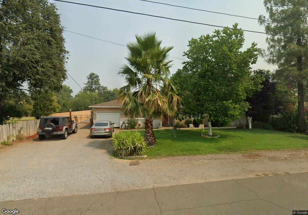
1138 Dusty Ln Redding, CA 96002
Mistletoe NeighborhoodEstimated Value: $276,000 - $317,272
About This Home
This home is located at 1138 Dusty Ln, Redding, CA 96002 and is currently estimated at $298,318, approximately $232 per square foot. 1138 Dusty Ln is a home located in Shasta County with nearby schools including Mistletoe Elementary School, Enterprise High School, and Trinity Lutheran School.
Ownership History
We collect this data history from publicly available records. To have your information removed, we recommend requesting removal directly through your county’s website.
Purchase Details
Home Financials for this Owner
Home Financials are based on the most recent Mortgage that was taken out on this home.Home Values in the Area
Average Home Value in this Area
Purchase History
We collect this data history from publicly available records. To have your information removed, we recommend requesting removal directly through your county’s website.
| Date | Buyer | Sale Price | Title Company |
|---|---|---|---|
| $108,181 | First American Title Co |
Mortgage History
We collect this data history from publicly available records. To have your information removed, we recommend requesting removal directly through your county’s website.
| Date | Status | Borrower | Loan Amount |
|---|---|---|---|
| Open | $91,800 |
Tax History
We collect this data history from publicly available records. To have your information removed, we recommend requesting removal directly through your county’s website.
| Year | Tax Paid | Tax Assessment Tax Assessment Total Assessment is a certain percentage of the fair market value that is determined by local assessors to be the total taxable value of land and additions on the property. | Land | Improvement |
|---|---|---|---|---|
| 2025 | $41 | $187,951 | $37,654 | $150,297 |
| 2024 | $40 | $184,266 | $36,916 | $147,350 |
| 2023 | $40 | $180,654 | $36,193 | $144,461 |
| 2022 | $68 | $177,113 | $35,484 | $141,629 |
| 2021 | $318 | $173,641 | $34,789 | $138,852 |
| 2020 | $36 | $171,862 | $34,433 | $137,429 |
| 2019 | $36 | $168,493 | $33,758 | $134,735 |
| 2018 | $371 | $165,191 | $33,097 | $132,094 |
| 2017 | $34 | $161,953 | $32,449 | $129,504 |
| 2016 | $33 | $158,778 | $31,813 | $126,965 |
| 2015 | $66 | $156,394 | $31,336 | $125,058 |
| 2014 | $32 | $144,343 | $30,723 | $113,620 |
Map
- 1807 Forest Glen Ct
- 1451 Carter Way
- 1448 Mistletoe Ln
- 1953 Cameo Ct
- 1975 Bechelli Ln
- 1285 Lancers Ln
- 1568 Victor Ave
- 1943 Bechelli Ln
- 1937 Bechelli Ln
- 1744 Bechelli Ln
- 1911 Bechelli Ln
- 1928 Bechelli Ln
- 1968 Bechelli Ln
- 948 Jamieson Ct
- 1400 Arroyo Manor Dr
- 2093 Victor Ave
- 1005 Grouse Dr
- 1761 Edgewood Dr
- 2584 Reservoir Ln
- 1368 Grouse Dr
- 1146 Dusty Ln
- 1130 Dusty Ln
- 1137 Dusty Ln
- 1145 Dusty Ln
- 1186 Dusty Ln
- 1787 Hawthorne Ct
- 1778 Hawthorne Ct
- 1151 Dusty Ln
- 1111 Dusty Ln Unit ONE
- 1111 Dusty Ln
- 1761 Hawthorne Ct
- 1187 Dusty Ln
- 1214 Dusty Ln
- 1106 Dusty Ln
- 1201 Dusty Ln
- 1735 Hawthorne Ct
- 1273 Hawthorne Ave
- 1201 Hawthorne Ave
- 1121 Hawthorne Ave
- 1711 Hawthorne Ct
Ask me questions while you tour the home.