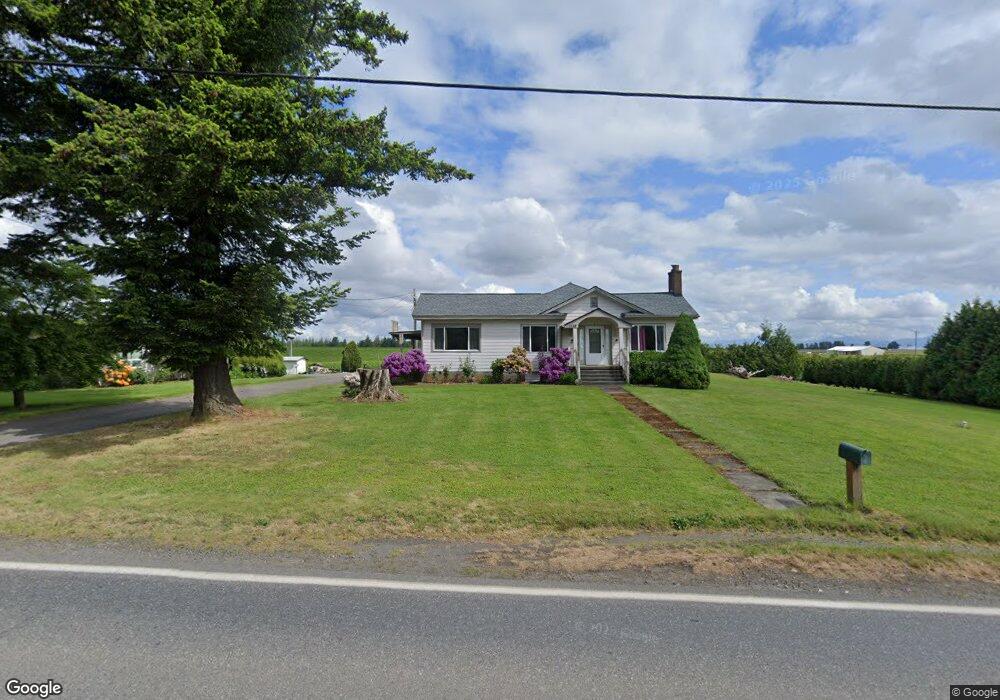
1138 E Pole Rd Everson, WA 98247
Estimated Value: $913,000
About This Home
This home is located at 1138 E Pole Rd, Everson, WA 98247 and is currently estimated at $913,000, approximately $343 per square foot. 1138 E Pole Rd is a home located in Whatcom County with nearby schools including Lynden High School, Lynden Christian School, and Lynden Christian Schools: Administration.
Ownership History
We collect this data history from publicly available records. To have your information removed, we recommend requesting removal directly through your county’s website.
Purchase Details
Purchase Details
Purchase Details
Purchase History
We collect this data history from publicly available records. To have your information removed, we recommend requesting removal directly through your county’s website.
| Date | Buyer | Sale Price | Title Company |
|---|---|---|---|
| -- | Clearing Title | ||
| -- | Clearing Title | ||
| -- | None Available | ||
| -- | None Available |
Tax History
We collect this data history from publicly available records. To have your information removed, we recommend requesting removal directly through your county’s website.
| Year | Tax Paid | Tax Assessment Tax Assessment Total Assessment is a certain percentage of the fair market value that is determined by local assessors to be the total taxable value of land and additions on the property. | Land | Improvement |
|---|---|---|---|---|
| 2025 | $4,691 | $724,530 | $359,233 | $365,297 |
| 2024 | $5,017 | $712,261 | $355,874 | $356,387 |
| 2023 | $5,017 | $855,658 | $375,983 | $479,675 |
| 2022 | $4,663 | $784,992 | $344,931 | $440,061 |
| 2021 | $4,196 | $613,269 | $269,475 | $343,794 |
| 2020 | $3,603 | $386,856 | $105,060 | $281,796 |
| 2019 | $3,483 | $442,895 | $194,612 | $248,283 |
| 2018 | $3,958 | $335,085 | $91,000 | $244,085 |
| 2017 | $3,505 | $314,208 | $78,130 | $236,078 |
| 2016 | $3,526 | $295,909 | $73,580 | $222,329 |
| 2015 | $3,155 | $295,909 | $73,580 | $222,329 |
| 2014 | -- | $291,323 | $75,082 | $216,241 |
| 2013 | -- | $264,633 | $68,229 | $196,404 |
Map
- 1133 E Pole Rd
- 6849 Raspberry Dr
- 918 Citadel Dr
- 6978 Hannegan Rd
- 6981 Hannegan Rd
- 1320 Lunde Rd
- 6917 Red Ridge Dr
- 6898 Golf View Dr
- 6874 Golf View Dr
- 6786 La Bello Dr
- 6744 La Bello Dr
- 6707 La Bello Dr
- 6791 Noon Rd
- 1379 Ten Mile Rd
- 1822 E Pole Rd
- 797 Ten Mile Rd
- 1535 Ten Mile Rd
- 380 E Pole Rd Unit 16
- 380 E Pole Rd Unit 6
- 380 E Pole Rd Unit 20
- 1083 E Pole Rd
- 1060 E Pole Rd
- 1060 E Pole Rd
- 1232 E Pole Rd
- 2188 E Pole Rd
- 0 E Pole Rd
- 766 E Pole Rd
- 1243 E Pole Rd
- 1242 E Pole Rd
- 1258 E Pole Rd
- 1280 E Pole Rd
- 954 E Pole Rd
- 994 E Pole Rd
- 988 E Pole Rd
- 980 E Pole Rd
- 976 E Pole Rd
- 6844 Raspberry Dr Unit B
- 6844 Raspberry Dr Unit A
- 6862 Raspberry Dr
- 6858 Raspberry Dr
Ask me questions while you tour the home.