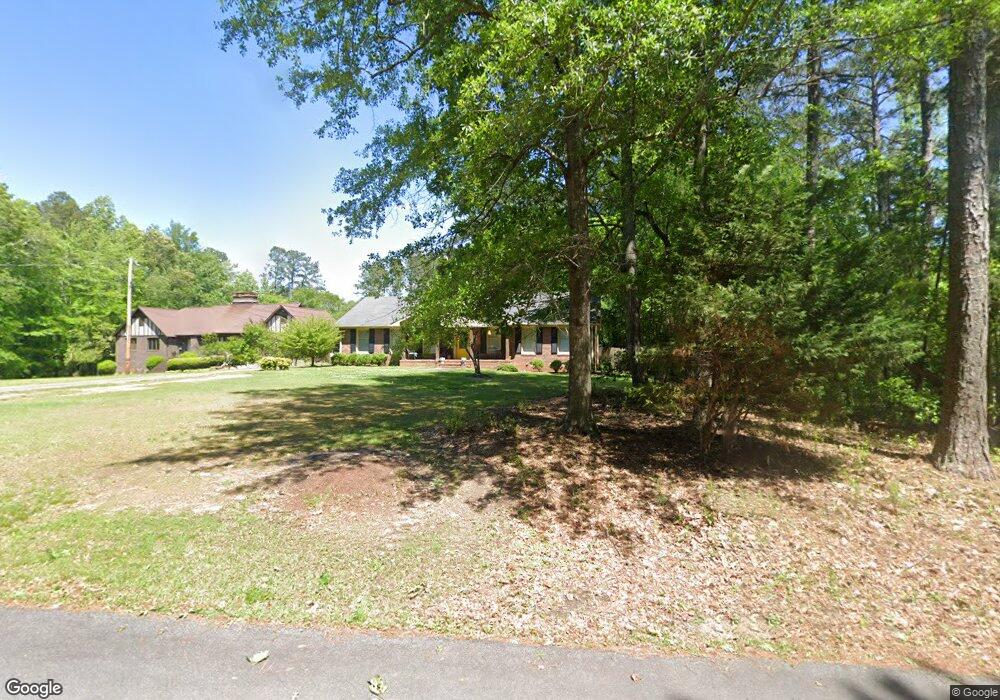
1138 Foxfire Cir Elberton, GA 30635
Estimated Value: $263,882 - $300,000
3
Beds
2
Baths
1,944
Sq Ft
$143/Sq Ft
Est. Value
About This Home
This home is located at 1138 Foxfire Cir, Elberton, GA 30635 and is currently estimated at $278,471, approximately $143 per square foot. 1138 Foxfire Cir is a home located in Elbert County with nearby schools including Elbert County Primary School, Elbert County Elementary School, and Elbert County Middle School.
Ownership History
Date
Name
Owned For
Owner Type
Purchase Details
Closed on
Dec 30, 2010
Sold by
Roberts Frances R
Bought by
Dye Sandra B
Current Estimated Value
Home Financials for this Owner
Home Financials are based on the most recent Mortgage that was taken out on this home.
Original Mortgage
$134,501
Outstanding Balance
$90,462
Interest Rate
4.5%
Mortgage Type
FHA
Estimated Equity
$188,009
Purchase Details
Closed on
Sep 26, 2001
Sold by
Roberts Charles Eugene
Bought by
Roberts Frances R
Purchase Details
Closed on
Feb 1, 1977
Create a Home Valuation Report for This Property
The Home Valuation Report is an in-depth analysis detailing your home's value as well as a comparison with similar homes in the area
Home Values in the Area
Average Home Value in this Area
Purchase History
| Date | Buyer | Sale Price | Title Company |
|---|---|---|---|
| Dye Sandra B | $138,000 | -- | |
| Roberts Frances R | -- | -- | |
| -- | $6,000 | -- | |
| -- | -- | -- |
Source: Public Records
Mortgage History
| Date | Status | Borrower | Loan Amount |
|---|---|---|---|
| Open | Dye Sandra B | $134,501 |
Source: Public Records
Tax History Compared to Growth
Tax History
| Year | Tax Paid | Tax Assessment Tax Assessment Total Assessment is a certain percentage of the fair market value that is determined by local assessors to be the total taxable value of land and additions on the property. | Land | Improvement |
|---|---|---|---|---|
| 2024 | $2,206 | $97,339 | $5,360 | $91,979 |
| 2023 | $2,206 | $97,339 | $5,360 | $91,979 |
| 2022 | $1,381 | $59,608 | $5,360 | $54,248 |
| 2021 | $1,383 | $59,608 | $5,360 | $54,248 |
| 2020 | $1,188 | $45,719 | $5,360 | $40,359 |
| 2019 | $1,235 | $45,719 | $5,360 | $40,359 |
| 2018 | $1,272 | $45,719 | $5,360 | $40,359 |
| 2017 | $1,452 | $48,204 | $5,360 | $42,844 |
| 2016 | $1,356 | $48,204 | $5,360 | $42,844 |
| 2015 | -- | $53,874 | $5,360 | $48,514 |
| 2014 | -- | $53,874 | $5,360 | $48,514 |
| 2013 | -- | $53,874 | $5,360 | $48,514 |
Source: Public Records
Map
Nearby Homes
- 844 Sherwood Dr
- 141 Wildwood Dr
- 0 Fairway Dr Unit 10491731
- 1055 Country Manor Ln
- 181 Brookside Dr
- 1530 Country Club Rd
- 173 Brookside Dr
- 0 Old Middleton Rd Unit 22775401
- 211 Snyder Ave
- 135 Brookside Dr
- 1228 Country Club Rd
- 00 Lexington Hwy
- 245 Edwards St
- 155 Myrtle St
- 2009 Lexington Hwy
- 1116 Watts Ln
- 214 Campbell St
- 213 S Mcintosh St
- 415 Athenia St
- 196 S Oliver St
- 1136 Foxfire Cir
- 1031 Sunset Dr
- 1150 Foxfire Cir
- 1268 Country Club Ln
- 1021 Joru Dr
- 1120 Foxfire Cir
- 1270 Country Club Ln
- 1118 Foxfire Cir
- 1030 Sunset Dr
- 1029 Sunset Dr
- 0 Foxfire Cir Unit 7247754
- 0 Foxfire Cir Unit 8661749
- 1242 Golf Course Rd
- 1248 Old Golf Course Rd
- 1027 Sunset Dr
- 1248 Golf Course Rd
- 1025 Sunset Dr
- 1227 Country Club Ln
- 1262 Golf Course Rd
- 1008 Sunset Dr