1138 Moorestown Cir Decatur, GA 30033
Toco Hills NeighborhoodEstimated Value: $327,000 - $370,870
3
Beds
3
Baths
1,488
Sq Ft
$236/Sq Ft
Est. Value
About This Home
This home is located at 1138 Moorestown Cir, Decatur, GA 30033 and is currently estimated at $351,218, approximately $236 per square foot. 1138 Moorestown Cir is a home located in DeKalb County with nearby schools including Briar Vista Elementary School, Druid Hills Middle School, and Druid Hills High School.
Ownership History
Date
Name
Owned For
Owner Type
Purchase Details
Closed on
Aug 20, 2013
Sold by
Li Shuangding
Bought by
Jiang Wenxiao
Current Estimated Value
Purchase Details
Closed on
Apr 19, 2006
Sold by
Sands Family
Bought by
Hou Bin
Home Financials for this Owner
Home Financials are based on the most recent Mortgage that was taken out on this home.
Original Mortgage
$121,600
Interest Rate
6.33%
Mortgage Type
New Conventional
Create a Home Valuation Report for This Property
The Home Valuation Report is an in-depth analysis detailing your home's value as well as a comparison with similar homes in the area
Home Values in the Area
Average Home Value in this Area
Purchase History
| Date | Buyer | Sale Price | Title Company |
|---|---|---|---|
| Jiang Wenxiao | $156,500 | -- | |
| Hou Bin | $152,000 | -- |
Source: Public Records
Mortgage History
| Date | Status | Borrower | Loan Amount |
|---|---|---|---|
| Previous Owner | Hou Bin | $121,600 |
Source: Public Records
Tax History Compared to Growth
Tax History
| Year | Tax Paid | Tax Assessment Tax Assessment Total Assessment is a certain percentage of the fair market value that is determined by local assessors to be the total taxable value of land and additions on the property. | Land | Improvement |
|---|---|---|---|---|
| 2024 | $3,749 | $136,120 | $30,000 | $106,120 |
| 2023 | $3,749 | $135,640 | $30,000 | $105,640 |
| 2022 | $3,300 | $119,280 | $16,000 | $103,280 |
| 2021 | $2,884 | $101,280 | $16,000 | $85,280 |
| 2020 | $2,802 | $97,480 | $16,000 | $81,480 |
| 2019 | $2,622 | $90,560 | $16,000 | $74,560 |
| 2018 | $2,337 | $84,960 | $13,600 | $71,360 |
| 2017 | $2,531 | $83,600 | $13,600 | $70,000 |
| 2016 | $2,272 | $74,400 | $13,600 | $60,800 |
| 2014 | $1,822 | $55,600 | $32,680 | $22,920 |
Source: Public Records
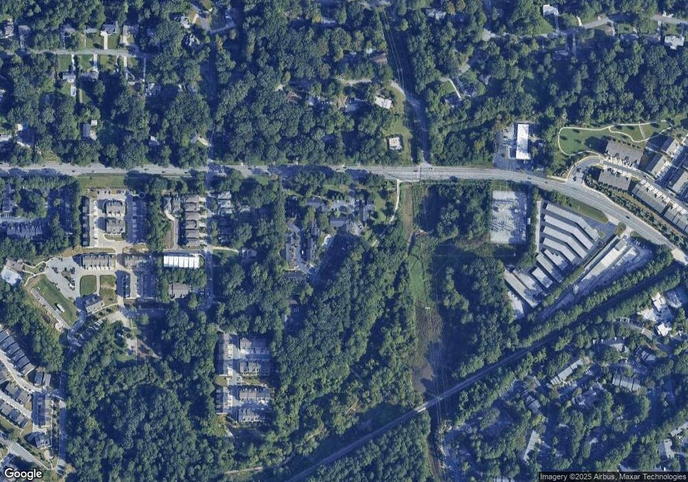
Map
Nearby Homes
- 1117 Moorestown Cir
- 2166 Rock Creek Park
- 1260 Yarkon Park Ln
- 1322 Stanley Park Dr
- 2090 Emmet Park Ln Unit 125
- 1088 Battery Park Rd
- 1080 N Battery Park Rd
- 1225 Hampton Park Rd
- 2059 Falls Park Way
- 2056 Falls Park Way
- 1174 City Park Ln Unit 245
- 2076 Patterson Park Rd
- 1982 Washington Park Ln
- 1068 Willivee Dr
- 2186 Leafmore Dr
- 950 Heritage Hills
- 1138 Moorestown Cir Unit 1138
- 1136 Moorestown Cir
- 1136 Moorestown Cir Unit 1136
- 1134 Moorestown Cir
- 1140 Moorestown Cir Unit 1140
- 1132 Moorestown Cir
- 1144 Moorestown Cir
- 1142 Moorestown Cir
- 1128 Moorestown Cir
- 1114 Moorestown Cir
- 1112 Moorestown Cir
- 1112 Moorestown Cir Unit 1112
- 1116 Moorestown Cir
- 1116 Moorestown Cir Unit 1116
- 1118 Moorestown Cir
- 1118 Moorestown Cir
- 1118 Moorestown Cir Unit 1118
- 1126 Moorestown Cir
- 1110 Moorestown Cir
- 1120 Moorestown Cir