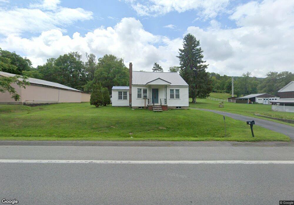
1138 State Route 5s Mohawk, NY 13407
Estimated Value: $153,000 - $211,000
3
Beds
1
Bath
1,348
Sq Ft
$129/Sq Ft
Est. Value
About This Home
This home is located at 1138 State Route 5s, Mohawk, NY 13407 and is currently estimated at $174,187, approximately $129 per square foot. 1138 State Route 5s is a home located in Herkimer County with nearby schools including Harry M. Fisher Elementary School, Barringer Road Elementary School, and Gregory B. Jarvis Middle School.
Ownership History
Date
Name
Owned For
Owner Type
Purchase Details
Closed on
Feb 7, 2013
Sold by
Herringshaw Jason
Bought by
Herringwhaw Jason
Current Estimated Value
Purchase Details
Closed on
Jun 16, 2005
Sold by
Jones David F
Bought by
Fahey Robert F
Purchase Details
Closed on
Nov 2, 1998
Create a Home Valuation Report for This Property
The Home Valuation Report is an in-depth analysis detailing your home's value as well as a comparison with similar homes in the area
Home Values in the Area
Average Home Value in this Area
Purchase History
| Date | Buyer | Sale Price | Title Company |
|---|---|---|---|
| Herringwhaw Jason | -- | -- | |
| Fahey Robert F | $67,000 | Patrick Quinn | |
| -- | -- | -- |
Source: Public Records
Tax History
| Year | Tax Paid | Tax Assessment Tax Assessment Total Assessment is a certain percentage of the fair market value that is determined by local assessors to be the total taxable value of land and additions on the property. | Land | Improvement |
|---|---|---|---|---|
| 2024 | $2,257 | $64,700 | $5,400 | $59,300 |
| 2023 | $2,343 | $64,700 | $5,400 | $59,300 |
| 2022 | $2,347 | $64,700 | $5,400 | $59,300 |
| 2021 | $2,366 | $64,700 | $5,400 | $59,300 |
| 2020 | $1,874 | $64,700 | $5,400 | $59,300 |
| 2019 | $1,844 | $64,700 | $5,400 | $59,300 |
| 2018 | $1,903 | $64,700 | $5,400 | $59,300 |
| 2017 | $1,865 | $64,700 | $5,400 | $59,300 |
| 2016 | $1,857 | $64,700 | $5,400 | $59,300 |
| 2015 | -- | $64,700 | $5,400 | $59,300 |
| 2014 | -- | $64,700 | $5,400 | $59,300 |
Source: Public Records
Map
Nearby Homes
- 1224 State Route 5s
- 6264 New York 5
- 5651 State Route 5
- 120 McKensy Place
- Lot 3-1 Oregon Rd
- 554 W Main St
- 405 State Route 5s
- 105 Willard St
- 159 Pine Grove Rd
- 182 Main Rd
- 160 Main Rd
- 180 Lowes Blvd
- 8 Marco Terrace
- 2-4 Marco Terrace
- 58 Woodside Ave
- 92 Furnace St
- 23 Furnace St
- 114 Piper Rd
- 32 Flint Ave
- 121 Piper Rd
- 1130 State Route 5s
- 1141 State Route 5s
- 1148 State Route 5s
- 1147 State Route 5s
- 1151 State Route 5s
- 1155 State Route 5s
- 1159 State Route 5s
- 1114 State Route 5s
- 1172 State Route 5s
- 1109 State Route 5s
- 1167 State Route 5s
- 1162 State Route 5s
- 1103 New York 5s
- 1173 State Route 5s
- 1103 State Route 5s
- 106 Casler Rd
- 1094 State Route 5s
- 112 Casler Rd
- 1187 State Route 5s
- 1084 New York 5s
Your Personal Tour Guide
Ask me questions while you tour the home.