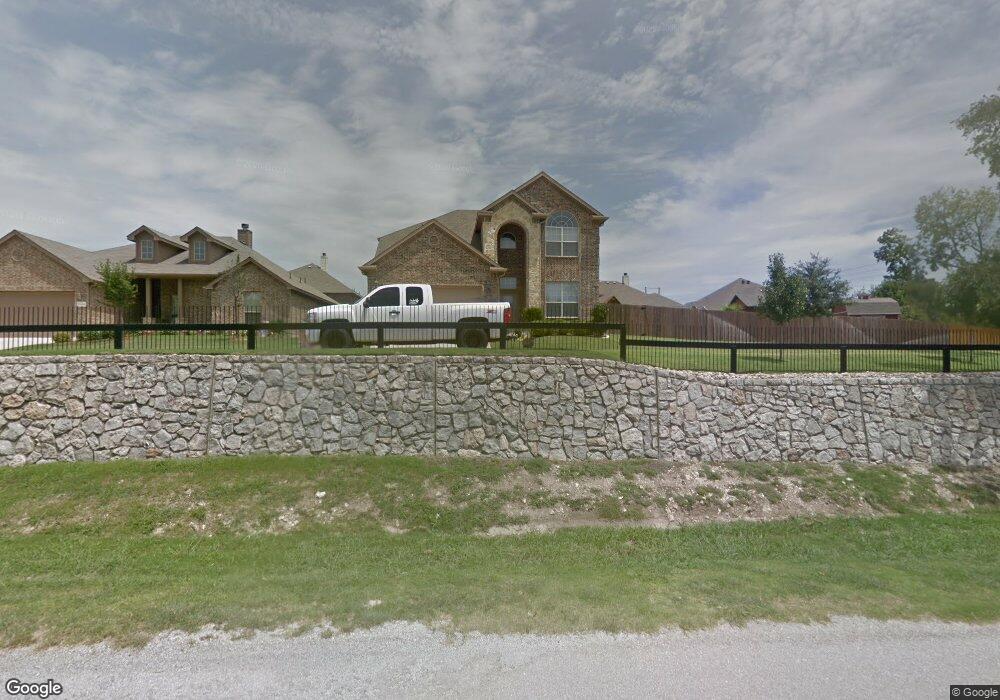
1138 Walter Stephenson Rd Midlothian, TX 76065
Estimated Value: $462,000 - $501,093
4
Beds
4
Baths
2,861
Sq Ft
$168/Sq Ft
Est. Value
About This Home
This home is located at 1138 Walter Stephenson Rd, Midlothian, TX 76065 and is currently estimated at $481,547, approximately $168 per square foot. 1138 Walter Stephenson Rd is a home located in Ellis County with nearby schools including Irvin Elementary School and Frank Seale Middle School.
Ownership History
Date
Name
Owned For
Owner Type
Purchase Details
Closed on
Apr 27, 2012
Sold by
Woosley Michael Albert and Woosley April Lee
Bought by
Anderson Randal R
Current Estimated Value
Home Financials for this Owner
Home Financials are based on the most recent Mortgage that was taken out on this home.
Original Mortgage
$213,750
Outstanding Balance
$148,582
Interest Rate
3.97%
Mortgage Type
New Conventional
Estimated Equity
$332,965
Purchase Details
Closed on
Oct 29, 2009
Sold by
Guaranty Plus Properties Llc 2
Bought by
Woosley Michael Albert and Woosley April Lee
Home Financials for this Owner
Home Financials are based on the most recent Mortgage that was taken out on this home.
Original Mortgage
$200,305
Interest Rate
5.05%
Mortgage Type
FHA
Purchase Details
Closed on
Jun 2, 2009
Sold by
Wall Homes Inc
Bought by
Guaranty Plus Properties Llc-2
Create a Home Valuation Report for This Property
The Home Valuation Report is an in-depth analysis detailing your home's value as well as a comparison with similar homes in the area
Home Values in the Area
Average Home Value in this Area
Purchase History
| Date | Buyer | Sale Price | Title Company |
|---|---|---|---|
| Anderson Randal R | -- | None Available | |
| Woosley Michael Albert | -- | -- | |
| Guaranty Plus Properties Llc-2 | $60,000,000 | -- |
Source: Public Records
Mortgage History
| Date | Status | Borrower | Loan Amount |
|---|---|---|---|
| Open | Anderson Randal R | $213,750 | |
| Previous Owner | Woosley Michael Albert | $200,305 |
Source: Public Records
Tax History Compared to Growth
Tax History
| Year | Tax Paid | Tax Assessment Tax Assessment Total Assessment is a certain percentage of the fair market value that is determined by local assessors to be the total taxable value of land and additions on the property. | Land | Improvement |
|---|---|---|---|---|
| 2025 | $4,648 | $447,544 | $99,000 | $348,544 |
| 2024 | $4,648 | $446,350 | -- | -- |
| 2023 | $4,648 | $405,773 | $0 | $0 |
| 2022 | $8,265 | $368,885 | $0 | $0 |
| 2021 | $7,936 | $335,350 | $49,500 | $285,850 |
| 2020 | $7,850 | $312,070 | $45,000 | $267,070 |
| 2019 | $7,916 | $302,270 | $0 | $0 |
| 2018 | $7,084 | $303,830 | $25,000 | $278,830 |
| 2017 | $7,378 | $277,180 | $25,000 | $252,180 |
| 2016 | $6,897 | $266,080 | $25,000 | $241,080 |
| 2015 | $5,293 | $235,540 | $25,000 | $210,540 |
| 2014 | $5,293 | $221,140 | $0 | $0 |
Source: Public Records
Map
Nearby Homes
- 925 Walter Stephenson Rd
- X Walter Stephenson Rd
- 1422 S 3rd St
- 1801 Chuckwagon Dr
- 1003 Sierra Vista Ct Unit 2
- 1805 Wood Duck Ct
- 1810 Rugged Trail
- 301 Hillcrest Dr
- 205 Hillcrest Dr
- 705 S 4th St
- 1140 Cedar Dr
- 2205 Golden Rod Dr
- The Aledo Plan at MidTowne
- The Brazos Plan at MidTowne
- The Bastrop Plan at MidTowne
- The Cibolo Plan at MidTowne
- The Alvarado Plan at MidTowne
- The Cisco Plan at MidTowne
- The Beaumont Plan at MidTowne
- The Bonham Plan at MidTowne
- 1134 Walter Stephenson Rd
- 1134 Walter Stephenson Rd
- 1525 Melanie Trail
- 1529 Melanie Trail
- 1521 Melanie Trail
- 1130 Walter Stephenson Rd
- 1517 Melanie Trail
- 1126 Walter Stephenson Rd
- 1513 Melanie Trail
- 1122 Walter Stephenson Rd
- 1530 Melanie Trail
- 1526 Melanie Trail
- 1522 Melanie Trail
- 1534 Melanie Trail
- 1509 Melanie Trail
- 1518 Melanie Trail
- 1118 Walter Stephenson Rd
- 1505 Melanie Trail
- 1514 Melanie Trail
- 909 Whitney Dr