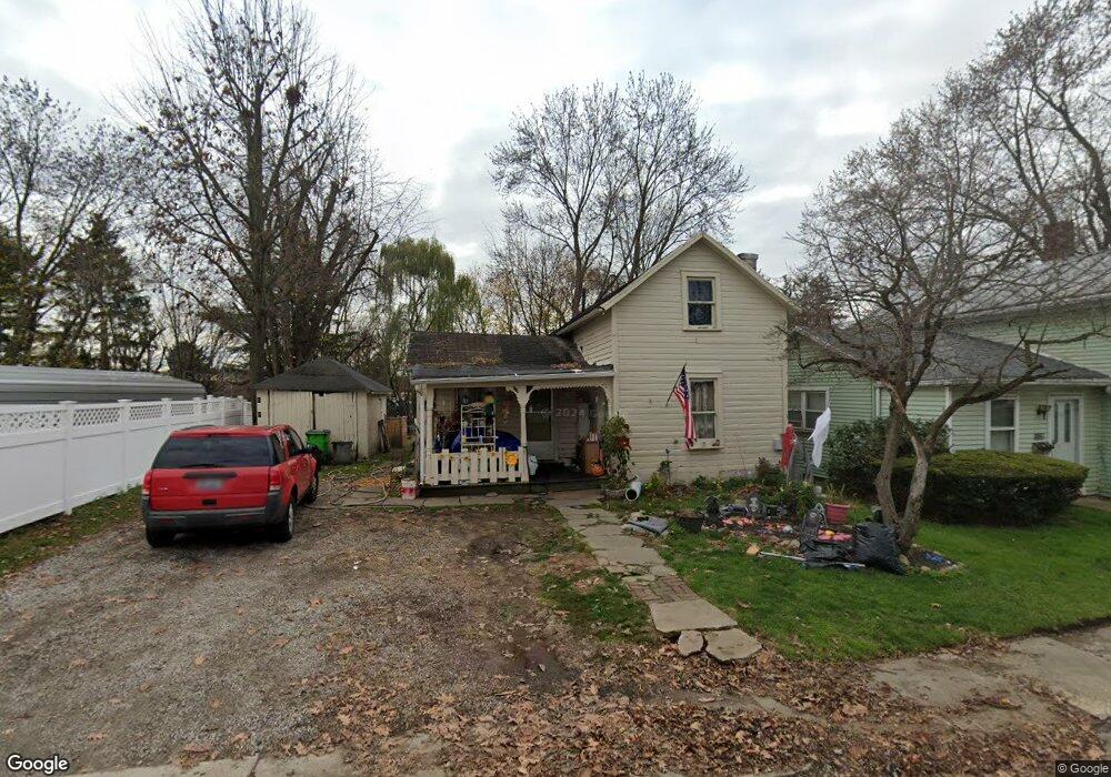
1139 Billiar St Wooster, OH 44691
Estimated Value: $60,449 - $103,000
3
Beds
1
Bath
740
Sq Ft
$105/Sq Ft
Est. Value
About This Home
This home is located at 1139 Billiar St, Wooster, OH 44691 and is currently estimated at $77,612, approximately $104 per square foot. 1139 Billiar St is a home located in Wayne County with nearby schools including Cornerstone Elementary School, Edgewood Middle School, and Wooster High School.
Ownership History
Date
Name
Owned For
Owner Type
Purchase Details
Closed on
Dec 1, 2023
Sold by
Yates Property Services Llc
Bought by
Lewis Donald W
Current Estimated Value
Purchase Details
Closed on
Jul 28, 2023
Sold by
Yates Timothy G and Yates Tina Ann
Bought by
Yates Property Services Llc
Purchase Details
Closed on
Aug 21, 1995
Sold by
Sprang Robert E
Bought by
Yates Timothy G and Yates Tina A
Purchase Details
Closed on
Dec 13, 1993
Sold by
Forbes Lois J and Forbes Curtis L
Bought by
Sprang Robert E and Sprang Patsy A
Purchase Details
Closed on
Dec 30, 1988
Sold by
Klingler Gary and Klingler Jean
Bought by
Forbes Mona J and Forbes Dale E
Create a Home Valuation Report for This Property
The Home Valuation Report is an in-depth analysis detailing your home's value as well as a comparison with similar homes in the area
Home Values in the Area
Average Home Value in this Area
Purchase History
| Date | Buyer | Sale Price | Title Company |
|---|---|---|---|
| Lewis Donald W | $28,000 | Killbuck Title | |
| Yates Property Services Llc | -- | None Listed On Document | |
| Yates Timothy G | $28,000 | -- | |
| Sprang Robert E | $24,500 | -- | |
| Forbes Mona J | $15,500 | -- |
Source: Public Records
Tax History Compared to Growth
Tax History
| Year | Tax Paid | Tax Assessment Tax Assessment Total Assessment is a certain percentage of the fair market value that is determined by local assessors to be the total taxable value of land and additions on the property. | Land | Improvement |
|---|---|---|---|---|
| 2024 | $1,145 | $17,640 | $7,480 | $10,160 |
| 2023 | $1,091 | $17,640 | $7,480 | $10,160 |
| 2022 | $718 | $13,370 | $5,670 | $7,700 |
| 2021 | $740 | $13,370 | $5,670 | $7,700 |
| 2020 | $702 | $13,370 | $5,670 | $7,700 |
| 2019 | $700 | $12,770 | $5,500 | $7,270 |
| 2018 | $702 | $12,770 | $5,500 | $7,270 |
| 2017 | $698 | $12,770 | $5,500 | $7,270 |
| 2016 | $730 | $12,280 | $5,290 | $6,990 |
| 2015 | $717 | $12,280 | $5,290 | $6,990 |
| 2014 | $735 | $12,280 | $5,290 | $6,990 |
| 2013 | $791 | $13,330 | $5,440 | $7,890 |
Source: Public Records
Map
Nearby Homes
- 202 Palmer St
- 638 High St
- 606 E Henry St
- 554 Nold Ave
- 733 Spink St
- 804 Belmont Ave
- 548 Spring St
- 1029 E University St
- 1132 E University St
- 329 E Bowman St
- 336 Spring St
- 657 N Bever St
- 423 N Market St
- 534 N Buckeye St
- 140 Ohio St
- 708 N Bever St
- 229 N Walnut St
- 227 N Walnut St
- 406 N Walnut St
- 323 N Grant St
- 1141 Billiar St
- 1129 Billiar St
- 1147 Billiar St
- 1140 Billiar St
- 0 Billiar St
- 1157 Billiar St
- 1148 Billiar St
- 203 Palmer St
- 165 Palmer St
- 153 Palmer St
- 1165 Billiar St
- 1165 Billiar St
- 207 Palmer St
- 145 Palmer St
- 159 Palmer St
- 1164 Billiar St
- 164 Billiar St
- 139 Palmer St
- 1119 Rebecca St
- 1133 Rebecca St