Estimated Value: $394,012 - $751,000
--
Bed
--
Bath
1
Sq Ft
$594,753/Sq Ft
Est. Value
About This Home
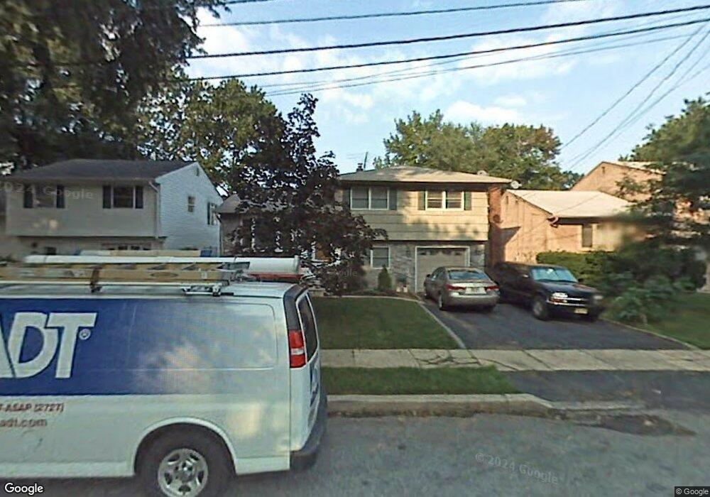
This home is located at 1139 Darby Ln, Union, NJ 07083 and is currently estimated at $594,753, approximately $594,753 per square foot. 1139 Darby Ln is a home located in Union County with nearby schools including Washington Elementary School and Union High School.
Ownership History
Date
Name
Owned For
Owner Type
Purchase Details
Closed on
Jul 16, 2010
Sold by
Parella Robert and Parella Karen
Bought by
Pereira Mario J and Pereira Veronique
Current Estimated Value
Home Financials for this Owner
Home Financials are based on the most recent Mortgage that was taken out on this home.
Original Mortgage
$275,000
Outstanding Balance
$183,106
Interest Rate
4.76%
Mortgage Type
New Conventional
Estimated Equity
$411,647
Purchase Details
Closed on
Jul 24, 2002
Sold by
Parella Robert
Bought by
Parella Robert and Parella Karen
Home Financials for this Owner
Home Financials are based on the most recent Mortgage that was taken out on this home.
Original Mortgage
$137,000
Interest Rate
6.58%
Purchase Details
Closed on
Apr 19, 2000
Sold by
Parella Robert
Bought by
Parella Robert and Parella Karen
Create a Home Valuation Report for This Property
The Home Valuation Report is an in-depth analysis detailing your home's value as well as a comparison with similar homes in the area
Home Values in the Area
Average Home Value in this Area
Purchase History
| Date | Buyer | Sale Price | Title Company |
|---|---|---|---|
| Pereira Mario J | $345,000 | Chicago Title Insurance Co | |
| Parella Robert | $135,000 | -- | |
| Parella Robert | -- | -- |
Source: Public Records
Mortgage History
| Date | Status | Borrower | Loan Amount |
|---|---|---|---|
| Open | Pereira Mario J | $275,000 | |
| Previous Owner | Parella Robert | $137,000 |
Source: Public Records
Tax History Compared to Growth
Tax History
| Year | Tax Paid | Tax Assessment Tax Assessment Total Assessment is a certain percentage of the fair market value that is determined by local assessors to be the total taxable value of land and additions on the property. | Land | Improvement |
|---|---|---|---|---|
| 2025 | $10,639 | $47,600 | $20,200 | $27,400 |
| 2024 | $10,314 | $47,600 | $20,200 | $27,400 |
| 2023 | $10,314 | $47,600 | $20,200 | $27,400 |
| 2022 | $9,956 | $47,600 | $20,200 | $27,400 |
| 2021 | $9,715 | $47,600 | $20,200 | $27,400 |
| 2020 | $9,521 | $47,600 | $20,200 | $27,400 |
| 2019 | $9,393 | $47,600 | $20,200 | $27,400 |
| 2018 | $9,233 | $47,600 | $20,200 | $27,400 |
| 2017 | $9,096 | $47,600 | $20,200 | $27,400 |
| 2016 | $8,875 | $47,600 | $20,200 | $27,400 |
| 2015 | $8,727 | $47,600 | $20,200 | $27,400 |
| 2014 | $8,532 | $47,600 | $20,200 | $27,400 |
Source: Public Records
Map
Nearby Homes
- 536 Lehigh Ave
- 403 Foxwood Rd
- 341 Trotting Rd
- 819 Greenwich Ln
- 394 Martin Rd
- 686 Gates Terrace
- 578 Winchester Ave
- 275 Clermont Terrace
- 321 Salem Rd
- 619 Spruce St
- 1134-1138 Kipling Rd
- 201 E Lincoln Ave
- 277 Newark Ave
- 173 E Webster Ave
- 362 E Clay Ave
- 717 Winchester Ave
- 233 Monticello St
- 45 E Webster Ave
- 315 Hemlock St
- 164 E Clay Ave